
WEST End of SD 46: T intersection, US 18/281, Pickstown SD, Charles Mix County SD
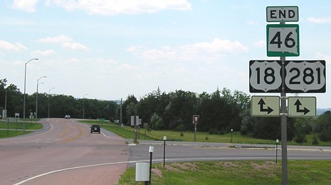
Facing west on 46 (6/26/06)
Pickstown, created during the construction of Fort Randall Dam and Lake Francis Case (2 miles ahead), wasn't incorporated until 1985. In 2000, it only had a population of 168. It's also the boyhood home of former NBC anchor Tom Brokaw. Fort Randall, on the other side of the Missouri River, was originally built in 1856 and closed in 1892, shortly after the Census Bureau declared the "frontier" officially closed.
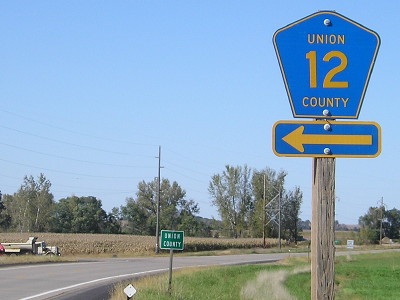
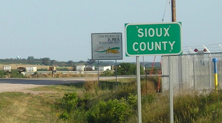
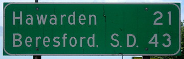
WEST End: South Dakota state line, 4 miles north of Hawarden, Sioux County IA/Union County SD
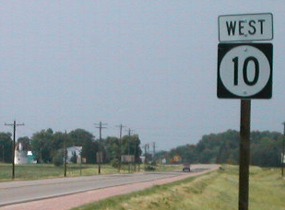
Facing north, but heading west, on 10 (6/18/02 and 9/30/15)
Left photo by Neil Bratney
This is the last sign before 10 goes across the bridge in the background. Coming back into Iowa, the first "East 10" sign is more than a mile south, after County Road B46.
Facing north, but heading west, on 10 (7/20/12)
Highway 10 can enter South Dakota facing north because the Big Sioux River is heading northeast at this point. Hudson SD is northeast of this point, Hawarden IA straight south.
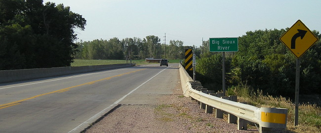
Facing north, but heading west, on 10 (9/30/15)
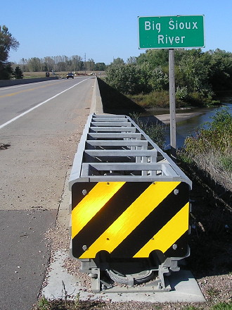
There is a completely different style of guardrail on the same bridge - more of a "crumple zone" kind compared with the long-lasting previous style.
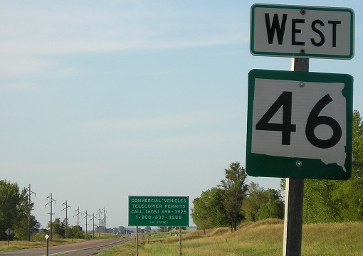
Facing north, but heading west, on SD 46 (9/30/15)
This is the first sign after crossing the bridge, for a county road intersection.
Facing north, but heading west, on SD 46 (7/20/12)
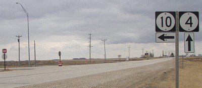
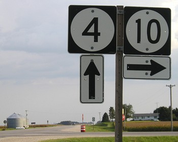
South Dakota's state highways are numbered in a pattern: Even numbers increase going south and odd numbers increase going west, just like the US highway system.
Facing south, but heading east, on 10 (7/20/12)
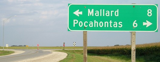
Along the route
Facing west on 10, leaving Orange City (7/17/20)
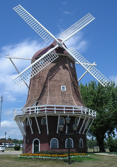
Dutch windmill in Orange City (7/17/20)
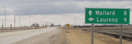
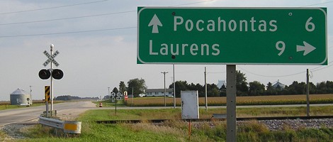
EAST End: Stop sign/T intersection, IA 4, near Havelock, Pocahontas County
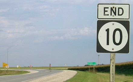
Facing east on 10 (9/8/06)
At commissioning, 10 went the length of the state, taking up what today is IA 3 between Pocahontas and Strawberry Point and IA 13 up to McGregor. The northwest-southeast diagonal between Hawarden and Pocahontas was par for the course in the early system - Le Mars and Fort Dodge were connected via IA 5 - until the commissioning of today's IA 3 straightened some of that out. However, 10 still went six miles south to meet 3 until 1969.
Facing east on 10 (9/8/06)
The road has a slight angle southeast to parallel the railroad tracks.
Facing north on 4 (3/21/03)
Facing north on 4 (3/21/03)
Facing south on 4 (3/21/03)
Facing south on 4 (9/8/10)
Facing south on 4 (9/8/10)
Page created 5/5/04; last updated 9/9/20