Construction on IA 330 in 2001 and 2002
Click on each thumbnail to see a larger image.
|
November
2001: Iowa River bridge/US 30 interchange
|
|
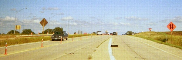 |
In conjunction with the new four-lane, the interchange with US 30 also had some work done. Chiefly, this involved lowering the roadbed to provide a greater clearance for the new bridges. But this work led to an amusing error: This two-way traffic sign on 30 in October was backwards, putting traffic on the wrong sides of the road. |
 |
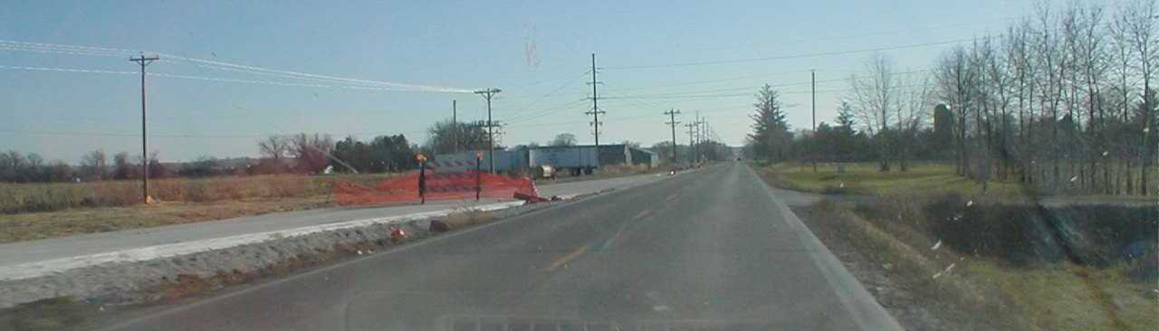
Rather than maintain the straight line of the old road, a bridge was built beside the existing route. I don't know why this was done. I thought it was a waste to have the new road curve back onto the old one, only to curve back again as it meets a new alignment to cross railroad tracks (see below). |
 |
Continuing south, the new pavement splits from the old. |
 |
The new bridge is visible from the old one. Months later, the road we're currently on would be closed and all the pavement removed, with culverts installed at the north end, implying this will not become a roadbed again. |
 |
New pavement merges with the old south of the bridge approaching the former village of Marietta. Hard as it is to believe, Marietta actually competed with Marshalltown to land the county courthouse. |
 |
Facing east on 30 The interchange of US 30 and IA 330 dates back to 1963, but it took another 33 years for it to be connected to a lengthy four-lane segment (the Marshalltown bypass). In the meantime, 30 west of the interchange is still two lanes. |
 |
Earth has been moved for the new southbound bridge. After the new bridge opened, traffic was routed over it and the old bridge, ahead, was replaced. |
 |
Facing north this time, new pavement for the Iowa River bridge splits from the straight-line route. |
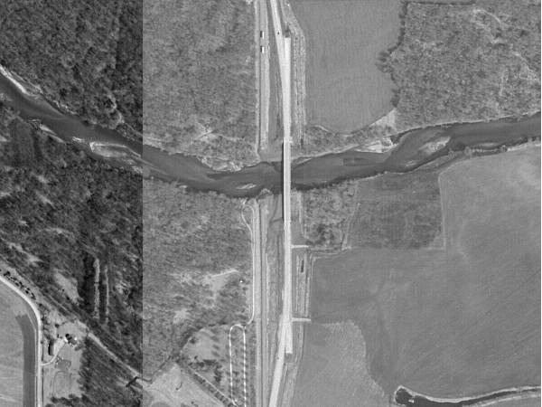 |
This 2002 aerial photo shows how the new pavement and bridge bend away from the old, straight alignment. It's interesting to note that at either end, there is a stub of straight pavement. |
|
October
2002: New road southwest of Albion
|
|
 |
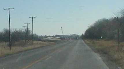
One more time over the railroad south of Albion. |
 |
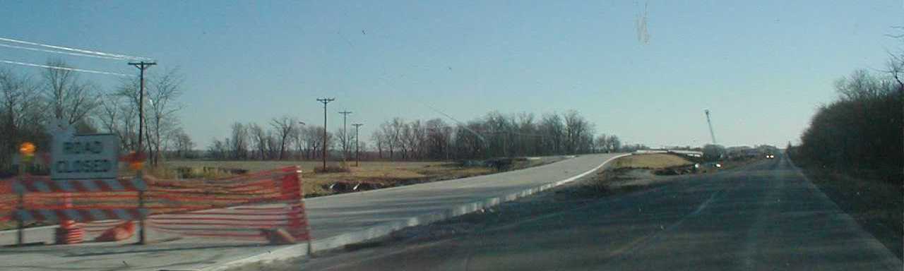
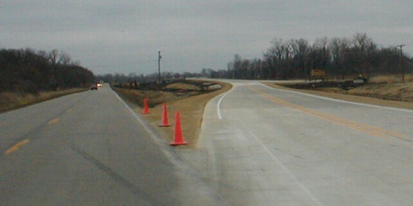
Coming down from the bridge, you can see the new pavement curve as it meets the railroad at grade. Eventually, this hill would be shaved down. |
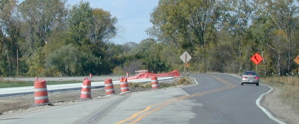 |
Temporary asphalt curves to the right as the new pavement meets the old curve. |
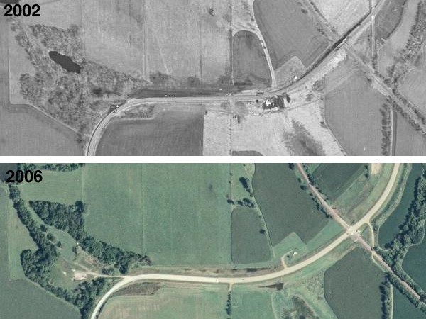 |
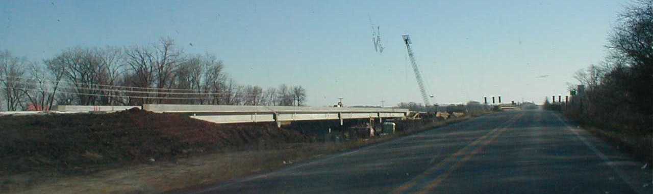
This pair of aerial photos shows how the road was modified around the railroad. The road then goes south, and it's only about half a mile before the new pavement and Iowa River Bridge. Photos from the late 1930s and 2002 put the bridge in the same place, so it is possible that the bridge three pictures up was more than 60 years old when it was finally torn down. |
|
October
2002: Finishing the four-lane
|
|
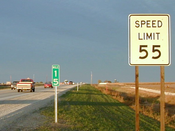 |
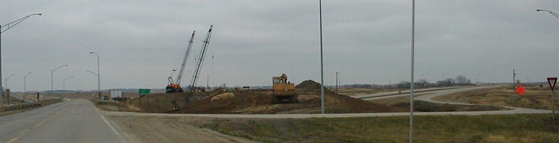
This picture was taken in the six-week period when the south half of 330 was open to four lanes but went back to two at the S62 intersection near Melbourne. After the other two lanes opened the speed limit went to 65. |
 |
New signs at the US 30 interchange. Enough land was taken here that one bin was removed, but unfortunately, a somewhat sharp 20-mph turn from northbound 330 to eastbound 30 is still required. A while after opening, new warning signs were put up warning of the sharp turn. Future upgrades are unlikely. |
|
November
2002: Old IA 59 bridge
|
|
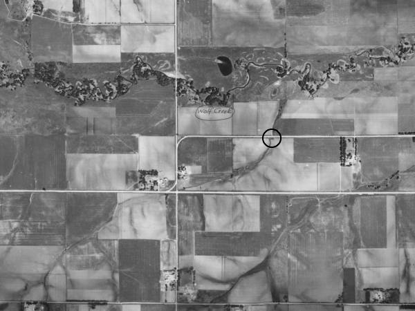 |
This late-1930s aerial photo shows the old alignment of what was then IA 59, curving northward a quarter-mile and heading east, and the new alignment, which cuts straight across. The old route jogged north a quarter-mile again to the east, and again before entering Traer on what is now gravel 180th Street and Toledo Street in town. The circle is the location of the bridge seen below. |
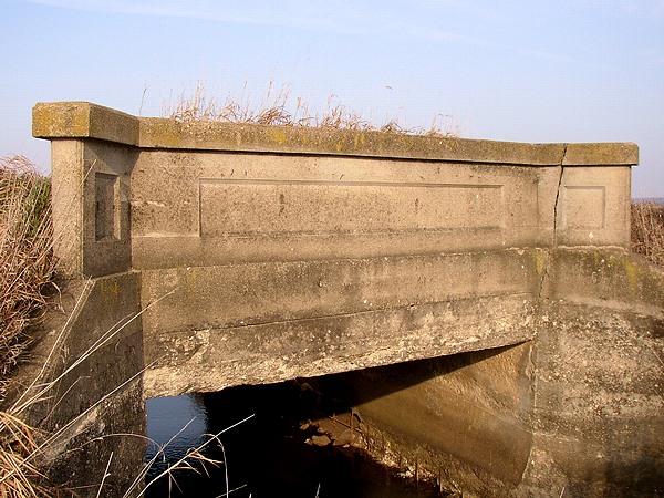 |
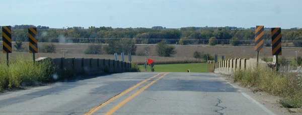
After the new route opened, the mile and a half of old road that was a quarter-mile north of the new one was removed. Today, this short bridge crosses a waterway in the middle of a farm field. |
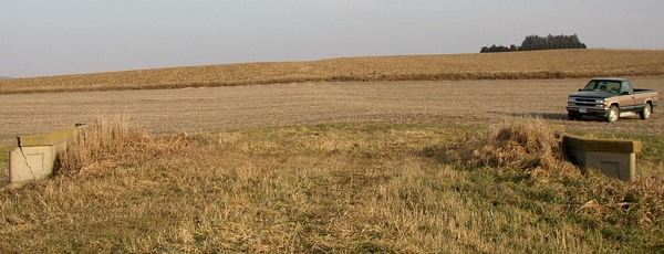 |
If this bridge wasn't here, you would never have been able to tell that a road ran through this spot. |