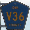
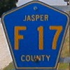
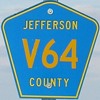
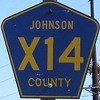
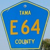
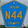
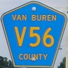
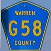
I've been able to locate shields for three-quarters of Iowa's
counties out of my photo collection. The only letter I currently have
no examples of is Z, which can only be found east of US 61 in far eastern Iowa. Quite
a few of these shields are replacements for state highways that were
decommissioned in 2003; others were at intersections with state
highways; still others had their photo taken expressly for this
purpose. (The lack of a digital camera on my trip on June 15-16, 2003,
explains the absence of much of Iowa's southern two tiers of counties.)
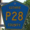
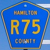
County road shields are generally all the same color in real
life, or at least start out that way.
Their variances here are dependent on the direction the photos were
taken, if and how the sun was shining, and the quality of the camera.
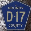
Some shields have white pentagon outlines and white county names; these
are generally older signs (with the exception of Grundy). Shields for
O'Brien County exist both with and without the apostrophe. For at least
the past ten years, no Polk County signs have existed anywhere in that
county.
For a map of how the alphanumeric scheme is laid out, see this
page on Jason Hancock's site. If you ask me, it was a pretty
intelligent idea to make a comprehensive system like this, even if there are some
assorted glitches (most notably, M54 being east of M68 in central Sac
County).
Points of interest among the below photos:
- Shield taken on a Big Green Sign: Adair, Bremer
- Bigger/thicker than "standard" text: Cherokee, Clay, Floyd,
Johnson, Marshall, Plymouth. In these counties, an overwhelming
majority of the shields have text like this; it's rare but not unheard
of in the rest
- Weird shields: Tiny "V" in Black Hawk; the Bremer BGS
shield
(the famous "weird sign" at Denver); all-white and hypenated Grundy
(many older shields in other counties also include hyphens);
extra-pointy Lucas
- No letters: Winnebago (incidentally, all 105 shields in
Lake Mills, which is in Winnebago County, say Worth on them!). The Des
Moines shield has "J20" pasted over "79".
- Diagonals: Allamakee, Linn, Mahaska, Osceola, Webster
- The ever-elusive four-character shield: Sioux (not only
that, but the two letters are both east-west!)
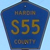
- Replaced a state shield in 2003: Carroll, Clayton, Des
Moines,
Fremont, Hardin, Harrison, Iowa, Johnson, Madison, Mahaska, Marion,
Muscatine, Sac, Scott, Taylor, Warren, Winneshiek.
Alphabetically by county:
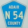
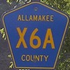
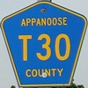
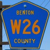
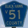
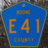
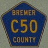
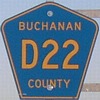
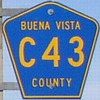
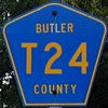
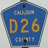
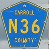
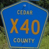
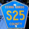
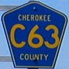
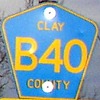
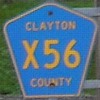
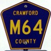
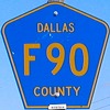
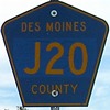
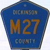
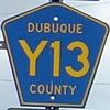
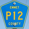
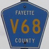
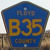
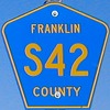
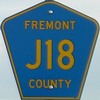
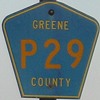
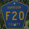
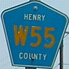
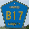
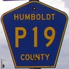
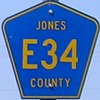
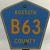
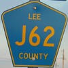
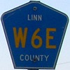
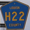
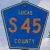
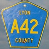
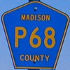
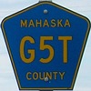
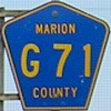
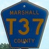
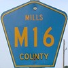
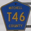
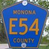
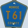
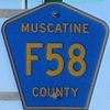
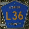
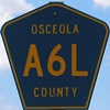
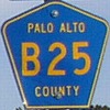
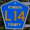
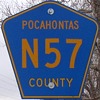
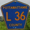
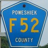
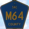
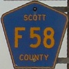
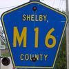
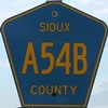
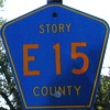
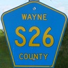
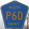
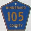
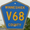
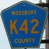
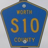
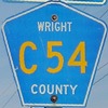
Other
county shield sights
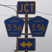
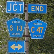
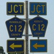
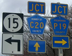
The very rare two-county
bracket assembly
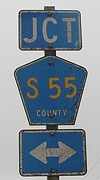
The ultra-rare (this may be the only
one) NO-county assembly. This, and the S56, are on old US 20/IA 57 -
two different solutions to the same problem. Compare to IA 21 on the
Tama/Benton line, where all the shields are Tama shields and roads only
going into Benton County have no blue pentagons on 21.
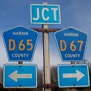
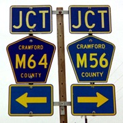
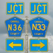
Two county roads with the same letter
but different numbers rarely meet at the same intersection. There are
at least two other known locations like this: Cedar County Y14/Y24 at
US 30 in Lowden, and Clinton County Y32/Y4E in Wheatland. Compare the
"Crawford" styles in each shield in the center photo.
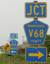
The different-number intersection became
a little more common after 2003, because some spurs began at one county
road but ended at another. In this case, the V68 pole used to hold an
IA 193 shield.
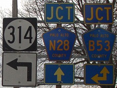
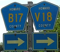
The implied duplex: Arrows at an
intersection indicate two designations share one road, but the road
isn't always signed like this past the intersection.
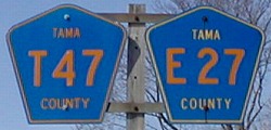
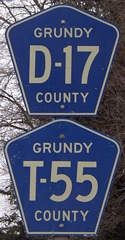
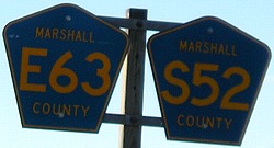
The actual duplex: These DO exist, and
here's the photographic proof. While these sites are somewhat close
together, I believe I have seen a few sets in other parts of the state.
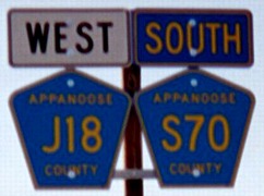
Another actual duplex created after a
state highway was decommissioned (IA 142) - but since this was a county
road before 1980, the routes may have been co-signed then too.
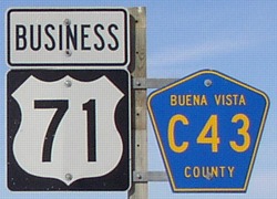
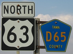
While many county roads
have implied multiplexes with state or US highways for a mile or two,
these are almost never
actually signed. The bracket assembly at right is/was in northern Tama
County, and despite my many trips through the state this is the only
time I came across a signed duplex with a regular highway. The old D65
shield at right was replaced in 2004, but then in late 2006, it
disappeared - along with a bunch of other US 63 shields posted at
assorted places in Tama County. Now, the intersections read "Jct D65"
despite the implied duplex with US 63. Business 71 is a special case -
because it has a lot of
rural mileage, both C43 and M44 shields appear along the route.
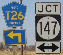
IA 147 may have been the only spur route
to have a county road intersect in the middle; most were simply too
short. IA 244 and L55 were technically duplexed for their entire route,
but signs didn't show it.
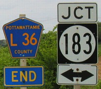
"End" shields on county roads are not as
rare as you might think. "End" shields underneath the county road, now
that's rare, and only in western Iowa. Now, L36 ends at L20, the new
designation for IA 183 here.
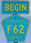
This Poweshiek County marker at the beginning of old IA 225 is
perhaps the only site in Iowa with a "Begin" tag on a county road. They
are used only rarely on state highways, and didn't exist at all until
around the beginning of the decade. (The color may look off because the
flash went off. Sigh - the perils of photographing reflective items.)
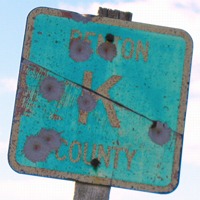
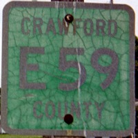
Before the alphanumeric system was
implemented, Iowa's county roads had single letters much like Wisconsin
and were on square green panels. Even then, the county name was
included. This Benton County K (V42) had beaten the odds for about
35 years when I saw it in 2003. It could still be up. Then, a few
counties apparently had enough green blanks to carry over into the new
system, which resulted in this interesting shield in Dow City (right).
Page created 2/4/07; last updated 6/30/11


