
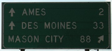
NORTH End: I-35 exit 113, Ames, Story County
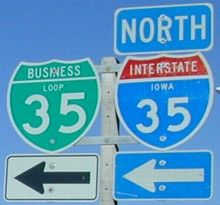
Facing east on Loop 35 (13th Street) / Facing north on the I-35 offramp (split picture)
At both ends, signs direct the business loop to rejoin the interstate, without any "End" signs. As is often the case with business routes, it's only signed in one direction. The shield is on the 13th Street exit southbound, and with the US 30 west exit northbound. (The latter fell off the sign at least once in 2001.) It's interesting that exit 113 is for 13th Street.
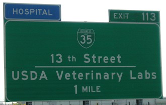
Story County has signs directing people to I-35 all over the place, but this one is just ridiculous. Not only did we just get off 35 and are at the end of the offramp, about ten feet to the left of this sign is the onramp! It's as if we don't know what each road does in a diamond interchange.
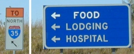
Facing west on 13th Street
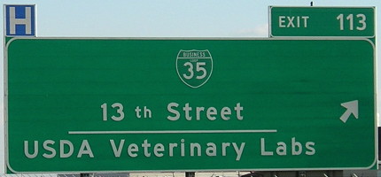
These two pictures are taken east of I-35, on an asphalt road that becomes 13th Street in Ames. After the bridge, it also becomes part of the first I-35 business loop in Iowa.
Facing west on 13th Street
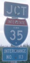
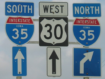
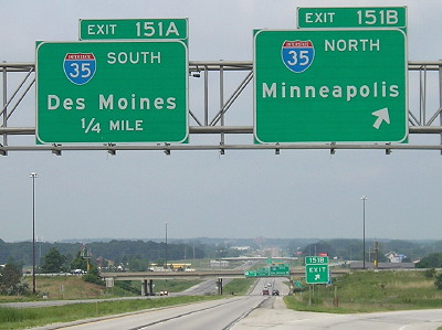
Facing south on 35
Facing north on 35
Along the route
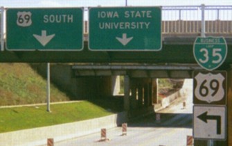
Facing south on 69
The loop follows 13th Street independent of any other designation until it joins US 69 at the intersection of 13th and Grand. It then joins 69 - and is the top shield on the route - until the US 69/US 30 interchange. This picture is approaching the Lincoln Way intersection, which underwent a complete overhaul in the summer of 2001. The BGSs are on the Main Street bridge, with a railroad bridge behind it. At the intersection, 69 goes left (east) on Lincoln, and Iowa State is to the right (west) on Lincoln. Notice the different arrow sizes.
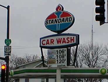
Southeast corner, Lincoln Way and Duff Avenue
This was the only Standard in Ames, along with five Amocos. It was replaced by a BP in December 2002 or January 2003. Ironically, this station had been locally known as "Butch's Amoco". Ames lost its last Amoco in the summer of 2003.
Ah, those were the days, when gas prices flirted with one dollar instead of two (or even three).
Facing south on 69 (November 2001 / July 2005)
Facing south on 69
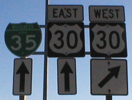
These signs show up at the interchange of US 30 and US 69/Duff Avenue. There is one inner loop at this interchange, from southbound 69 to eastbound 30, and the [southbound] business loop follows it. It will not show up again on 30 until the I-35 interchange.
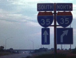
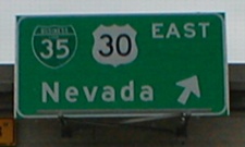
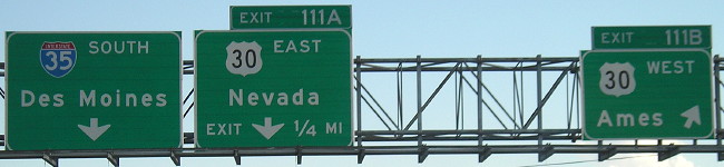
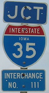
SOUTH End: I-35 exit 111, Ames, Story County
Facing east on 30
Facing east on 30
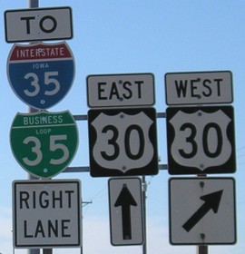
These two signs are in a darker green than other BGSs. I don't know why.
Facing east on 30
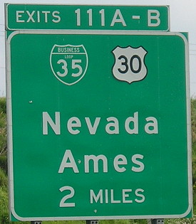
Facing north on 35 (sign has been replaced)
Facing north on 35 (2005)
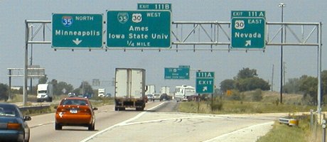
These signs have been replaced with Clearview versions, and "Iowa State University" is now spelled out. Because Nevada is the next county seat to the east, Marshalltown does not appear on any I-35 BGSs.
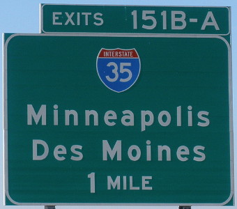
Facing north on 35 (2010)
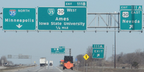
The middle sign was replaced, but the others remain. Notice that "Ames" is in larger type.
Facing south on 35
The pull-through BGSs are a "throwback" to the 1960s, when they were much more common, even though in this case the right lane doesn't have to exit.
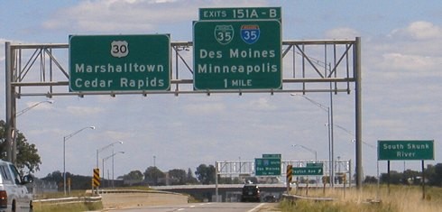
Facing west on 30
These ground-mounted signs are from when the four-lane 30 ended here at the interstate. The interchange opened in 1964, and 30 was upgraded around Ames in the early 1970s, but this is where the expressway stopped until 1992. They are/were made redundant with the complete signs, below.
Facing west on 30
All pictures by me: Top two (second is split), 9/20/02; third and fourth, 6/29/01; fifth and sixth, 7/25/07; seventh and 21st, 7/7/11; eighth and 18th, 6/23/05; ninth, Sept. 2001; tenth and thirteenth, 11/29/01; eleventh, 11/10/01; twelfth, 7/19/05; 14th-16th, 6/3/04; 17th, 22nd, 23rd, and 25th, 7/6/11; 19th and 20th, 3/25/10; 24th, 11/8/09
Page created 5/29/02; last updated 4/18/12