
(1924-August 16, 1989)
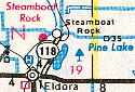
NORTH End: 6th St., Steamboat Rock, Hardin County
Facing east, but heading south, at historic start of 118 (7/22/15)
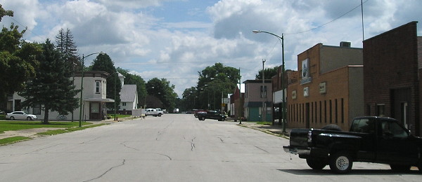
The end of IA 118 was at the west end of the business district. It went east on Market Street, past the school, then turned south.
The Steamboat Rock school is one of the few success stories of an Iowa school building being repurposed. In this case, it is a "mall" of sorts, with assorted small businesses in classrooms, and the gym is used for community activities. (7/22/15)
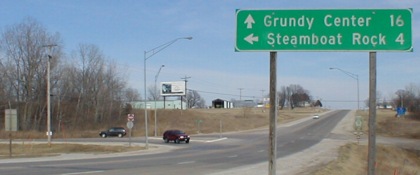
Facing north on 118 (3/23/02)
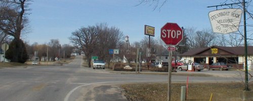
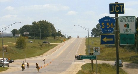
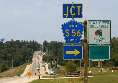
This is the intersection of S56 and D35, which I mistook for a time to be the end. Instead, it went north and then west.
LGS in above picture (by white car), on S56 (note "Business District" in middle background) (3/23/02)
Hardin County, like other counties, occasionally has signs just after the intersection that would normally/should appear before it.
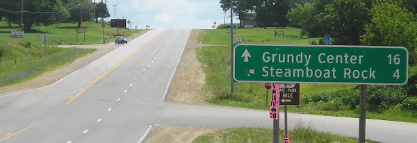
Facing south on 118 (7/28/04)
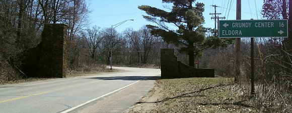
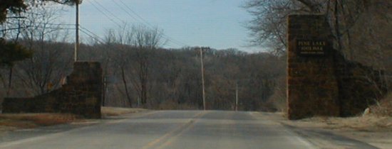
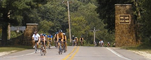
About half of the route is in Pine Lake State Park (see entrance picture below).
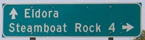
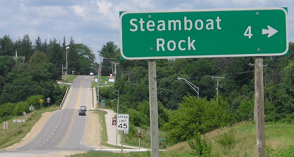
SOUTH End: Stop sign, IA 175, near Eldora, Hardin County
Facing south on 118 (4/4/06)
Facing east on 175 (7/28/04 and 7/22/15)
The arrow under the Greenbelt sign must have fallen off or been removed; you can make out the outline.
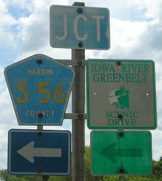
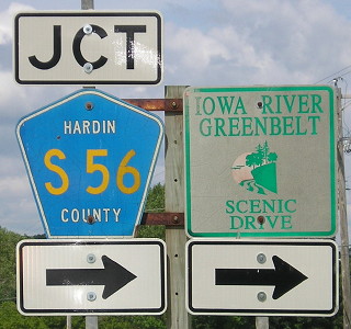
LGS at bottom of above picture (3/23/02)
The sign for entering Eldora is on the far left. Although only 4 miles away from Eldora, Steamboat Rock is a part of the Ackley-Geneva-Wellsburg-Steamboat Rock school district, formed in 1999 after a controversial merger process.
Facing east on 175 (7/22/15)
Facing west on 175 (7/28/04 and 7/22/15)
Coming into Eldora from the west, there is a very pretty view of the Iowa River valley. Assuming the "Iowa River Greenbelt Scenic Drive" sign is the same, it's amazing the beating it took in a decade.
Facing west on 175 (7/28/04)
Facing west on 175 (7/22/15)
Facing north on 118 (3/23/02)
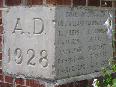
Immediately after you turn onto 118, you enter Pine Lake State Park. Pine Lake was created as part of a CCC project in the 1930s. Compare the plaque at right to the picture below:
Facing north on 118 (7/28/04)
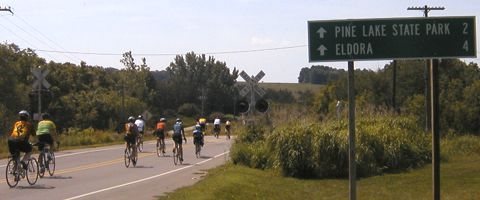
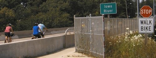
RAGBRAI riders prepare to turn westward into Eldora in July 2004.
Facing west on 175 (7/28/04)
I'll let this picture speak for itself.
Last seen: 1989 (1986 map)
Page created 5/7/02; last updated 5/4/16