
(1931-July 1, 2003)
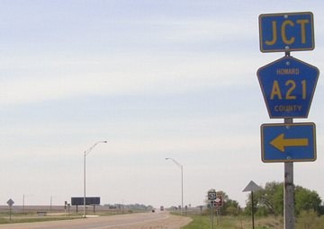
WEST End: Stop sign/T intersection, US 63, Howard County
All of Dennis Swanson's pictures are pre-decommissioning; mine are post-decommissioning.
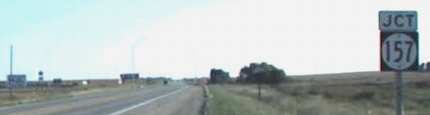
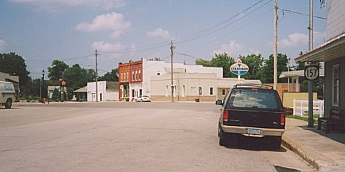
Facing west on 157 (use your imagination) (5/19/04)
Facing west on 157 (9/13/15)
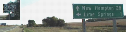
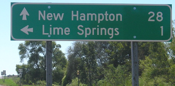
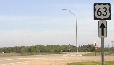
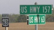
Facing south on 63 (9/27/02)
Photo by Dennis Swanson
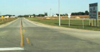
Same post on 63 post-decommissioning (5/19/04)
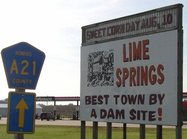
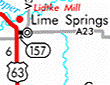
It's A21 because A23, unmarked on the state map, does come into Lime Springs from the southwest.
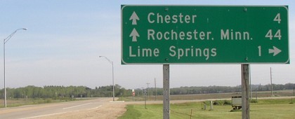
Facing south on 63 (9/27/02)
Photo by Dennis Swanson
Facing south on 63 (9/13/15)
Facing north on 63 (5/19/04)
Facing north on 63 (9/13/15)
Facing north on 63 (9/27/02)
Photo by Dennis Swanson
63 shield in above picture, facing north (5/19/04)
Facing east at beginning of 157 (9/27/02)
Photo by Dennis Swanson
Facing east (5/19/04)
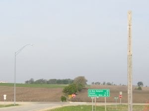
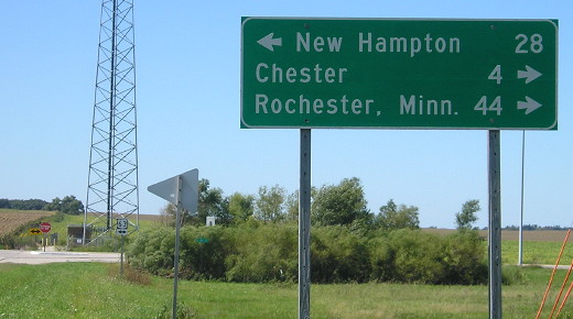
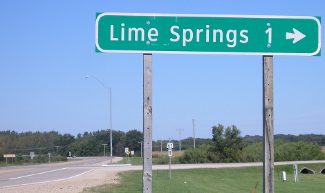
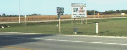
Lime Springs - home of Lidtke Mill and alleged destination of travelers on 63 around the New Hampton bypass.
Uh...no. In fact, US 157 doesn't even exist. (5/19/04)
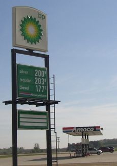
Yikes! The first time I ever saw $2 non-premium gas in Iowa. The gas station in 2004 had vending machines for both the Waterloo Courier and Des Moines Register, but four miles up the road at the state line in Chester, the Phillips 66 carried the Rochester Post-Bulletin. This intersection is 1½ times as far from Waterloo as it is Rochester. (5/19/04)
Starting as an Amoco, rebranded as BP, and Cenex for a time, the gas station at the corner of 63 and old 157 is now a Casey's.
EAST End: Main St., Lime Springs, Howard County
Facing northeast, but heading east, on 157 (Spring 2002)
Photo by Monte Castleman
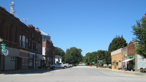
In Lime Springs, 157 turns southeast to match all the other streets in town, set to parallel the old railroad alignment. Right at the end, though, according to Monte Castleman, "it then turns left to end at the central business district at a five-way intersection." (But see more below.) The turn was evident after decommissioning by the way the two directions that weren't 157 had stop signs. A pole to the left, out of the picture, has mile marker 1. Although IA 327's north end was closer to the Minnesota border, on the whole 157 was the northernmost spur in the state.
Facing northeast (5/19/04)
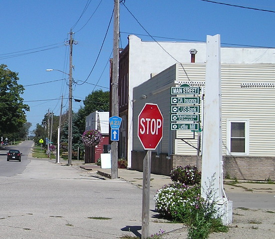
To be accurate, it's not quite a five-way intersection, but two roads come together on the east side close enough for it to be considered one. (Note the stop signs.) At left is the first sign for A23 since entering town; it ran into 157 about three blocks behind the camera.
Facing north on V36, but heading east on A23
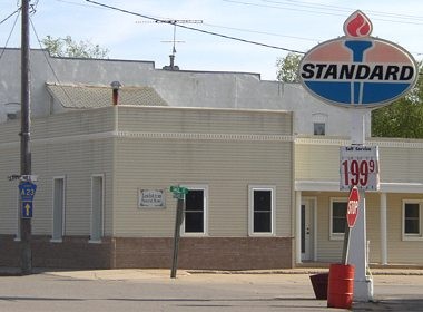
The old Standard sign is gone and a local "wayfinding" arrangement is on the pole.
Old EAST End: Downtown Lime Springs, Howard County
Facing northwest (9/13/15)
Paving records show that until 1996, 157 took another turn in town so that its east end was facing northwest. That year, the route lost 110 meters according to the logs, which were in the midst of an ill-fated metric conversion. DOT records online in the 2010s indicate that the extension on Main Street actually should have been dropped from the state system in 1972.
Last seen: 2003
While studying maps of the area, an interesting question arose: What's up with 157 being created in 1931? Turns out that it wasn't the first route with the number. I had to go to the microfilmed Highway Commission minutes to find a really tiny connection from Monticello to then-US 161 in 1928, which never showed up on maps and probably didn't last the year.
Pictures by me: First, second, fourth, sixth, eighth, tenth-twelfth, and fourteenth, 5/19/04
Page created 9/1/02; last updated 8/30/16