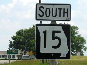
SOUTH 
(No, not that one!)
(January 1, 1969-July 1, 2003)
NORTH End: Stop sign, IA 2, Milton, Van Buren County
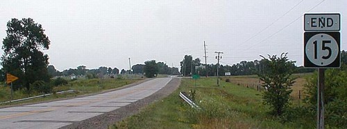
Facing north on 15, pre-decommissioning
Photo by Ben Prusia
The only duplication in Iowa (1969-2003) where both versions are state highways is 15. The more-known one goes from IA 3 in Pocahontas County to the Minnesota line. Both 15s cover much more ground in the other states; Minnesota's goes to US 10 in St. Cloud.
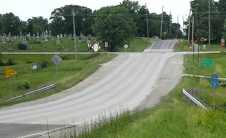
Facing north on 15, post-decommissioning
When they said the road was going to "revert", I didn't think they meant "to gravel", but that was exactly the situation at the intersection in summer 2007.
Facing north on 15
Facing west on 2
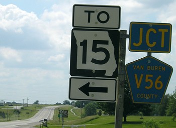
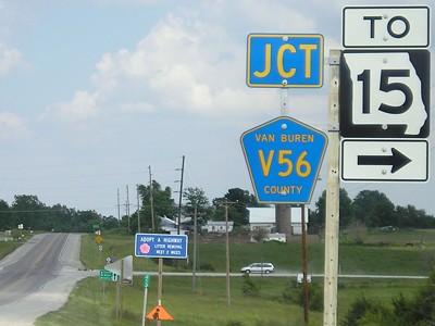
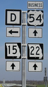
Both of the "To MO 15" shields at this intersection use extra-wide numbers.
Facing east on 2
Facing east on 2
Photo by Jason Hancock
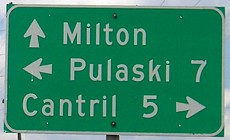
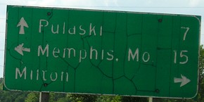
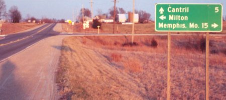
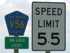
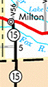
The two Iowa towns on this LGS, Cantril and Milton, lost their high school (Fox Valley) in 2002, and then the county lost Highway 15 a year later.
Facing south on 15
SOUTH End: Missouri state line, Van Buren County IA/Scotland County MO
Facing south on 15
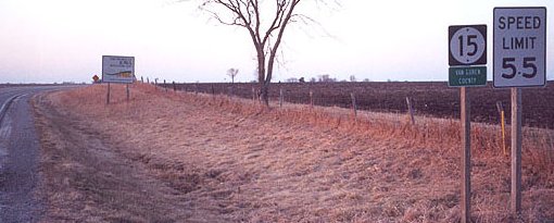
Closeup of first sign
Facing north on 15, pre-decommissioning
Photo by Jason Hancock
Facing north on 15, post-decommissioning
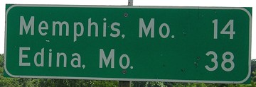
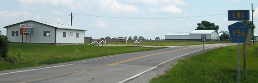
Turn around at the fireworks stand and take MO 15 to Memphis and Mexico - Missouri, that is...
SOUTH End of MO 15: Interchange, US 54, near Mexico MO, Audrain County MO
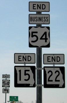
Facing south on 15
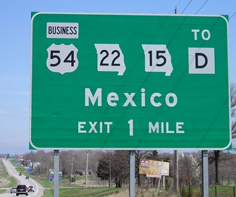
Facing north, but heading east, on 54
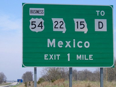
Facing west on 54
Facing north on 15
Last seen: 2003
Pictures by Jason Hancock: Seventh and ninth, 3/16/02
Pictures by me: Second-sixth, eighth-tenth, and twelfth, 6/11/07; 13th-17th, 4/20/08
Page created 5/7/02; last updated 1/28/10