
(January 8, 1931-December 22, 1980)
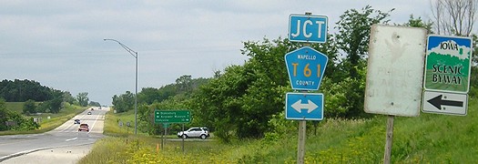
NORTH End: Stop sign, US 34, just west of Monroe/Wapello county line
Facing north on 213 (7/11/05)
Until US 34's realignment in the mid-'60s, 213 ended a mile north of here.
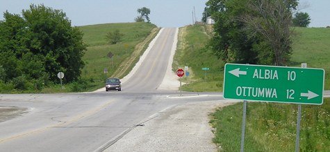
Facing east on 34 (7/11/05)
Later version of sign (8/24/19)
Facing east on 34 (7/11/05)
The county line is between the intersection and the "East 34" just after the intersection. However, 213 does completely swing into Wapello County for a distance.
Facing west on 34 (6/11/07)
Facing west on 34 (6/11/07)
SOUTH End: High Street, Blakesburg, Wapello County
Facing south on 213 (7/11/05)
These are DOT-standard signs coming into town, and they show their age. Ahead is a four-way stop, and it's likely that 213 took a left turn there for one block.
Facing north on Main Street (7/11/05)
This is that four-way stop. County Road T61 uses this street the whole way, but downtown Blakesburg is to the right.
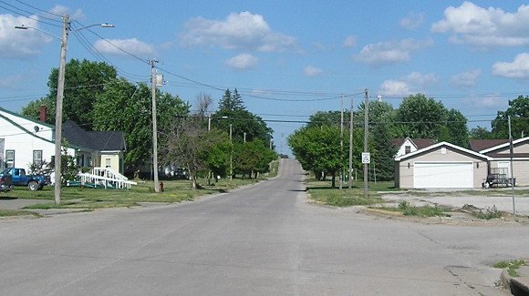
Facing east on 213/State Street (6/18/18)
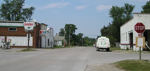
IA 213 would have ended here. Ahead is County Road H47 (unsigned in town), which is also the 1910s Blue Grass Road to Ottumwa. In the other direction, the Blue Grass followed future 213 a mile north out of Blakesburg then headed west to Albia on a route that remains partially unpaved today.
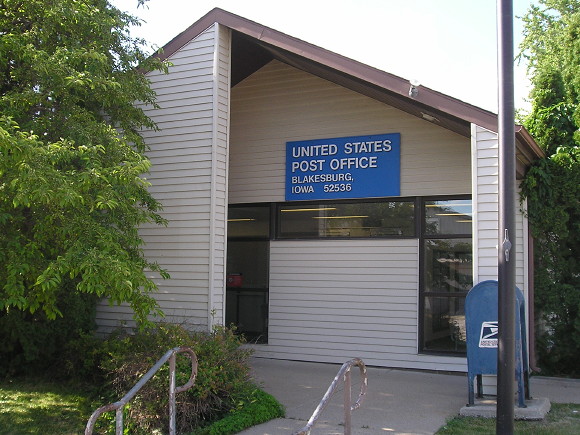
I wanted something that said "Blakesburg" for the page, besides the fading sign a few shots up. (6/18/18)
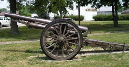
This restored cannon is in the southeast corner of the Main/State intersection. If you prefer aerial to artillery, the Airpower Museum, with antique and homebuilt planes, is a few miles east of town. (The Iowa Navy, meanwhile, is way over in Okoboji.) (7/11/05)
Last seen: 1980 (1981 map)

Page created 11/27/05; last updated 8/26/07 5/7/20