
(January 8, 1931-December 15, 1980)
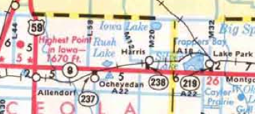
Old NORTH End: A18/Ave. B, Lake Park, Dickinson County
Facing north on 219 (8/22/19)
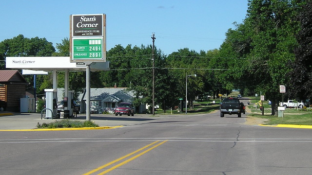
When I went to Lake Park in 2004, I asked the people at City Hall for help in pinpointing 219's old north end. They believed it was here, at the north end of the business district; Michael Ehret confirmed it. This was the endpoint for most of 219's life, and it only took me three visits to get a photo. ;-)
Facing south on 219 (8/22/19)
This picture looks south at what would have been 219's first block except for in its last two years. The final route log gives a distance that is shorter than the distance from this point to IA 9, indicating that the north end may have changed, and that turned out to be the case.
NORTH End: Near Railroad Avenue, Lake Park, Dickinson County
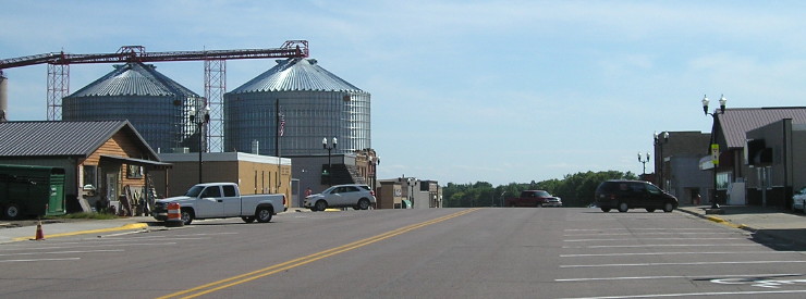
Facing north on 219 (8/22/19)
In 1978, the north end was moved southward to the CRI&P railroad tracks on the south side of the business district. In 2009, the railroad line was abandoned between Allendorf and Superior, but the rails-to-trails plan took a detour into court to resolve some claims. There's no railroad here now, but you get a nice view of Lake Park's two-block business district. The gas station two photos up is peeking out of the center.
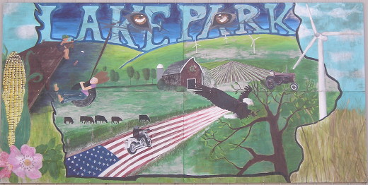
Mural in downtown (8/22/19)
SOUTH End: Stop sign, IA 9 and M27, Dickinson County
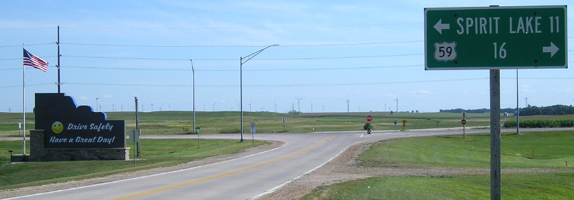
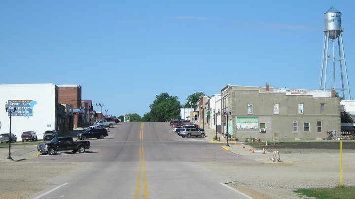
Facing south on 219 (8/22/19)
This LGS includes two destinations actually on 9, instead of towns that aren't on the route.
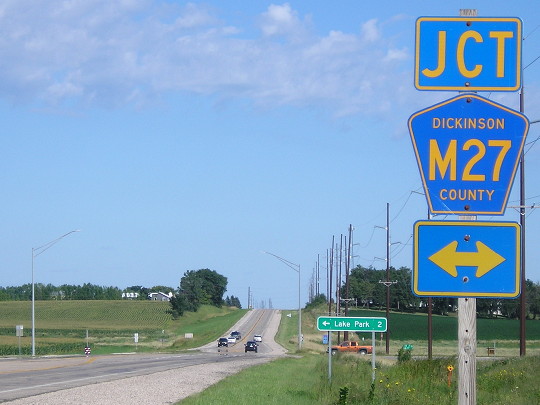
Facing east on 9 (8/22/19)

Facing east on 9 (8/22/19)
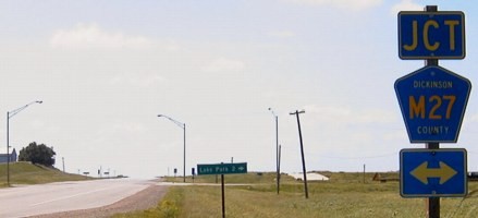
Facing west on 9 (6/15/04)
In the background across the road you can see new development. Lake Park is benefiting from the booming population in the Iowa Great Lakes area and is steadily creeping south toward IA 9.
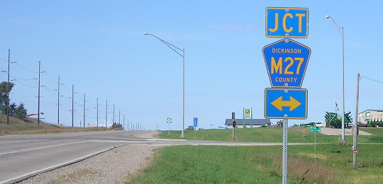
Facing west on 9 (9/30/15)
There's now an implement dealer at the intersection and the junction sign has moved to between the LGS and the intersection. Lake Park's city limits now extend down to IA 9 on the west side of M27 and around the south side of the lake.
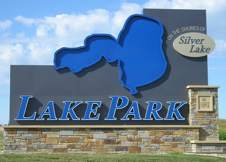
And now there's a very big, very elaborate, and presumably very expensive welcome sign. (8/22/19)
Last seen: 1980 (1981 map)
Because IA 219 was decommissioned so late in calendar 1980, that is why it was on the 1981 map. On the other hand, the map also has IA 86 replacing IA 32, which according to research didn't happen until the winter.
Page created 8/23/04; last updated 12/13/16