
| IA 22 (II) endpoint history | |||
| FROM | TO | WEST | EAST |
| 10/16/26 | 7/8/31 | US 61 (Park Ave at Washington St, Muscatine) | US 61 (Ricker Hill Rd at Rockingham Rd, Davenport) |
| 7/8/31 | 10/23/58 | IA 85, later IA 21 | |
| 10/23/58 | Present | US 61 | |
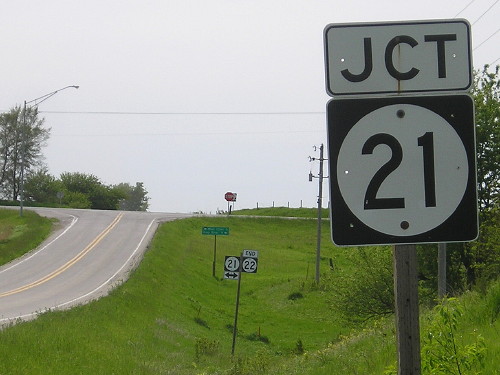
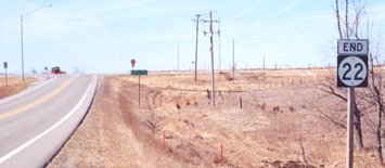
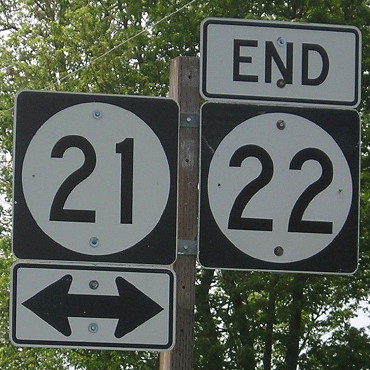
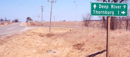
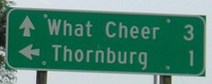
WEST End: Stop sign, IA 21, Keokuk County
Facing west on 22 (5/19/15)
Facing west on 22 (3/10/02)
Photo by Jason Hancock
Facing west on 22 (5/19/15)
Facing west on 22 (7/8/05)
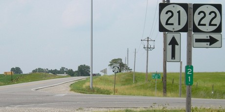
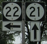
Facing north on 21 (3/10/02)
Photos by Jason Hancock
Facing north on 21 (7/8/05)
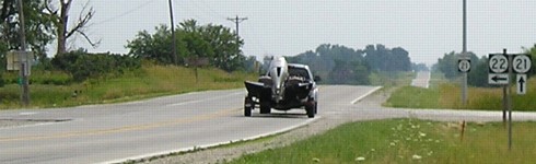
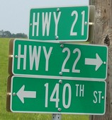
Highway 21 meets 22 at Mile 21 and then intersects Highway 20 at its north end.
Facing south on 21 (7/8/05)
Facing south on 21 (7/8/05)
Northeast corner of intersection (7/8/05)
"No, I'm from Iowa. I only work in outer space."
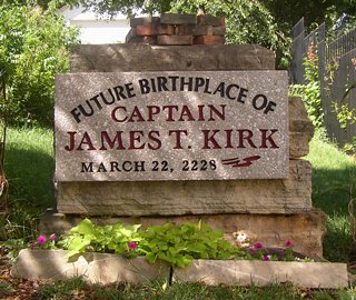
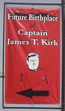
Highway 22 goes through Riverside, which every Trekkie knows will be the hometown of James T. Kirk, the captain of the Starship Enterprise. The marker is hidden behind a building. The red banner, hanging on a streetlight, is what's visible from Highway 22. (8/14/05)
In the 2009 Star Trek reboot, Kirk is born during evacuation of the USS Kelvin in 2233. However, he still spends his youth in Iowa, and scenes take place there. There's even a "Riverside shipyard." Given the presence of so many cadets and so significant a facility, I would suggest the following: 1) Iowa's landscape and population distribution (or political influence!) made it an ideal place to construct starships and create the occasional open-face limestone chasm, and 2) the University of Iowa, a short distance to the north, became a branch of Starfleet Academy. (Why ELSE would there be a bunch of cadets at a hole-in-the-wall bar?)
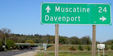
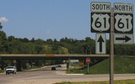
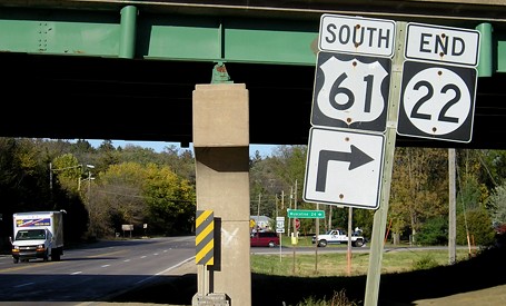
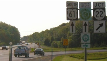
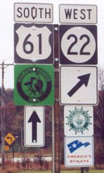
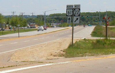
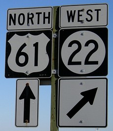
EAST End: Interchange, Business US 61/River Dr., Davenport, Scott County
Facing northeast, but heading east, on 22 (10/13/06)
Facing northeast, but heading east, on 22 (5/25/03)
These pictures were taken before US 61 was rerouted onto I-280 and I-80, making IA 22 the only state highway to end at a business route.
Facing northeast, but heading east, on 22 (bottom center of above picture) (10/13/06)
Facing northwest(!), but heading south, on 61 (5/25/03 and 11/2/03)
Right photo by Jason Hancock
Yes, facing northwest. US 61 is generally east-west between Muscatine and downtown Davenport.
LGS before above picture (5/25/03)
This may be the only full highway-and-highway interchange in Iowa that does not have BGSs in any direction.
Facing southeast, but heading north, on 61 (10/13/06)
Facing southeast-ish on 61 / Closeup (5/25/03 and 10/13/06)
The ramp in the immediate foreground is for NB 61 to 22, where traffic stops and can either turn left on 22 or right on Rockingham Road.
Points of interest:
While the number 22 has been in continuous use since 1926, there's only one tiny segment of the original route that carries that number today - but hasn't continuously carried the number. That segment is on Park Avenue from the junction of US 61 and IA 38 on the north side of Muscatine to the junction of IA 38 and IA 22 at Washington Street in Muscatine. Between 1926 and 1957, a traveler going north on that road would have been going EAST on 22, but since 1986 going north means going WEST on 22 as 22 goes to join the Muscatine bypass.
As you go east on 22, the population increases somewhat steadily. The combined population of all the towns on 22 west of Wellman, 782, only equals about 56% of Wellman's population (1393), and the combined population of all the towns west of Muscatine, 5770, is almost exactly 25% of Muscatine's population (22697).
Page created 12/16/01; last updated 6/18/09 10/4/23 (table)