
(January 8, 1931-July 1, 2003)
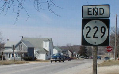
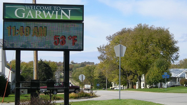
Old WEST End (May 1, 1940-November 13, 1974): Front St., Garwin, Tama County
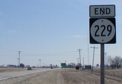
Facing west on 229 (7/29/04)
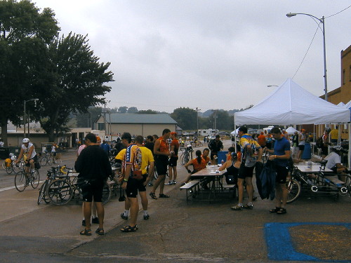
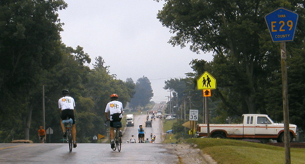
Although the 1931 and 2003 ends are identical, for most of the highway's life the route had two more blocks to go through downtown Garwin. Until 2019, I didn't have any shots from a regular day, so here's what it looked like as a rainy RAGBRAI breakfast was winding down.
Facing west on 229 (10/23/19)
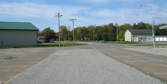
Here's a less crowded view.
Facing east on 229 (10/23/19)
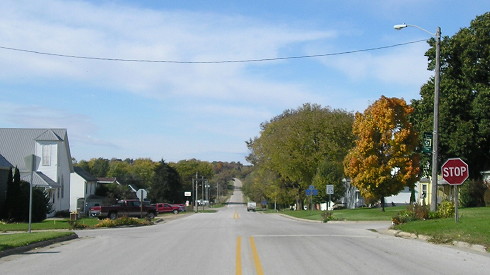
The concrete is the travel lanes. The blacktop on either side and in the middle is for parking. The westernmost two blocks (ahead and to the left/north) were dropped after a project in 1975,making it one of the very few routes to have its city endpoint changed in the 1970s.
WEST End: 4-way stop, 3rd St., Garwin, Tama County
Facing west on 229 (3/23/02)
Highway 229 was Tama County's only remaining spur after 318 (Clutier) and 171 (Elberon) fell victim to the First Great Decommissioning.
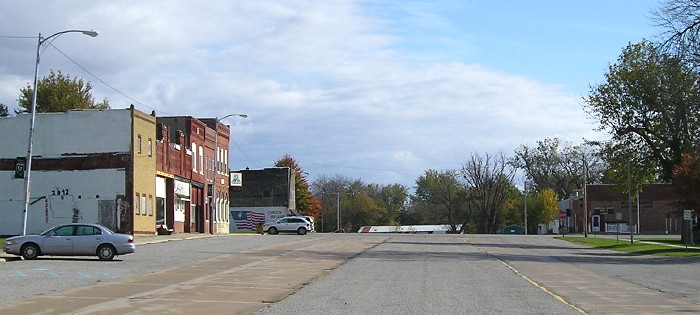
Facing west on 229 (10/23/19)
Facing west on 229 (10/23/19)
Here is a slightly different view of the same position. Detail about the "Jct E27/T47" at right is two pictures down.
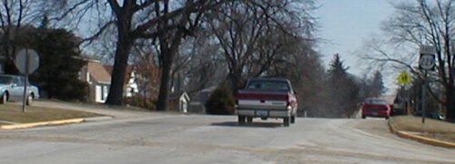
Facing east on Center Street (3/23/02)
The pickup truck has just started on 229. This part of the street, for another two blocks behind this picture, isn't actually part of a county road; see below.
Facing east on 229, 13 months after decommissioning (7/29/04)
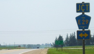
Nearby signage
Facing northwest, 0.15 mile west of 229's end (11/8/09)
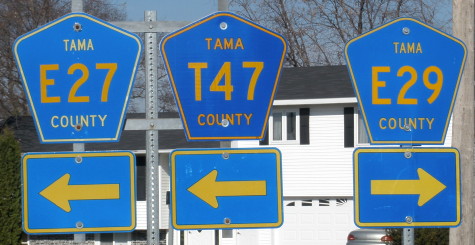
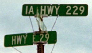
County Road T47 comes from the south, turns east just before entering the city limits, and then turns back northwest along a road that would have run beside the railroad tracks. Since E27 didn't go east from here, the left looked the same before 2003 with the E29 shield added later.
Facing east on 229 (3/23/02)
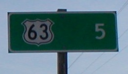
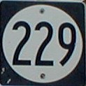
Like many state highways not ending in a town, a mileage sign with a highway shield is on the edge of town.
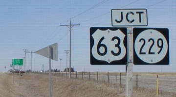
EAST End: Stop sign, US 63 and E29, Tama County
Facing east on 229 (3/23/02)
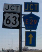
LGS in above picture / Junction sign before end sign (3/23/02)
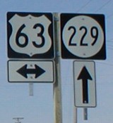
Facing north on 63 / LGS at bottom of left picture (3/23/02)
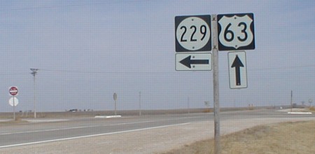
Facing north on 63 (3/23/02)
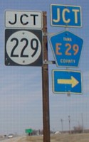
Facing west on E29 (3/23/02)
LGS in above picture / Final sign on E29 (3/23/02)
All of these signs on E29 were erected July 2001, if I remember correctly. Tama County varies in using capital letters and lowercase letters in their LGSs; in fact, I believe it uses more of the latter. The double arrow under the 63 is shorter than standard.
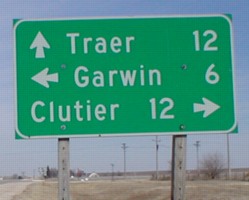
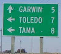
Facing south on 63, post-decommissioning (7/9/05)
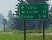
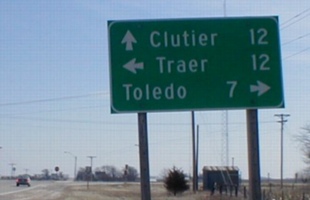
This LGS points to three different school districts - Toledo (South Tama), Clutier (North Tama), and Garwin (Green Mountain-Garwin). (7/9/05)
Rural sign at intersection (6/29/03)
This is the original sign placed when Tama County adopted an E911 system in the early 1990s. In 2003 and 2004 all the signs in the county were replaced with larger signs identical to ones used in many other counties. The one bad thing is that they all now have a hyphen in the county road name (e.g. "E-29"). The new rural signs make no mention of 229.
One of these things is not like the others...


...one of these things just doesn't belong. From left, these shields are in South Dakota, Iowa, and Missouri. North Dakota has no 3dis related to I-29 and didn't go that far up in state highways. There is a stark contrast, to say the least, between Iowa's 229 and the others.
(6/26/06 and 3/23/02 and 8/9/06)
Last seen: 2003
Page created 5/9/02; last updated 5/8/20