
(July 16, 1997-present)
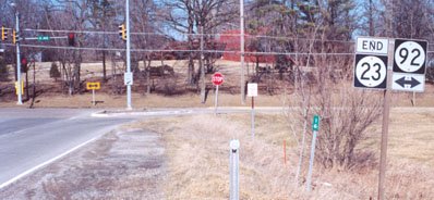
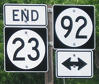
NORTH End: Stoplight, IA 92/A Ave., Oskaloosa, Mahaska County
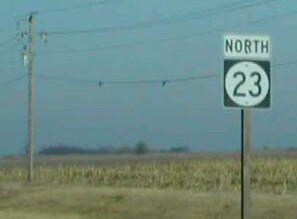
Facing north on 23 (10/29/04)
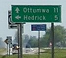
Hey, an LGS on a city's outskirts that doesn't list that city!
Facing north on 23 (3/16/02 and 7/18/20)
Left photo by Jason Hancock
When US 63 was rerouted between Oskaloosa and Ottumwa in 1997, 23 was removed from its Eddyville-Ottumwa route and placed on most of what was 63, except for south of the intersection with IA 149, which 149 took over. Incidentally, this was the northernmost stretch of 63's original route, when it went to Des Moines. (In addition, the reroute put every LGS mentioning Ottumwa north of here four miles off!) If the mile markers are correct (and didn't just get their numbers replaced), 23 is practically exactly 16 miles long.
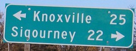
Facing west on 92 (3/16/02)
Photo by Jason Hancock
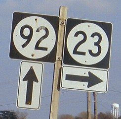
This LGS certainly would (should?) not date back to when the road was 63; I would think the sign was for Ottumwa here then. (Then again, given the diagonal nature of old 63, Ottumwa might be noted at IA 21 when going west on 92.)
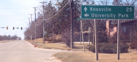
Facing east on 92 (10/29/04)
This LGS is post-63, and does not list Ottumwa, probably because travelers were directed south on IA 163 on the other side of town.
Facing east on 92 (10/29/04)
SOUTH End: T intersection, IA 149, Mahaska/Keokuk county line
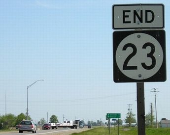
Facing south on 23 (5/10/05)
Facing south on 23 (5/10/05)
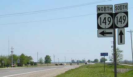
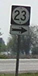
Prior to 1997, the right 149 shield would be 63. That is probably why this assembly includes north and south.
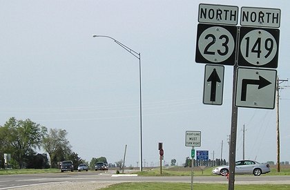
Facing west, but heading south, on 149 (1/20/02)
Photo by Neil Bratney
Highway 149 used to end here, but now continues south to Ottumwa. Turn right at the stop sign to start on 23. The arrow sign was technically correct, and later fixed.
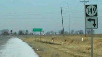
Facing west, but heading south, on 149 (7/15/19)
Facing west, but heading south, on 149 (5/10/05)
Instead of 23 replacing the entire old route of 63, 149 was extended southward from its intersection.
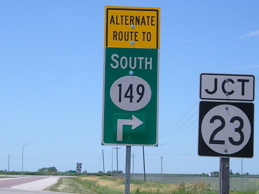
Facing west, but heading south, on 149 (7/15/19 and 5/10/05)
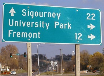
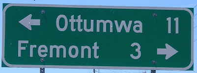
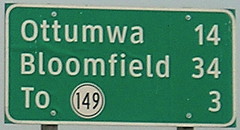
In keeping with rules for LGSs on state highways, the signs at Fremont and Cedar have changed. For Cedar, the only destinations listed southbound are Fremont and 149. Leaving Fremont to the south, the LGS still lists Ottumwa and Bloomfield but now has "149 3" tacked on to one leg.
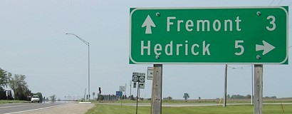
Facing north on 149 (5/10/05)
And with the other LGS changes, we get Fremont (pop. 704, and obviously not in Fremont County) instead of Oskaloosa.
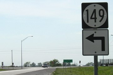
Facing north on 149 (5/10/05)
Besides the ahead-and-right that should be a plain arrow, there's a more interesting part of this picture. Despite being approximately 7 miles north of the 63/149 interchange, mile marker 12 is at the intersection. Kyle Johnson noticed this first. This would track back to about the west intersection of US 63 and US 34 in Ottumwa, indicating that the DOT planned to extend 149 southward once the 63 bypass to the east of the city was done instead of turning that segment over to the city - which it did. This created a single number connecting Ottumwa and I-80 to the northeast.
Facing north on 23 (1/20/02)
Photo by Neil Bratney
Since 23 straddles the county line for its last two miles, the "End" picture is in Mahaska County, and the "North" picture is in Keokuk County, but there are no county signs at the intersection.
IA 23's polarity problem (again)
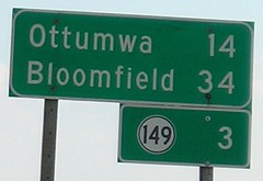
Facing south on 23 (10/21/05 and 7/18/20)
This sign, leaving Fremont, is the old US 63 sign with 23's end, 149, added underneath (and replaced that way!) - and thus, a problem. Because IA 149 replaced 63 south of that junction, the remaining piece of old 63 is about 9½ miles north-south and just over 11 miles east-west. The version of IA 23 from Eddyville to Ottumwa had the same problem, with more east-west distance than north-south. As I say for IA 137, despite the creation of such an oddity, 23 will likely remain signed as a north-south route.
Page created 3/22/02; last updated 2/5/10 10/28/20