
(March 17, 1931-April 3, 1987)
NORTH End: Stop sign/T intersection, E57, Templeton, Carroll County
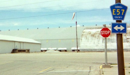
Facing north on 236
The existence of the E57 shield is itself a clue that this was the north end.
Along the route
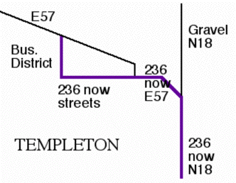
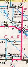
The discovery of Mile Marker 2 in the area marked "236 now streets" is how I figured out the old route. The topographic map shows it too.
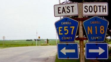
Facing east, but heading south, on 236
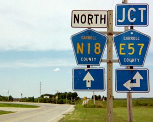
This is in the block marked above as "236 now E57". Since the spur was marked north-south, where did the state-standard "East" tag come from?
Facing north on 236
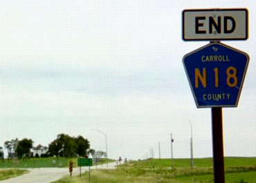
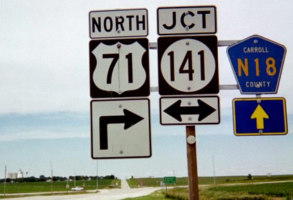
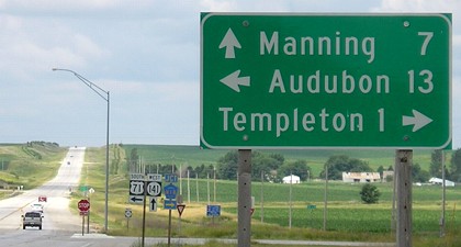
You can see the curve of the state highway going left. The paved route continues north for a fraction of a mile before E57 goes east again; N18 goes north as a gravel road.
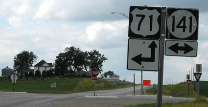
SOUTH End: 4-way stop, US 71 and IA 141, Carroll County
Facing south on 236
This sign has since been replaced with a "Stop Ahead."
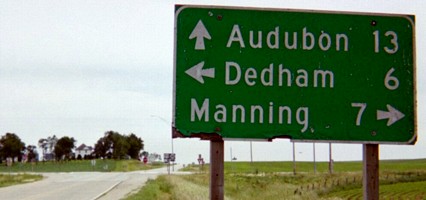
Facing south on 236
The "End" tag above and this LGS are leftover state signs.
Facing south on 236
Facing east on 141
It looks like the arrow at the bottom of the 71 set has been drawn on.
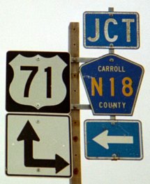
Facing north on 71
Facing north on 71
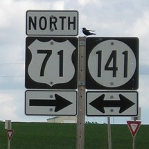
Facing north on 71
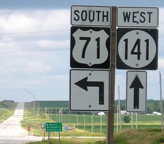
Facing west on 141, but heading south on 71
Facing west on 141, but heading south on 71
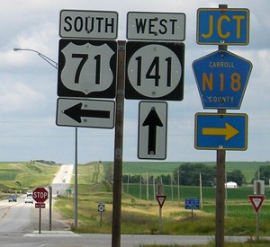
Facing west on 141, but heading south on 71
Last seen: 1987 (1986 map)
All pictures by me: First-fifth, seventh, and eighth, 6/29/03; sixth and ninth-thirteenth, 6/25/06
Page created 4/15/04; last updated 8/1/06