
(November 25, 1931-July 1, 2003)
NORTH End: Pine St., Winfield, Henry County
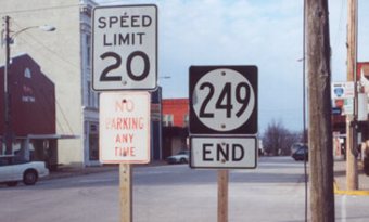
Facing north on 249 (January 2002)
Photo by Jason Hancock
This is the second-farthest east "bottom 'End'" sign on this site. Highway 249 was the last of 41 routes with new numbers created in 1931, even though IA 78 itself had been extended eastward a year earlier.
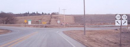
SOUTH End: Intersection, IA 78, Henry County
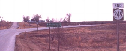
Facing south on 249 (January 2002)
Photo by Jason Hancock
This intersection is exactly like 363's west end, turned 90 degrees clockwise. In this case, the dominant curve is 78.
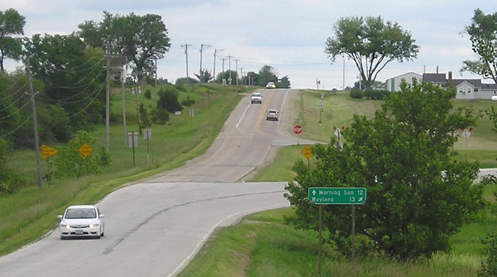
Facing south on 249 (6/1/15)
LGS reads ^ Morning Sun 12; Wayland 13 [diagonal right arrow].
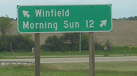
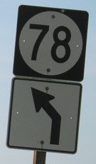
Facing east on 78 (6/1/15)
Facing east on 78 (January 2002)
Photo by Jason Hancock
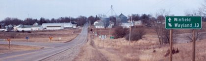
Facing north, but heading west, on 78 (6/16/06 and January 2002)
Right photo by Jason Hancock
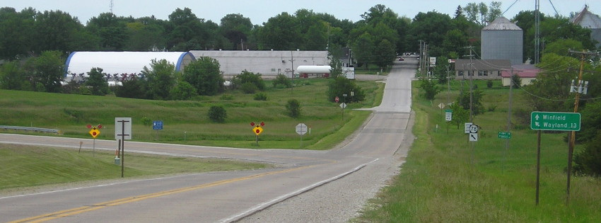
Facing north, but heading west, on 78 (6/1/15)
Now that 249 has been decommissioned, the 78 shield is alone on the pole, but still stops, probably a remainder from when 78 was a spur that ended in Winfield.
Last seen: 2003

Page created 5/14/02; last updated 4/7/16