
(June 4, 1935-July 1, 2003)
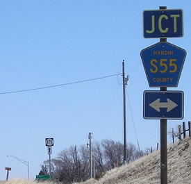
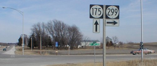
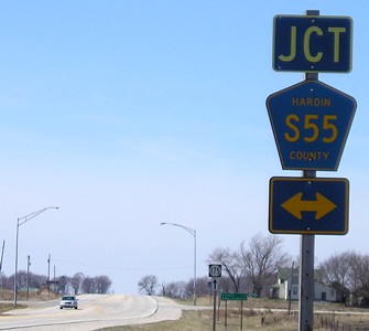
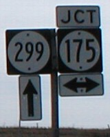
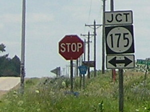
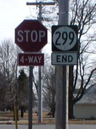
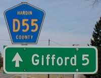
NORTH End: Stop sign, IA 175 and S55, Hardin County
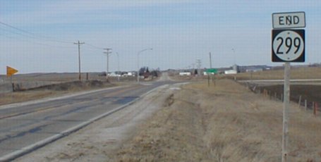
Facing north on 299 (3/23/02)
Facing north on 299 (7/7/15)
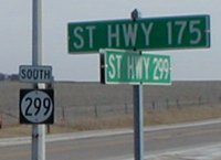
LGS in above picture / Rural sign and first 299 sign (3/23/02)
Same sign with a decade more of wear / Replaced rural sign (7/7/15)
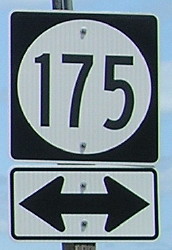
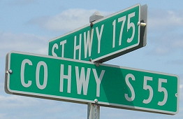
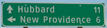
Facing east on 175 (4/4/06)
Facing east on 175 (4/4/06)
The bracket from the assembly below hasn't been removed in this post-decommissioning picture.
Clearview version (7/7/15)
Facing east on 175 (3/23/02)
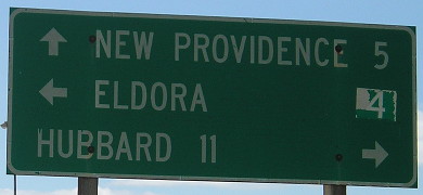
Facing west on 175 (4/4/06)
Facing west on 175 (7/7/15)
Facing south on S55 (3/23/02)

Facing south on S55 (7/7/15)
Facing south on S55 (7/7/15)
Facing south on S55 (7/7/15)
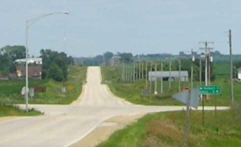
SOUTH End: 4-way stop, Main St./D55 and S57, New Providence, Hardin County
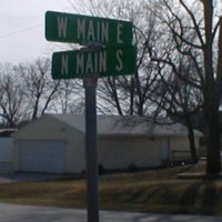
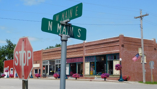
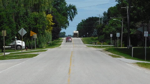
The intersection of Main and Main
Facing south on 299 / Facing southwest (3/23/02)
Notice the yellowish-white garage in the background of the left picture, which also shows up in the right one. But if I'm facing south in the left picture, and the street sign is at the southeast corner of the intersection...The "N" and "S" are reversed!
Facing northwest (7/7/15)
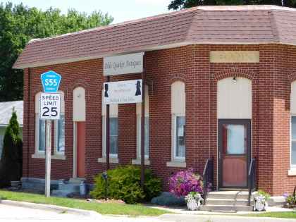
That's pretty much all of New Providence's business district.
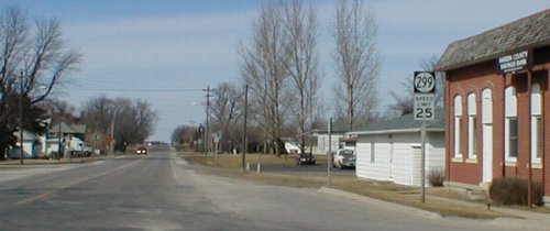
Facing north on 299 (3/23/02)
Facing north on 299 (7/7/15)
The building on the northeast corner of the Main and Main intersection was still a bank in 2002, but a decade-plus later was not.
Facing north on 299 (7/7/15)
Facing east on D55 (3/23/02)
This is just a block or so east of Main and Main. West of 299's end, S57 (although unsigned) goes west on Main for two blocks and then turns south. No county road signage was present at either end of 299 prior to decommissioning. The absence of signage for the D55 multiplex in what was 299's southernmost mile was not signed after decommissioning.
Last seen: 2003
Page created 5/8/02; last updated 4/20/16