
(June 4, 1935-July 1, 2003)
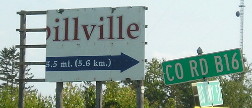
Old WEST End: Church St., Spillville, Winneshiek County
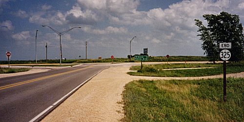
Facing north, but heading west, on 325 (9/12/17)
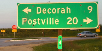
Traffic goes around the gazebo, which was being renovated at the time. W14 goes north, but is not signed. Turn around, go three blocks to the intersection of Main and Bridge, and see the following:
Facing west (9/12/17)
In order to stand in front of the LGS, you cannot be on the road. You're in a lot. Notice the sidewalk changing to accommodate Bridge heading east (behind the camera).
Closeup of LGS (9/12/17)
Facing east on Bridge Street (old 325) (7/14/02)
Photo by Jason Hancock
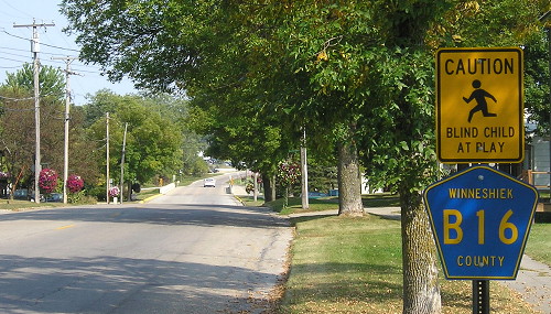
This intersection is the end Street Atlas gave me, but the 1980 route log and Google Maps give distances that result in the end being at the north junction of W14 and B16 (the gazebo photo), after going through downtown.
Facing east on 325 (9/12/17)
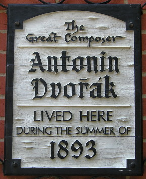
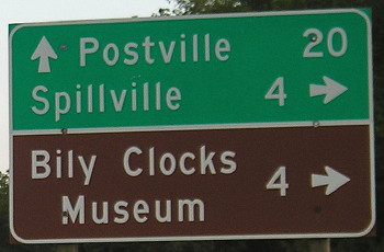
This qualifies Antonin Dvorak for honorary Iowa residency, and boy do we milk it! This is at the Bily Clocks Museum on Main. The many wood-carved clocks are on the first floor and there's a great exhibit on the second floor telling Dvorak's story. Here's a documentary from 1990 about his time in Spillville. (9/12/17)
As a true Czech, his name was pronounced di-VOHR-zhak, but Czech-descended Iowans go with duh-VOHR-ahk.
WEST End: City limits of Spillville, Winneshiek County
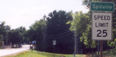
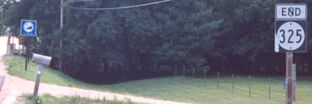
Facing west on 325 ("End" sign is in middle of top picture) (7/14/02)
Photos by Jason Hancock
Facing east on 325 (7/14/02)
Photo by Jason Hancock
Like many spurs, the LGS leaving town shows the shield of the highway it ends at. It was truncated to the city limits in 1980.
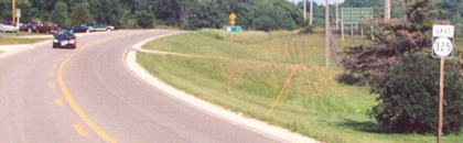
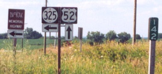
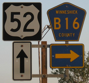
EAST End: Stop sign/T intersection, US 52, Winneshiek County
Facing east on 325 (7/14/02)
Photo by Jason Hancock
Facing east on 325 (Summer 2002)
Photo by Monte Castleman
Facing east on 325 (9/1/09)
Because the west end was moved in 1980, 325 wasn't exactly 4 miles long at decommissioning.
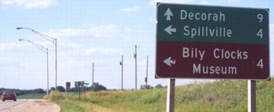
Facing north on 52 (7/14/02)
Photo by Jason Hancock
Facing north on 52 (7/14/02)
Photo by Jason Hancock
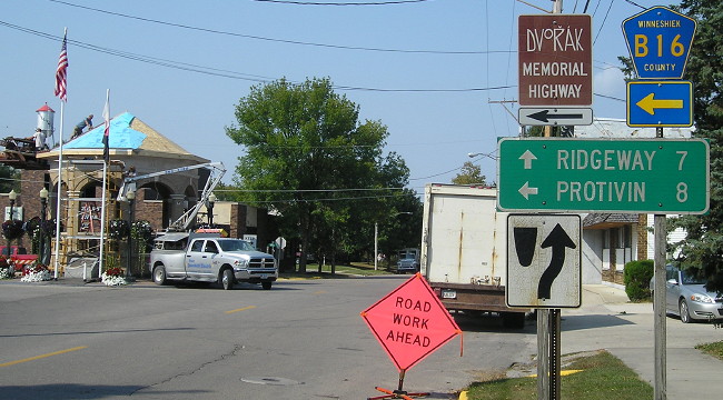
The brown sign at left is for the Dvorak Memorial Highway, in honor of Antonin Dvorak (see above). Notice the wooden pole for the mile marker, as opposed to the usual metal ones.
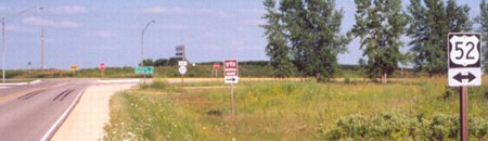
Facing south on 52 (9/1/09 and 9/12/17)
Facing south on 52 (9/1/09)
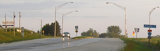
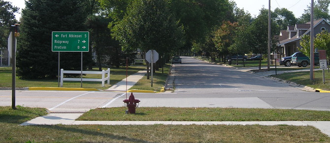
Wide view of intersection (9/1/09)
The intersection dates to the early 1950s, when 325 was straightened while being blacktopped. Previously, it ended half a mile north, after taking a hitch to the extinct village of Conover. In 2012, many of the light poles were removed and the grassy islands taken out in favor of an asphalt pave-over.
Facing south on 52 (9/12/17)
Seeing a falling-apart sign can make one sick.
Last seen: 2003

Page created 11/23/02; last updated 1/7/18