
(November 22, 1938-July 1, 2003)
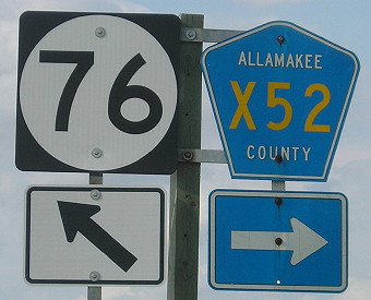
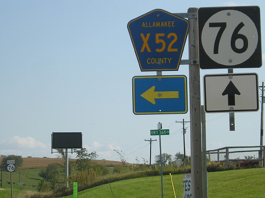
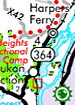
NORTH End: 4-way stop Bridge on X52 near B25, Harpers Ferry, Allamakee County
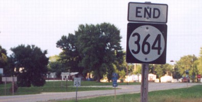
Facing north on 364 (7/28/02)
Photo by Jason Hancock
I assumed that 364 actually ended at the stop sign in the distance, but I was wrong. Until 1982, the road went about half a mile more into town, ending on Chestnut Street at 3rd Street (I guessed it was 2nd). Then, in the 1983 route long, 364 was pulled back not exactly to the city limits, but .08 mile into them. However, documentation put online in the mid-2010s showed that the north end was technically truncated on July 7, 1980, to the bridge between the X52/B25 intersection and the city limits. The 1984 route log was the first to match the distance reflected for the rest of 364's life. There aren't any noticeable pavement changes in the area, though.
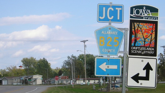
Facing north on X52 (9/28/15)
Facing north on X52, north side of the intersection (9/28/15)
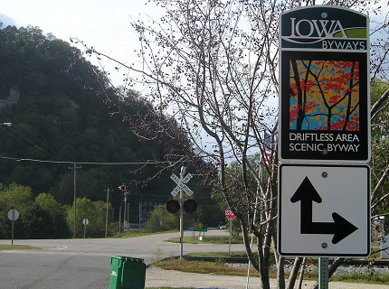
Facing south on X52/start of 364 (9/28/15)
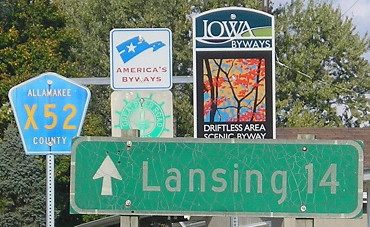
Facing northwest on Chestnut Street (9/28/15)
Facing northwest on B25
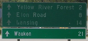
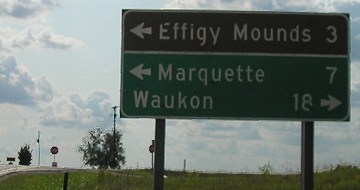
Allamakee County has signs at multiple intersections directing to Elon Road, which is County Road A52 between Waukon and X42 (and it's actually Elon Drive).
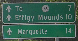
SOUTH End: Stop sign, IA 76, Allamakee County
Facing southwest, but heading south, on 364 (7/28/02 and 9/7/06)
Left photo by Jason Hancock
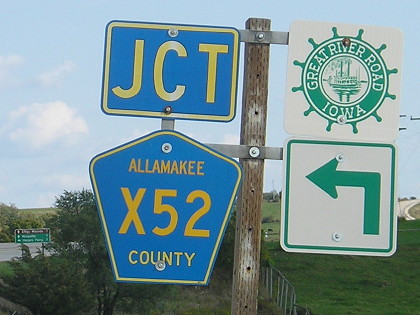
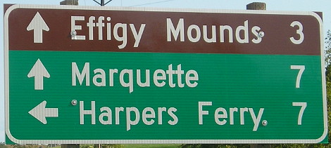
The sign underneath is for the Great River Road; 364 runs along the Mississippi for a good chunk of its length.
LGS in background of above pictures (9/7/06)
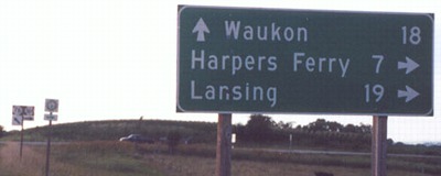
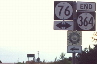
Facing northwest, but heading north, on 76 (7/28/02)
Photo by Jason Hancock
Four years later, Clearview crept into this intersection:
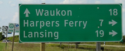
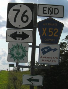
Facing northwest, but heading north, on 76 (9/7/06)
Facing northwest, but heading north, on 76 (9/28/15)
The south end of 364 bears the distinction of potentially being one of the first intersections to have Clearview signs replaced with the replacement Highway Gothic. Compare this to two photos up, which was the classic Iowa sign font. The strokes are thicker than they used to be (check the "W") and some letters are different widths (check the "ns" in Lansing).
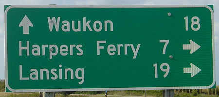
Facing northwest, but heading north, on 76 (9/28/15)
This sign replacement also shows the new-style (post-ca. mid-2014) Iowa route shields and FHWA arrows that delete the thin white border around the square, use more Series C numerals (this is inconsistent), and change all arrows to rectangles rather than squares.
Facing southeast, but heading south, on 76 (9/28/15)
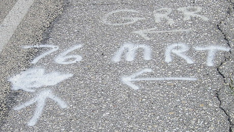
At the time of my circumnavigation tour, the sign replacement project throughout much of northeast Iowa was so new that markings were still spray-painted on the road.
Facing southeast, but heading south, on 76 (9/28/15)
Facing southeast, but heading south, on 76 (9/7/06 and 9/28/15)
The mileage sign on 364 itself wasn't replaced in either round because that's no longer under state jurisdiction.
Facing southeast, but heading south, on 76 (9/28/15)
New to the intersection is a small dynamic message sign, in a surprising location based on the (lack of) importance of the intersection and (lack of) traffic on IA 76 compared to other highways. Perhaps it's set up to warn bootleggers when Prairie du Chien is out of New Glarus.
Also note the "Hwy 364 Rd" rural street sign directly underneath the X52 shield.
Last seen: 2003
Page created 1/17/03; last updated 12/13/16