
(1971-July 16, 1997)
WEST End: Ottumwa Airport, Wapello County
Facing north, but heading west, on 389 (3/16/02)
Photo by Jason Hancock
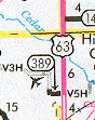
Just before it ends, 389 turns north and then diagonal county road V3H goes from there. Jason saw no signage along the old highway, so we're not sure whether the road is V3H or V5H, which is at the east end (see map at bottom). To the southwest is an interchange with the new US 63, which runs about 3/8 of a mile to the south of old 389.
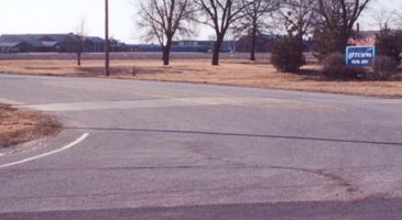
Facing northeast (airport entrance) (3/16/02)
Photo by Jason Hancock
What is now the Ottumwa airport has had a spur since 1942, but the original number, 380, was reappropriated for the spur interstate to Waterloo. IA 380 originally was created to serve, of all things, a Naval Air Station. (Make your own joke about Navy bases in Iowa here.)
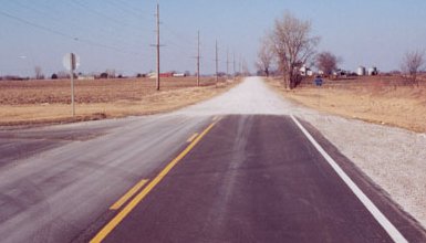
EAST End: Stop sign, US 63 (now IA 149) and V5H, Wapello County
Facing east on 389 (11/19/07)
Facing east on 389 (3/16/02)
Photo by Jason Hancock
With these two pictures, you can see that the road was paved and signs updated before it was turned over.
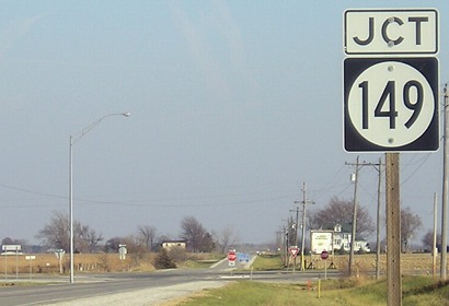
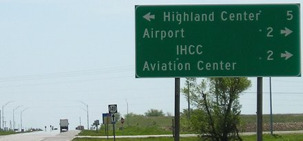
Facing north on 63, now 149 (3/16/02)
Photo by Jason Hancock
In 389's day (that is, before 1997), this was 63. This is where the 4-lane starts, but 149 only has a little of it before the road becomes 63 again.
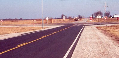
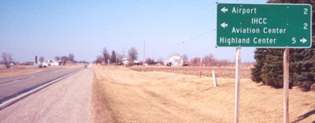
Facing south on 63, now 149 (5/10/05)
This has the same information as above, but this picture shows how close it is to the interchange. The hill behind the LGS is actually the raised roadbed of 63 approaching 149; bridges now cross 149 there (below). "IHCC" is Indian Hills Community College.
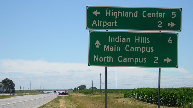
Facing south on 63, now 149 (7/15/19)
Last seen: 1997
Page created 5/15/02; last updated 1/27/08 3/18/20