
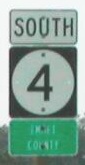
NORTH End: Minnesota state line, 4 miles south of Dunnell MN (8 miles N of Estherville), Emmet County IA/Martin County MN
Facing west on 90 in Minnesota, 13 miles north of the state line (9/8/06)
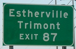
After a short piece on old US 16, MN 4 intersects I-90. Highway 4 continues north to I-94 about 35 miles west of St. Cloud. Estherville is closer to I-90 (21 miles) than Ames is to I-80 (25 miles).
Facing north on 4 (9/8/06)
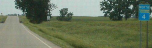
Facing north on 4 (6/18/02)
Photo by Neil Bratney
Photos by Neil Bratney (6/18/02)
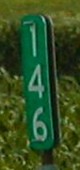
Mile marker 146 is on the line; the first sign south is visible in the background of the below picture.

Facing south on 4 (6/18/02)
Photo by Neil Bratney
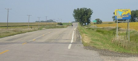
The elevator in the background is part of the unincorporated town of Huntington. A mile south of the border, 4 turns west for a mile and a half before going to Estherville.
Incoming!
This marker is five and a half miles south of the state line. (9/8/06)
Surrounding area information: Junction IA 9
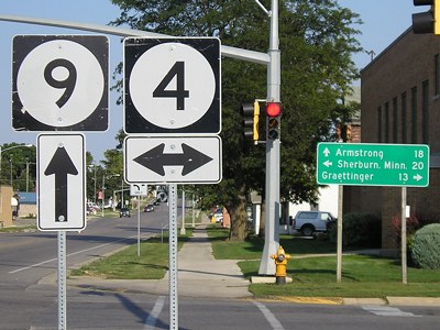
Facing east on 9 (9/8/06)
There are only six intersections of single-digit highways in Iowa: IA 1/IA 2, IA 1/US 6, IA 2/IA 5, IA 3/IA 4, IA 4/IA 7, and IA 4/IA 9.
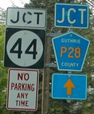
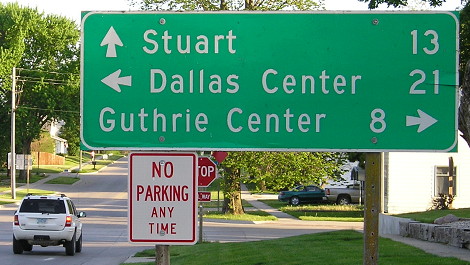
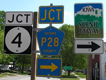
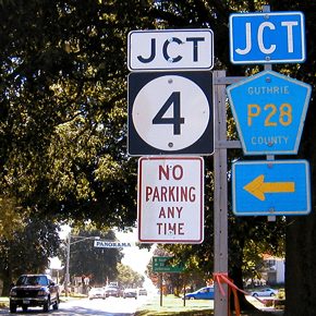
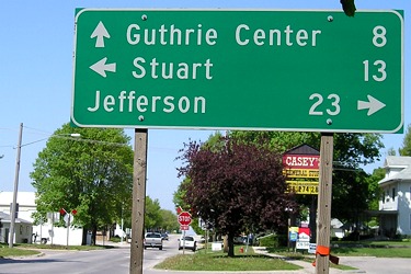
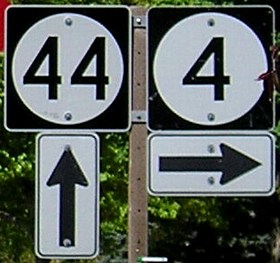
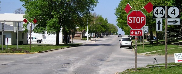
SOUTH End: 4-way stop, IA 44 and P28, Panora, Guthrie County
Facing south on 4 (5/12/02)
Photo by Neil Bratney
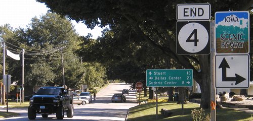
Facing south on 4 (8/6/04)
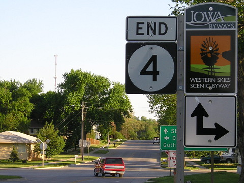
Facing south on 4 with updated Scenic Byway sign (5/22/14)
Facing south on 4 (5/22/14)
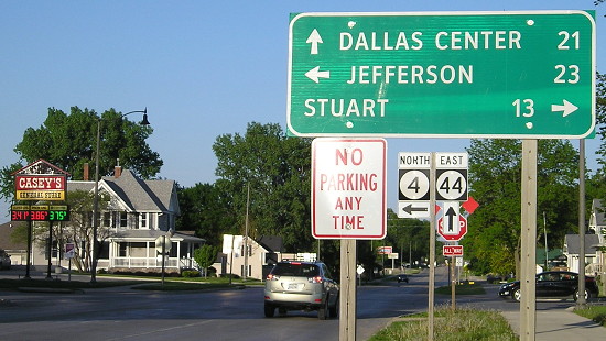
Facing east on 44 (5/7/06)
Facing east on 44 (5/7/06)
Facing east on 44 (5/22/14)
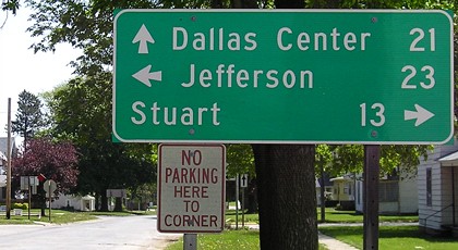
A very limited number of all-caps Clearview mileage signs were produced in Iowa in circa 2007.
Facing east on 44 (5/7/06)
Facing east on 44 (5/22/14)
Facing west on 44 (8/6/04)
Facing west on 44 (5/7/06)
Facing west on 44 (wide view) (5/7/06)
Facing north on P28 (8/6/04)
Facing north on P28 (5/22/14)
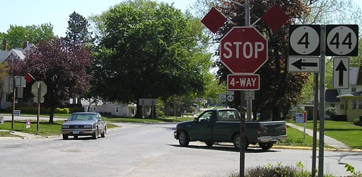
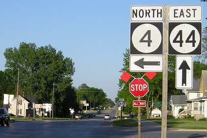
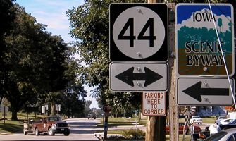
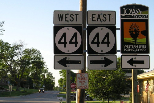
Now we have two signs for IA 44...but none for IA 4 going straight ahead.
Page created 10/13/02; last updated 1/6/15