
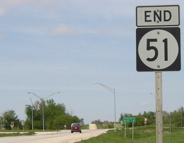
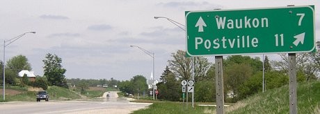
NORTH End: Stop sign, IA 9, Allamakee County
Facing north on 51 (5/19/04)
Facing north on 51 (5/19/04)
Facing west on 9 (5/19/04)
Facing west on 9 (5/19/04)
Facing east on 9 (5/19/04)
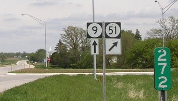
Facing east on 9 (5/19/04)
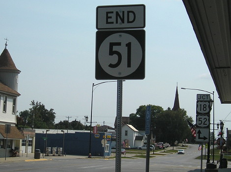
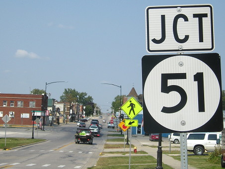
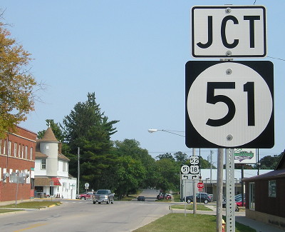
SOUTH End: 4-way stop, US 18/US 52/Tilden St., Postville, Allamakee County
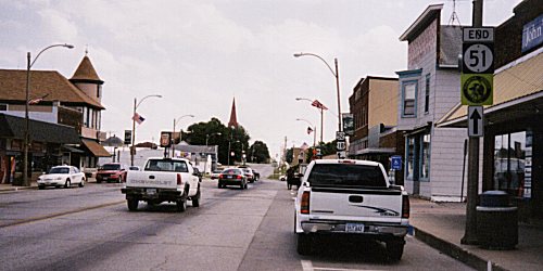
Facing south on 51 (Summer 2002)
Photo by Monte Castleman
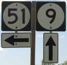
The assembly is somewhat strange, but what it means is that the Hiawatha Pioneer Trail continues ahead. US 18/52 go ahead and to the right. This intersection is 1/5 mile north of the Allamakee/Clayton county line. Only about the southernmost three miles are part of the original alignment of 51 (see bottom). Compare this to the below picture:
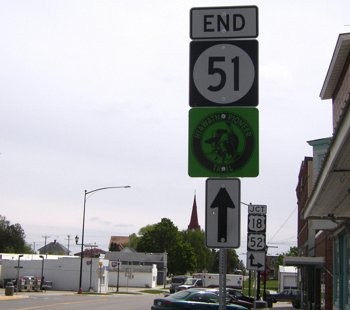
Facing south on 51 (5/19/04 and 9/12/17)
The light poles have been removed and all the signs at this intersection have been placed on metal poles (a widespread and IMHO misguided trend). Also, in the background, the US route shields got a "Jct" tacked on top, which is redundant because behind this photo is already a "Jct 18/52" sign. Finally, the parking has changed from parallel to angle.
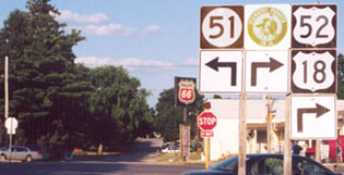
Facing north on 52, but heading west on 18 (9/12/17)
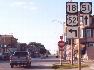
Facing north on 52, but heading west on 18 (7/14/02 and 9/12/17)
Left photo by Jason Hancock
This photo shows a bit of the downtown in the background and how it has changed. The Phillips 66 at right (OMG those gas prices) has closed.
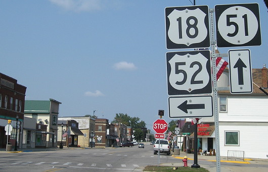
Facing east on 18, but heading south on 52 (9/12/17)
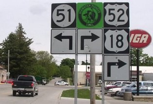
Facing east on 18, but heading south on 52 (7/14/02 and 5/19/04)
Left photo by Jason Hancock
Highways 18 and 52 join/separate a mile west of this intersection; 52 comes in from Winneshiek County while 18 comes up straddling the Fayette/Clayton line, angling for half a mile in the very northeastern tip of Clayton County, and then entering Allamakee to join up with 52 and leave it on Postville's east side. The highways spend just enough time in Allamakee County to intersect and serve Postville; 52 is 2.7 miles in the county, 18 is 2.2. Thus, US 18 enters Clayton County twice.
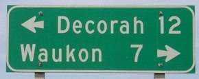
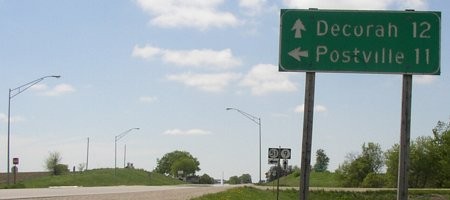
In both of the above pictures it would be more accurate for plain arrows, as the leg would indicate a change ahead instead of right there. This was changed in the northbound photo, but eastbound stayed the same.
Facing north on 51 (5/19/04)
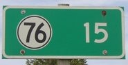
Before 1969, 51 followed county roads W4B and X16 to end at what was then IA 13 southeast of Waukon. But since that part of 13 became IA 76 on Jan. 1, 1969 - before 51 was realigned - why didn't a new sign indicate the road at 51's north end?
Page created 11/22/02; last updated 6/1/04 8/5/18