
(November 15, 2000-May 2003)
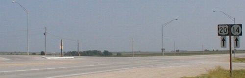
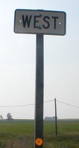
WEST End: Stop sign, IA 14/Old US 20, Grundy County
Facing west on 263 (7/15/07)
LGS at intersection (7/15/07)
This route was part of IA 57 when the numbering system began, then promoted to US highway status with the rerouting of 20 in 1986, and then sent into limbo with the completion of a new freeway segment in November 2000. Grundy County was to receive the road in May 2003, according to articles in the Waterloo Courier, and by late 2003 the road had been signed as D19. The sign set on the right used to have a double arrow under the 20, and never got a "To" added.
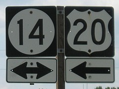
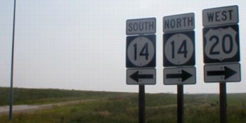
Facing north on 14, but heading west on 20 (6/24/02)
Facing south on 14, but heading east on 20 (6/24/02)
Facing south (6/24/02)
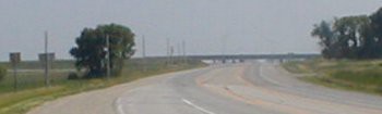
You can see the new freeway from the intersection. (This picture was taken before the rest area was built on the east side of 14.)
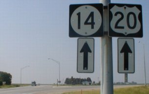
Facing north on 14 (7/15/07) / Facing south on 14 (6/3/14)
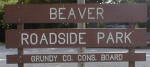
This park is just north of the intersection, near the southwest corner of Beaver Township. (6/24/02)
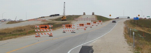
Surrounding area information: US 20/IA 14 interchange, June 24, 2002
Facing southwest-ish at offramp
These signs are at the bottom of the offramp; all 20 traffic is directed onto it. At left is the onramp to WB 20...
Facing west-ish
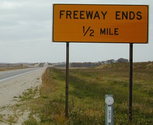
...but as you can see, it's not quite ready yet. The freeway segment that starts here and goes to US 65 opened 14 months after these pictures were taken.
Surrounding area information: US 20/IA 14 interchange, October 19, 2002
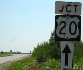
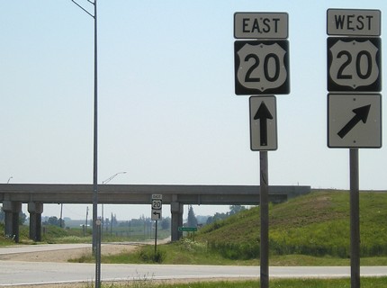
Facing west on 20 (MM 209.80); sign has since been removed/replaced with BGS for 14
Facing west on 20
Facing west-ish
This is the same ramp that was unfinished in June (see above).
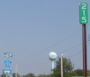
Along the route: Dike/Jct T55, June 24, 2002
Facing west on 263 / Facing east on 263
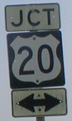
Well, at least we know what direction we're going. These are (were) the only signs like this.
Facing east on 263 / Facing south on T55
The mile markers placed for 20 still stand along the route. The "Jct" and double arrow are an older not-as-tall style, and T55 is actually slightly offset here because of the survey correction line across the state. The "Jct 20" at right is on T55; the top and bottom parts of the sign dated back to 1977, when the road was still 57.
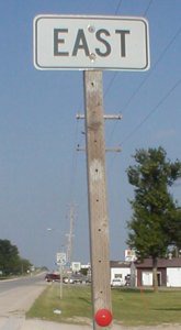
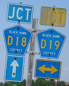
EAST End: Interchange, US 20, Black Hawk/Grundy county line
According to official maps, the small north-south portion straddling the county line is part of 263. Working to that point from the intersection, photos 7/25/07 unless noted:
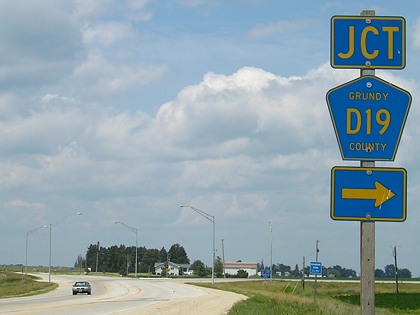
Facing east on 263, now D19
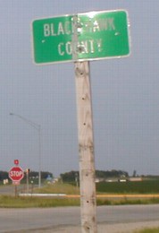
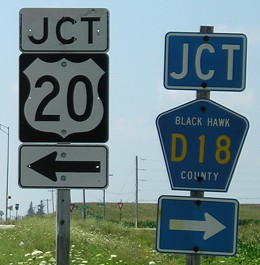
This is a big fat honking "little" green sign at the intersection. Put up in June 1990, it was still standing 17 years later - but compared to 2002, some noticeable fraying near the top has occurred.
Facing east / Facing north
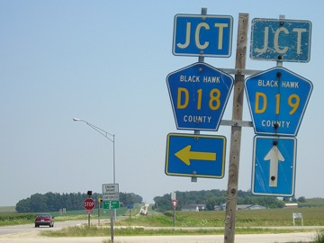
Technically, on the left picture, D18 now goes to the right as well to meet 20, but the "Jct" hasn't been removed northbound either.
Facing east on 263 / Facing west on 263 (6/24/02)
The sign on the left is visible to the right of the stop sign in the above picture. A "20 ->" assembly was underneath. On the right, just west of the intersection, this held "West 20". The Grundy now has a D19 shield underneath; the Black Hawk, an "Engine Brake Ordinance Enforced" sign above.
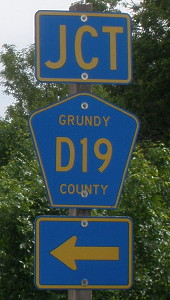
Facing south / Facing west
It's a bit strange, but accurate; the junction with 20 is now that-a-way.
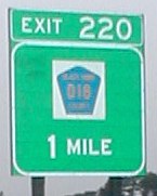
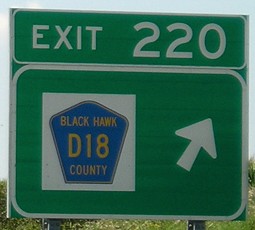
According to the BGSs along 20, the small north-south portion is D18, which makes sense as it continues north. However, all signs still indicate that this intersection is where D18 starts. This was not changed, possibly because of the small distance involved. Like the west end, the freeway 20 is visible from this intersection. Now we head there.
Facing south, but heading west, on 263, now D19
Facing south, but heading east, on 263 (6/24/02)
Facing north, but heading west, on 263 (2002)
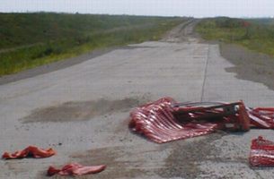
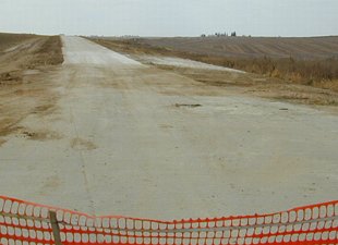
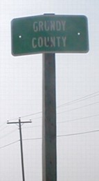
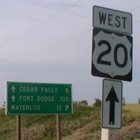
This sign is actually where the road is still gravel. Notice the Series D sign. The Fort Dodge mileage changed with the opening of new 20 west of here in 2003. As seen below, 22 miles have been shaved off.
Facing north, but heading west, on 263 (7/15/07)
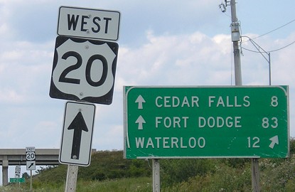
Facing west on 20 (6/27/02 and 7/25/07)
Eastbound, Cedar Falls is on the sign. Notice it's Black Hawk County D18.
There is indeed a portion of 263 considered to be in Black Hawk County, proven in Black Hawk County supervisors' minutes. The relevant portion of the transfer agreement is quoted below. This was approved by the supervisors Jan. 7, 2003.
"That portion of Iowa Highway 263 (former U.S. Highway 20) which lies within Black Hawk County and begins at the Grundy County line (at the NW corner Section 1, T-88N, R-15W) and extends easterly and southerly along the county line to the interchange with relocated U.S. 20, including the entire lighting system at the intersection of IA 263 and County Route D-19, a total of approximately 1.59 miles."
Page created 9/28/02; last updated 1/16/15