

- In 1920, they knew it as: A long-ish spur for two towns, Tripoli (1920 pop. 914, 2010 pop. 1313) and Sumner (1920 pop. 1511, 2020 pop. 2028)
- We know it as: The Bremer County portion of IA 93
- Related route: IA 267, a spur to Randalia created after 93 was extended east and later straightened
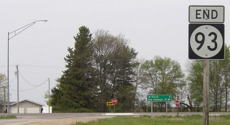
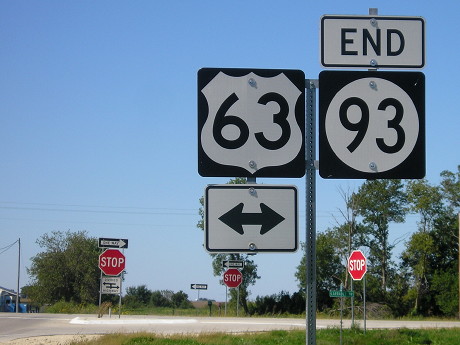
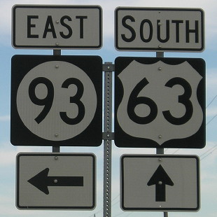
WEST End: Stop sign/T intersection, US 63, originally IA 59, Bremer County
Facing west on 93 (5/18/04)
The only thing that's changed for the west half of the route is northeast of the Wapsipinicon River, where it used Possum Avenue and 140th Street until paving in 1937.
Facing west on 93 (9/13/15)
Facing west on 93 (5/18/04)
Highway 93 ends south of where 188 ends at 63, but after 93 goes north from Tripoli its alignment is on the same 'line' as that of the east-west part of 188. There's not a straight connection between the two, though, because the Wapsipinicon River weaves around right near that "line".

Facing west on 93 (9/13/15)
Facing south on 63 (9/27/02)
Photo by Dennis Swanson
Facing north on 63 (5/18/04)
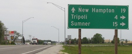
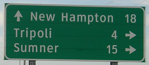
That's Tri-POHL-uh.
Facing north on 63 (8/4/15)
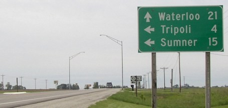
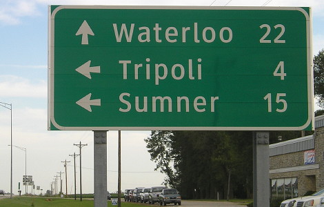
When US 63 was upgraded to four lanes north of Denver, new larger mileage signs were put up - with some changed distances.
Facing north on 63 (5/18/04)
Facing north on 63 (9/13/15)
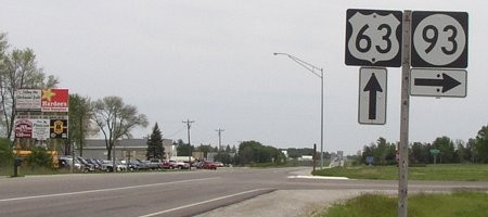
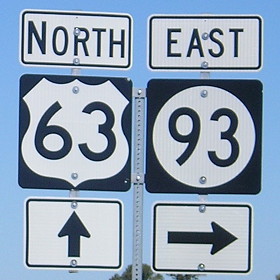
This is the new standard for signs at intersections: Metal poles, individual components spaced out, squat vertical arrows, no white outlines on the markers. I'm not a big fan.
Facing south on 63 (5/18/04)
Facing south on 63 (8/4/15)
Facing south on 63 (5/18/04)
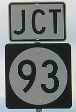
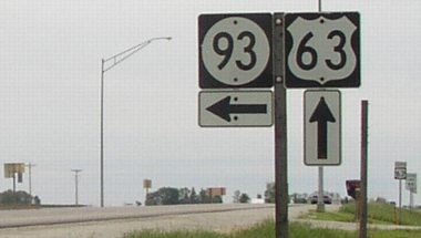
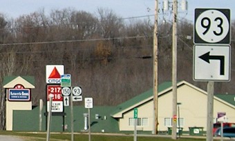
The 63 and double arrow seen on 93 are perpendicular to us to the right of the 63 shield.
Facing south on 63 (8/4/15)
1920 EAST End: Sumner, Bremer County
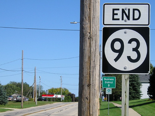
As a spur, 93 first would have ended at the west city limits of Sumner. Carpenter Street is the downtown intersection.
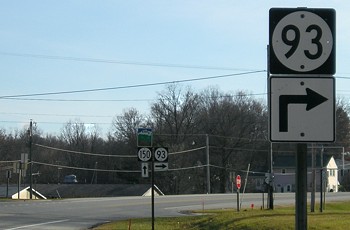
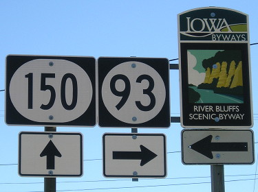
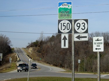
EAST End: Stop sign, IA 150 and C24, Fayette, Fayette County
Facing east on 93 (9/26/16)
Facing east on 93 (9/26/16)
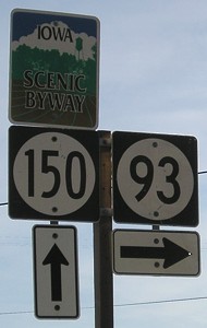
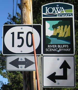
Facing south on 150 (11/20/06)
Facing south on 150 (9/26/16)
Facing north on 150 (11/20/06 and 9/26/16)
Facing north on 150 (11/20/06)
Usually a road going left is on the left side. The sign at right is for Old Mission Road.
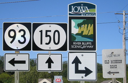
Facing north on 150 (9/26/16)
Surrounding area information: Old IA 150
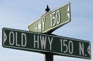
Originally, 93 continued 0.35 miles east to meet 150 (Water Street at Main Street) when the latter went through Fayette. Highway 150 was rerouted around Fayette sometime in the early 1970s; the south part is a black line (secret 981) on the 1974 map. North of IA 93, this city sign marks the split between routes. (11/20/06)
Page created 11/22/02; last updated 4/6/20