
WEST End: Stop sign/T intersection, IA 14, Marshall County
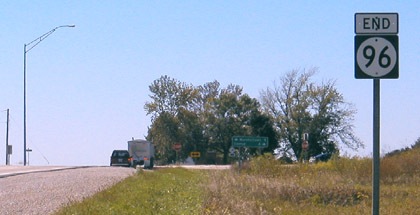
Facing west on 96 (9/7/04 and 10/23/19)
Old maps appear to indicate that when 96 was originally extended to 14, the intersection was a mile south of here.
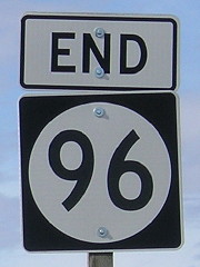
LGS in above picture (7/15/07)
Facing south on 14 (7/15/07)
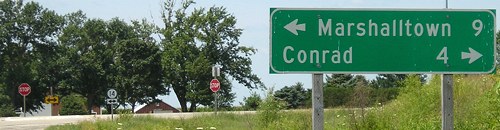
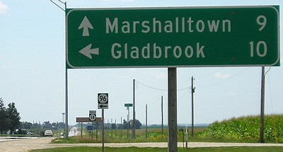
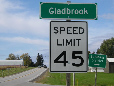
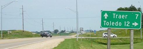
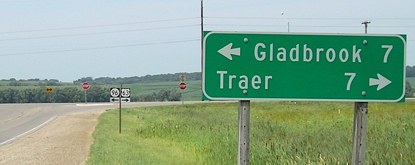
Although 96 goes through Gladbrook - really, skirts the south side - there are no mileage signs leaving town, no "14 10" or "63 7/Traer 14". As far as I know, 96 and 330 are the only highways that go through towns (Gladbrook and Albion) without any leaving-town LGSs in either direction.
Facing south on 14 (7/15/07)
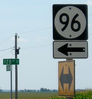
The 96 sign is on the yellow arrow in the top two pictures.

Facing north on 14 (7/15/07)

Facing north on 14 (9/7/04)
*Inaugural Highway End*

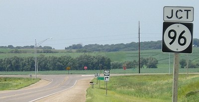
1920 WEST End: Gladbrook, Tama County
- In 1920, they knew it as: Gladbrook's connection to the main north-south road in Tama County
- We know it as: The eastern part of IA 96
Facing west on 96 (10/23/19)
The intersection with T47, at the southeast corner of town near the veterans memorial, was the first endpoint.
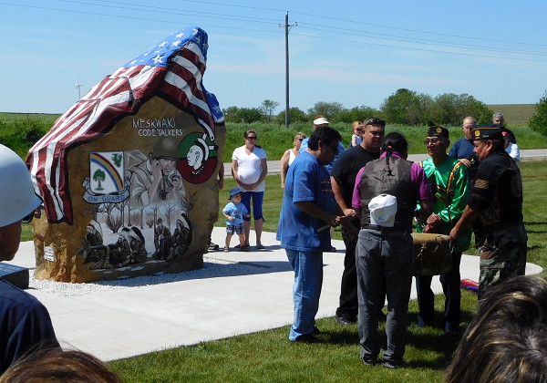
Meskwaki tribe members perform a drum ceremony at the dedication of the Tama County Freedom Rock in Gladbrook. (5/30/16)
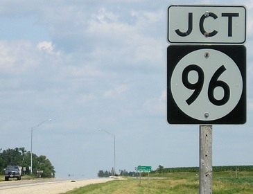
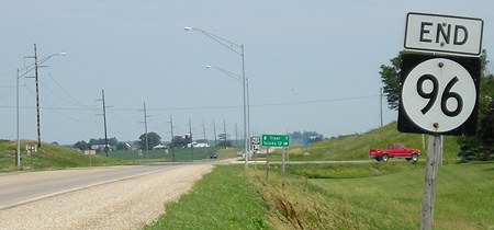
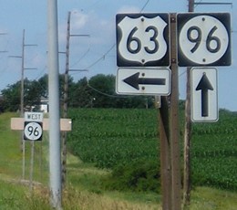
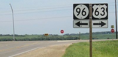
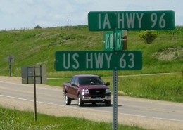
EAST End: T intersection, US 63, originally IA 59, Tama County
Facing east on 96 (7/3/05)
"End 96" has been here for a century. There had been a curve in the southeast corner of the intersection for the intersecting highway, which started out as IA 59 and became US 63 not quite 15 years later.
LGS in above photo (7/3/05)
Facing west, but heading south, on 63 (7/5/05)
Facing west, but heading south, on 63 (7/5/05)
Final 63 signs westbound (7/5/05)
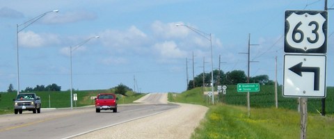
Facing north on 63 (7/3/05)
Facing north on 63 (7/3/05)
Facing north on 63 (7/3/05)
Rural street sign at intersection (7/3/05)
*Inaugural Highway End*
*Original Number, Original End*
Page created 11/24/01; last updated 10/1/07 3/22/20