
(November 13, 1974-July 1, 2003)
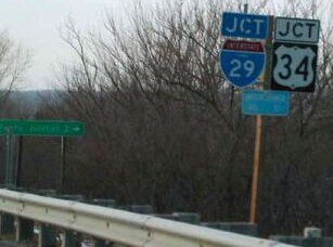
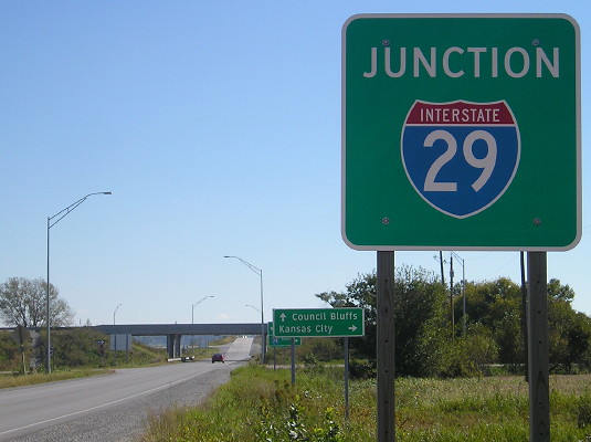
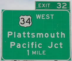
WEST End: I-29 exit 32 and US 34, Mills County
Facing west on 978 (1/20/02)
Photo by Neil Bratney
The part of US 34 southwest of Glenwood that did not become part of an extended 385 became unsigned 978, unacknowledged on 29's BGSs. At this point US 34 picks up its old route again to a bridge that opened in 1930. Paradoxically, as often happens with reroutes, the shortest route between the county seat towns of Plattsmouth and Glenwood is now not via US 34, but county roads left behind by the states.
Facing west on 978 (4/6/08)
The road in the foreground is the one the "Pacific Junction 2->" LGS in the above picture was pointing - "dustless" L31.
Facing west on 978 (4/6/08)
While IA 978 and IA 949 (Business 34 out of Glenwood to the east) were accepted by Mills County two days before the end of 2002, US 275 did not transfer until July 1, so all the signs were removed at the same time. Although 978 did not have any signs to be removed, the official route description uses July 1, 2003, like every other route in the Second Great Decommissioning.
Facing east on 978 (10/2/15)
Facing east on 978 (10/2/15)
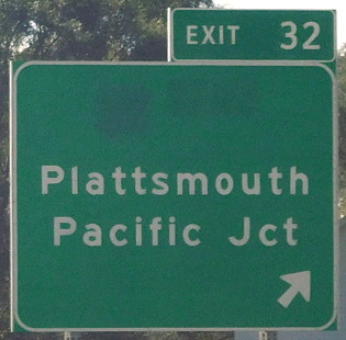
All of the signs at the interchange were installed in 2013, meaning they weren't around for two years before the US 34 pieces had to be covered up.
Facing east on 978 (10/2/15)
Facing west on 978 (10/2/15)
Despite formerly being part of east-west US 34, the road to Plattsmouth became an extension of L35, the county road designation for old US 275 between Council Bluffs and Glenwood and also running south to this interchange in 2003.
Facing west on 978 (10/2/15)
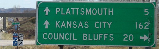
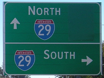
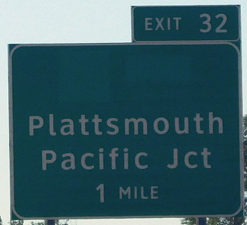
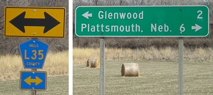
Facing north on 29 (4/6/08)
Notice that Plattsmouth doesn't have a "Neb" attached.
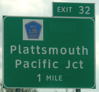
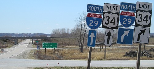
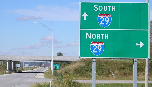
Facing south on 29 (10/2/15 and 4/19/17)
The good news is a route shield was placed; the bad news is it was put on the "34" space instead of centered.
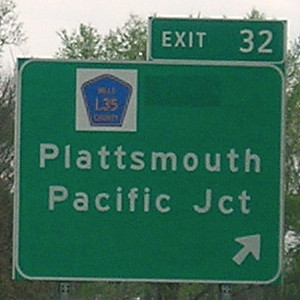
Facing south on 29 (10/2/15 and 4/19/17)
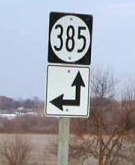
EAST End: T intersection, IA 385, Mills County
Facing northeast, but heading east, on 978 (1/20/02)
Photo by Neil Bratney
Because 978 was unsigned, only signage for 385 was at the end.
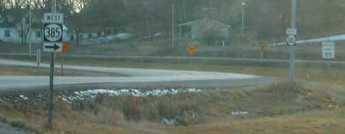
Facing southwest, but heading west, on 385 (1/20/02)
Photo by Neil Bratney
As 385 resumed its old course, 978 began just to the left of this picture.
Facing east on 385 (1/19/03)
Facing east on 385 (4/6/08)
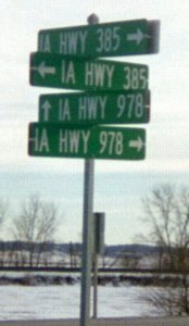
The 2003 rural sign assembly for IA 978, like 921, was the only proof that it existed. That is, unless you ask Rand McNally, and you still won't get a correct answer...
Last seen: 2003 (2002 Rand McNally atlas and Mills County map)

As you can see, Rand McNally put 978 in precisely the wrong section of old 34, the section north of 385, which instead became an extension of 385 as you can see above and on the 385 page.
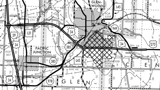
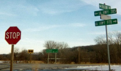
This county map shows IA 385 and IA 978, along with IA 949, in their proper places.
Page created 4/11/02; last updated 12/18/17