

NORTH End: Canada border, Portal ND, Burke County ND
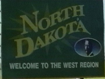
Facing south on 52
Frame from 2003 family vacation video
After leaving North Dakota, US 52 disappears into I-94 until St. Paul. Minnesota would dearly like 52 to be truncated there, but apparently North Dakota won't let that happen, letting this diagonal go from the border to the Atlantic Ocean (or close to it).
Along the route
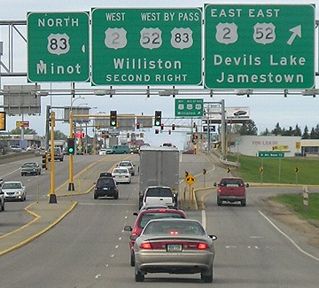
Minot, North Dakota: Junction US 83
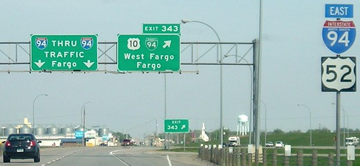
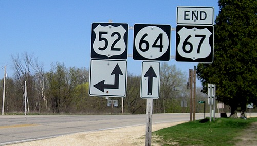
West Fargo, North Dakota: One of the last US 52 shields you'll see until St. Paul (also the west end of US 10)
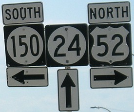
Calmar, Iowa: Common end of IA 24 and IA 150
Near Sabula, Iowa: North end of US 67
These two diagonal highways only have Iowa and Illinois in common, but only intersect at 67's end in Iowa.
Northwest of Indianapolis: I-65 approaching I-865
Signs like this are what pass in Indiana for "signing" US routes around the Indianapolis beltway. I-865 is the "dogleg" of I-465.
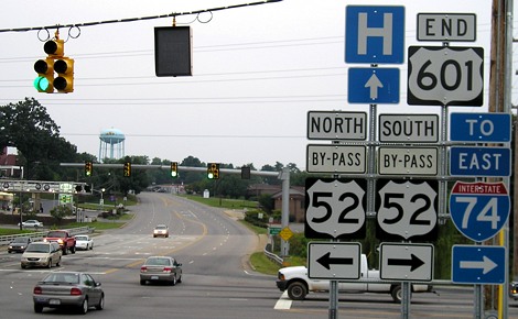
Mount Airy, North Carolina: North end of US 601
The bypass is really the mainline. Southeast of town, 52 becomes a freeway to Winston-Salem.
SOUTH End: I-26 and US 17, Charleston SC, Charleston County SC
The south end of US 52 is indistinguishable from the east end of Interstate 26. It's made even more indistinguishable by the fact that signage of US 52 is poor at best and nonexistent at worst.
Facing west on 26
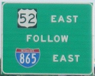
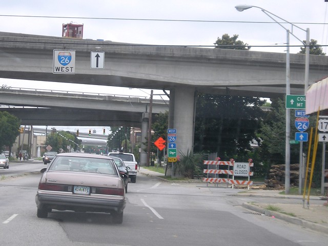
This isn't 52's end - we're 12 miles north of it. But south of here, signage gets really spotty. The exit is to both Ashley Phosphate Road and a short connector to US 52/78 on Rivers Avenue. If South Carolina is going to be so careless with its signage, I'd rather have the ends of 52 and 78 marked here instead of downtown.
Click on the thumbnails below to see larger pictures.
 |
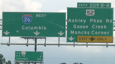
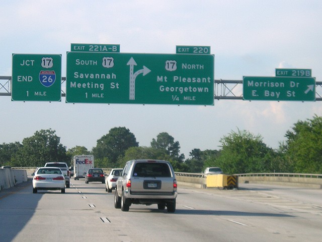
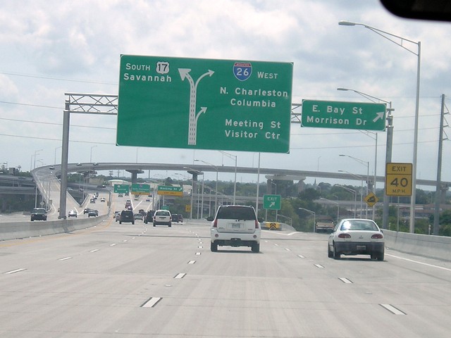
Facing south, but heading east, on 26 Coming down I-26, the interstate approaches its end near new US 17 bridges. Meeting Street is supposed to be the route that US 52 uses to come into downtown Charleston, but as you can see, there is no indication of it. |
 |
Facing south, but heading east, on 26 Morrison Drive and Bay Street are marked as Spur US 52 on some maps, but again, there is no signage. |
 |
Facing south, but heading east, on 26 The new US 17 bridge also meant new interchange ramps with I-26. The flyover ramp is to northbound 17. |
 |
Facing south, but heading east, on 26 The end of I-26 and US 52 are right ahead. As this lane runs into Meeting Street, a left turn would start on US 52. |
 |
Facing north on Meeting Street Ideally, or theoretically, this is where US 52 starts or started, at the old routing of US 17. The bridges seen here have been removed. There used to be a US 52 shield here, as seen on Dale Sanderson's page. |
 |
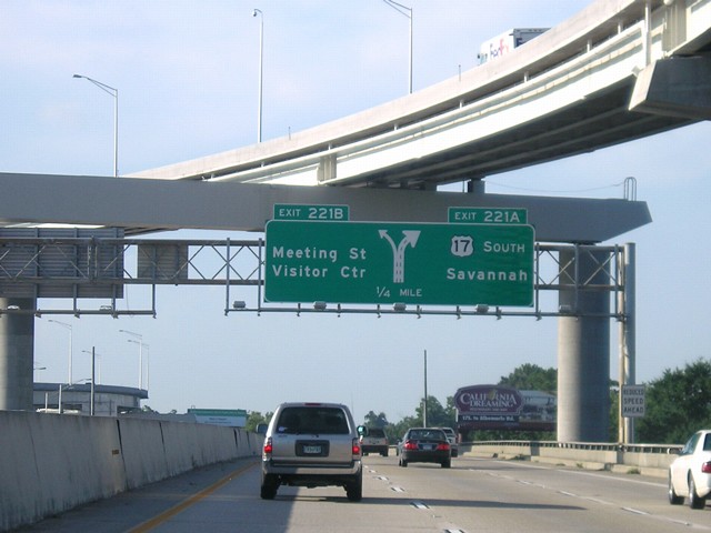
Facing west, but heading south, on 17 The new bridge includes an exit for Meeting Street, but the sign lacks a "52 North" marker. This new route is about six blocks north of the old bridges seen above. |
 |
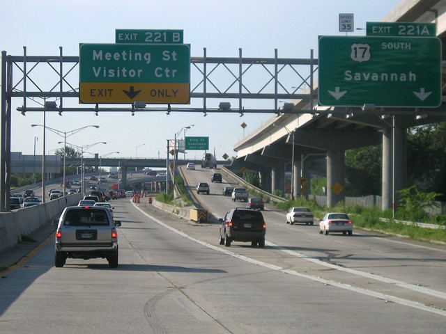
Facing west, but heading south, on 17 The big new interchange with I-26 is in the background, right after the exit for Meeting Street. Take the exit, though, and no signage for 52 shows up for quite a while. |
To Dale Sanderson's US 52 page
Pictures by me: Second, 5/11/07; third, 5/12/07; fourth, 7/31/05; fifth, 4/18/06; sixth, 8/6/05; seventh, 8/7/05; eighth-fifteenth, 8/10/05
Page created 12/11/06; last updated 2/10/08