

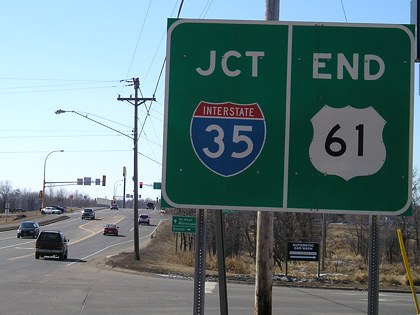
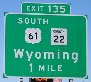
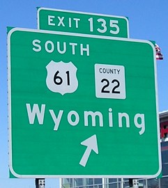
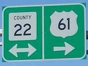
NORTH End: I-35 exit 135, Wyoming MN, Chisago County MN
Facing west, but heading north, on 61
Dale Sanderson calls 61's current end "a somewhat disappointing and inconspicuous interchange." I can't say I disagree. Because it once skirted the shoreline of Lake Superior and connected Duluth to Thunder Bay, being pulled back to the northern suburbs of the Twin Cities is a disappointment. (On the other hand, much easier for me to clinch!)
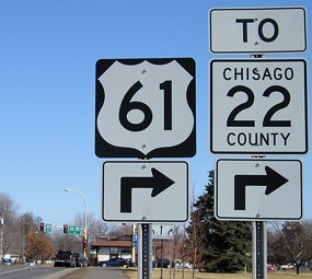
Facing west, but heading north, on 61
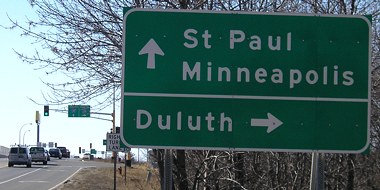
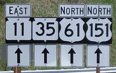
Facing north on 35
Facing north, stoplight at NB 35 offramp
Minnesota "neuters" the county road shields that are placed on green signs.

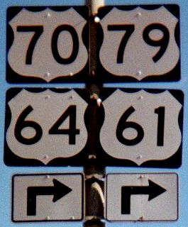
Facing east, but heading south, on 61 (first sign)
In the background is the intersection at which 61 resumes its old, pre-interstate route going south.
Facing east, but heading south, on 61
US 61 is the only route that ends in Minnesota and goes through another state before reaching Iowa, with a jaunt into southwestern Wisconsin.
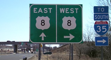
Surrounding area information: Junction US 8
Facing south on 61
The last US routes that 8 and 61 intersect before ending are each other.
Along the route
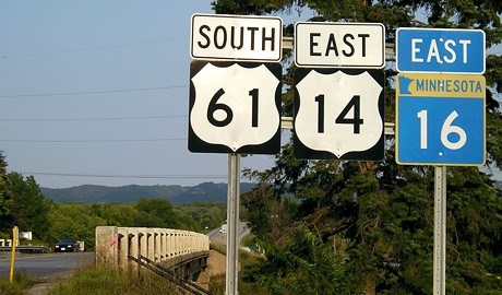
La Crescent, Minnesota: Last signs before Wisconsin
Southwestern Wisconsin: Rest area/Beginning of WI 11
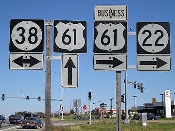
Muscatine, Iowa: Junction IA 22/38
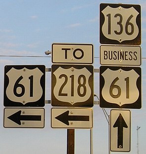
Keokuk, Iowa: East junction of US 136
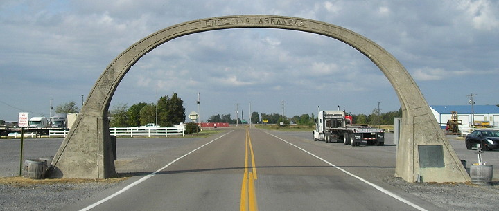
1924 arch (Arkansas Federal Aid Project #100) at Missouri/Arkansas state line
Memphis, Tennessee: Erroneous sign assembly near downtown (US 61 is farther south; the other three are now to the east)

La Place, Louisiana: South end of US 51. From here, 61 runs northwest to Baton Rouge, or southeast and then nearly due east to New Orleans.
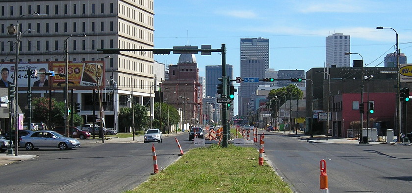
SOUTH End: US 90 E/Broad Ave. and US 90 W/Tulane Ave., New Orleans LA, Orleans Parish LA
Facing southeast, but heading south, on 61
Since 61 is such an important route through the nation's midsection, I was disappointed not to see an "End 61" sign, which older photos had shown in the median. A complete reconstruction of the median (as seen in Google Street View) months earlier is the cause.
Although all directions of traffic run through this intersection, left turns appear to be banned.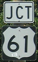
Facing northwest, but heading east, on 90
This was the only highway signage near the intersection at the time.
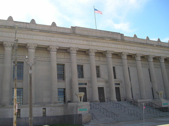
Orleans County Parish Courthouse
The south end of 61 is inside the triangle formed by I-10 and I-610, not too far from the Superdome and French Quarter. As befitting a historic intersection between an x0 and x1 route in a major city, at least part of the government is situated here.
To Dale Sanderson's US 61 page
Pictures by me: First-eighth, 3/19/07; ninth, 9/7/06; tenth, 4/18/06; eleventh, 10/13/06; twelfth, 12/18/06; 13th, 10/19/16; 14th, 12/29/01; 15th-18th, 10/23/16
Page created 4/17/07; last updated 7/17/17