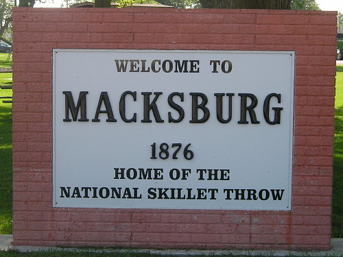
(July 1, 1920-November 14, 1966)
- In 1920, they knew it as: Macksburg's connection to (or consolation from being bypassed by) the Ayr Line, a road in southern Iowa (see IA 15)
- We know it as: Just under a mile of G61 running east out of Macksburg
- Let's get granular/Points of interest:
- The primary road to Macksburg (1920 pop. 228, 2010 pop. 113) met the primary road coming north from Afton just east of Macksburg. It got much longer when that other primary road was rerouted to run south from Winterset to Thayer.
- In 1966, the state paid Madison County $320,000 to go toward paving the road, on the condition that it was decommissioned. That only covered about half the cost. This would end up freeing that number to be used in eastern Iowa.
- With Macksburg as the third-smallest town (1920 census) to get its own spur route, and as one of only three such towns to lose a direct connection before 1980, and with the original route itself being so short, IA 70 is arguably the least essential part of the 1920 system.
- "Macksburg. Pop 300. Hotel-Cottage. Gas and oils-D.M. Friend. Blacksmith-J.R. Darnell." — Huebinger's Automobile and Good Road Atlas of Iowa, 1912
WEST END: Macksburg, Madison County

Macksburg city park, at the intersection of G61 and P53, was the final west end of the route. (9/19/14)
EAST End: IA 15, now G61 at Elderberry Ave., Madison County
The intersection is less than a mile east of the present Macksburg city limits. The original IA 15 running northeast from Macksburg to Winterset was more or less along what is now gravel County Road G53. It passed by the extinct village of Ord.
Page created 3/4/20