
NORTH End: I-35/IA 27 exit 194 and IA 122, Clear Lake, Cerro Gordo County
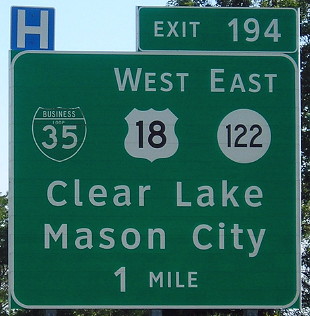
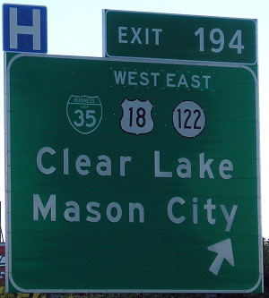
Facing south on 35 (7/26/16)
Since 1999, Exit 194 has been a hodgepodge of routes: interstate, interstate business loop, US route, US business loop, and state route. The addition of IA 27 only cluttered things up more. For pictures of this intersection, see this page.
Along the route
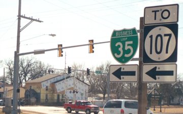
Facing west on 18, pre-decommissioning (3/22/03)
Elsewhere along its route, the loop is clearly signed. Here it leaves US 18 to use the northernmost part of old IA 107.
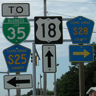
Facing west on 18, post-decommissioning (7/7/11)
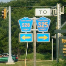
Facing east on 18, post-decommissioning (7/19/05)
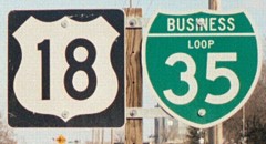
Facing east on 18 (3/22/03)
There are four sets like this along 18, plus one standalone 18 shield (whoops), but signage disappears at the interchange.
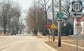
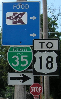
Facing east on Business Loop 35, pre- and post-decommissioning (3/22/03 and 7/7/11)
The business loop leaves old IA 107 at the intersection of 4th Avenue and 18th Street, using old IA 106 to go east. Since 1987, 107 has not been at this intersection. There was a school on the northeast corner of this intersection that was closed in 2008 and demolished in 2012.
SOUTH End: I-35 exit 193, Clear Lake, Cerro Gordo County
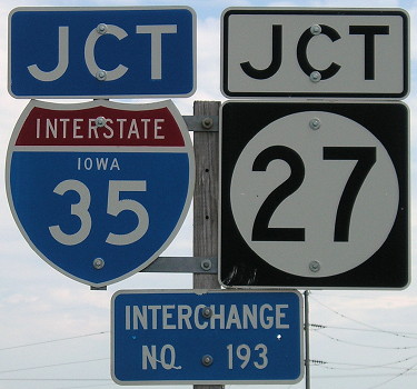
Facing east on Business Loop 35 (7/7/11)
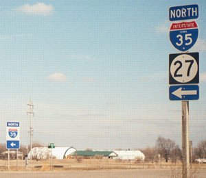
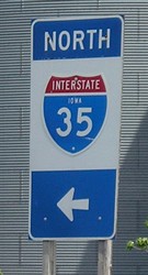
Facing east on Business Loop 35 / Closeup (3/22/03 and 5/28/06)
Unlike the business loop in Ames, this one does not have signs that send it onto the interstate. Instead, it just ends; in fact, the closest shield is 4/10 mile west of the interchange. The one-piece sign is pretty rare in Iowa; US 30 and 34 both at I-29 have a few like it. It's gone now.
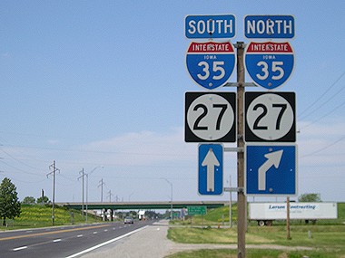
Facing west on 4th Avenue South (5/28/06)
This road, which used to be IA 106 and I-35's north end in Iowa from 1971-75, becomes Business Loop 35 on the other side of the bridge. Paralleling the road between southwest Mason City and former 107 is the Trolley Trail, so named most likely because it follows the path of an old interurban trolley line.
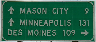
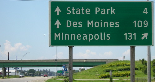
Facing east / Facing west (7/7/11)
This interchange had not had its signs replaced with generic ones yet. However, one mileage sign was in Clearview with Clear Lake State Park included as an additional destination.
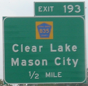
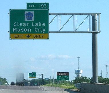
Facing south on 35/27 (10/4/16 and 7/26/16)
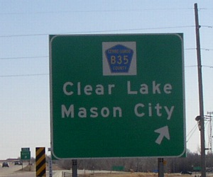
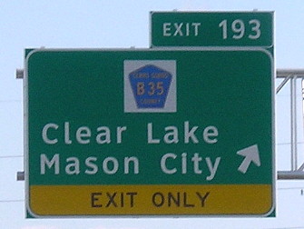
Facing south on 35 (3/22/03 and 7/26/16)
Technically, B35 is not at this intersection. It skirts the south side of Clear Lake, turns north two miles east of where IA 107 used to end, then turns east two miles after that, where it picks up old IA 106. This may be the only case where a county road is signed and it's not here. The south BGS was missing the exit tab, as you can see - and it still is.
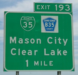
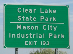
Facing north on 35 (5/28/06)
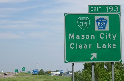
Facing north on 35 (5/28/06)

Facing north on 35 (shot from SB lanes) (3/22/03)
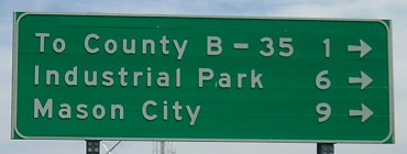
Facing north on 35 offramp (5/28/06)
Page created 7/7/03; last updated 1/13/17