
(January 31, 1928-July 1, 2003)
WEST End: Stop sign/T intersection, IA 5, Marion County
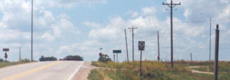
Facing west on 156 (6/28/03)
Photo by Jason Hancock
Jason raced down to get 156 before July 1, but he was beaten to the punch even though it was June 28. Ironically, I would spend June 30 in Benton County waiting for signs to come down and they were still up at the end of the day (except for 199, which I wasn't looking for because it wasn't on 30 - ack!). The first "East 156" pole, similarly naked, is on the left.

Facing west on 156 (10/18/20)
The poles that once held 156 shields now have G71 shields. That's good, but the sign at right would be better with an "End" at top.

Facing west on 156 (6/28/03)
Photo by Jason Hancock
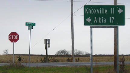
Facing west on 156 (10/18/20)

Facing southeast on 5 (6/28/03)
Photo by Jason Hancock

Facing southeast on 5 (6/28/03)
Photos by Jason Hancock
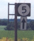
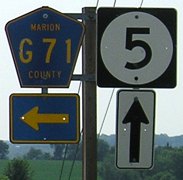
Facing southeast on 5 (6/28/03 and 7/11/05)
Left photo by Jason Hancock
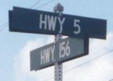
Photo by Jason Hancock (6/28/03)
Only the rural signage revealed the old highway at the time.
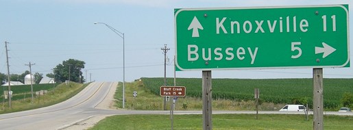
Facing northwest on 5 (7/11/05)
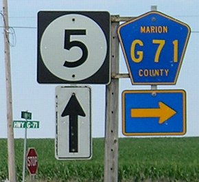
Facing northwest on 5 (7/11/05)
This photo is bigger to show the new rural sign in the background.
EAST End: City limits of Bussey, Marion County

Facing north, but heading west, on 156 (6/28/03)
Photo by Jason Hancock
Jason writes, "Finding the east end was harder than I thought. I forgot to check the PDF map first, and I thought the east end was further in town, but I later found out that IA 156 ended at the west edge of town, at 2nd and West Streets. The only shot I got in that area was this, the leaving-town LGS."
Records put online in the mid-2010s show that IA 156 was truncated to the city limits on December 19, 1980.
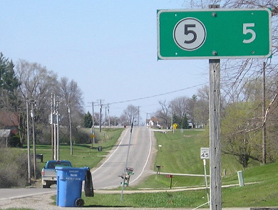
Closeup of mileage sign (4/13/16)
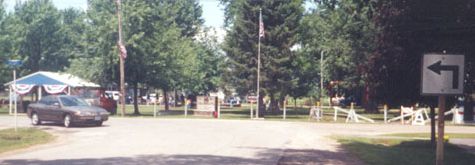
Facing north on Merrill Street, about three blocks southeast of above picture (6/28/03)
Photo by Jason Hancock
What, then, of this sign? There doesn't appear to be any space for a pole above it.
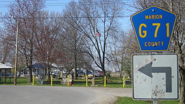
Now we have an answer. (4/13/16)
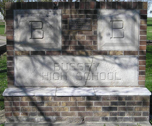
"Monument" made of bricks from former school in park (4/13/16)
Old SOUTH End: 5th St., Bussey, Marion County
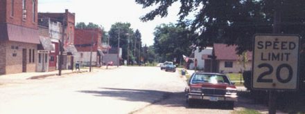
Facing south (6/28/03)
Photo by Jason Hancock
Jason says the space on the post above the speed limit sign originally led him to believe a 156 marker was there. And there might have been, because the route did go into Bussey until it was truncated at the city limits in 1980 (noted above).
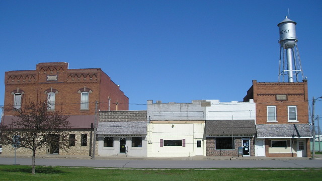
Part of Bussey's business district (4/13/16)
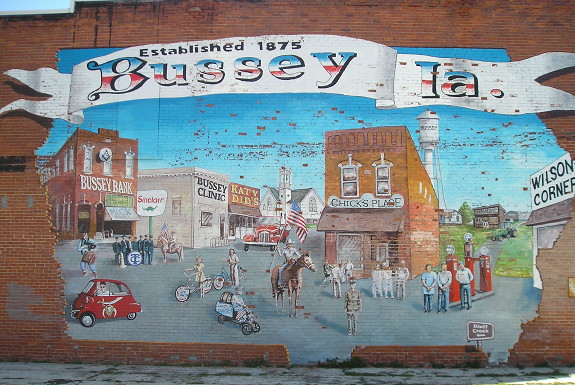
This optical illusion (or the fancy name, trompe l'oeil) painting is on the side of the building to the right of the above photo, across the street from Katy-Did's. (4/13/16)
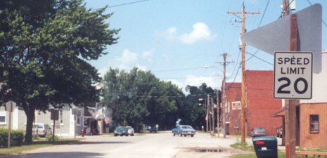
Facing north (6/28/03)
Photo by Jason Hancock
There is space for a sign here too.
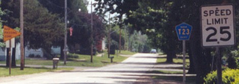
Facing south on T23 (6/28/03)
Photo by Jason Hancock
Page created 12/18/03; last updated 11/1/20