(June 4, 1935-May 12, 2003)
Within two months of taking these pictures, the signs came down on the date above. Pocahontas County orginally accepted the road Dec. 13, 2002.
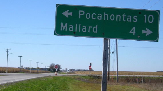
WEST End: Stop sign, IA 4 and C15, Pocahontas County


Facing west on 195 (3/21/03 and 10/20/18)
The pole for the sign at left is stuck on another one that's actually in the ground.

Facing west on 195 (3/21/03)

Facing west on 195 (3/21/03)
One of the double arrows was posted by the Department of Redundancy Department; everything would be correct for a county road if the pole holding the "End 195" shield would just be uprooted entirely. I would say the 4 shields look a bit weird or off-center, but that's because the number doesn't lend itself well to symmetry, and this east-central Iowan is not used to seeing a 4 by itself. :-)

Facing west on 195 (10/20/18)

Facing north on 4 (3/21/03)
This is an older sign, because the county name and shield outline are white instead of yellow. Its replacement is below.

Facing north on 4, post-decommissioning (9/8/06)

Facing north on 4 (3/21/03)

Facing north on 4 (3/21/03)

Facing south on 4 (3/21/03)
I'm not sure why the shields are reversed, but that isn't a problem now.

Facing east on C15 (10/20/18)
The Plover elevator is very visible from three miles away.

Northeast corner of intersection (10/20/18)
EAST End: Stop sign, UP (C&NW) railroad tracks, Plover, Pocahontas County

Facing east on 195 (3/21/03)
I don't know if the train traffic justifies the stop sign, seeing as though the current state map shows this track ending at Mallard. The tracks used to go through Ayrshire - it's the same railroad 314 ended at - and end at east-west tracks at Ruthven.

Closeup of signs (3/21/03)
In the background, between the van and the stop sign, are a county sign to a park and "Jct N57". N57 is a mile west of where it is compared to Palmer.

Facing east on C15 (3/21/03)
The round RRX sign for the tracks is at left. This is on C15, although unlike 315 we're not told until after the intersection.

Facing east on 195 (10/20/18)
The stop sign at the RRX has been upgraded to a fully signaled crossing.

Facing west on 195 (10/20/18)
Last seen: 2003

Page created 4/26/03; last updated 12/11/06 3/21/19