
(January 8, 1931-December 31, 1989)
WEST End: Railroad tracks just east of 1st St., Breda, Carroll County
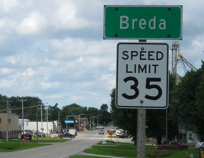
Facing west on 217 (8/8/16)
The end is near where that pickup is in the background.
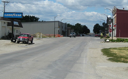
Facing west on 217 (6/24/17)
The concrete seen at bottom right is a trail where the railroad tracks used to be, so this was the official end of 217. I'd never been to Breda before 2016, then went through a second time after realizing I needed a better end shot.
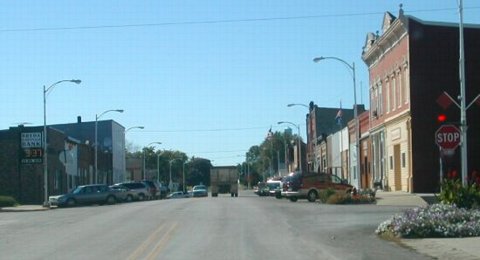
Facing west on 217 (9/20/02)
Photo by Neil Bratney
Neil writes, "Based on personal research of spur termini in other towns, IA 217 probably either ended at: this stop sign (1st Street), which goes north from Breda as Granite Ave. toward Carnarvon and Lake View, or at the other end of Breda's business district, 3rd Street (near the flag pole seen in this picture)."It turns out IA 217 DID end at 3rd Street between 1940 and 1967, more on that below.
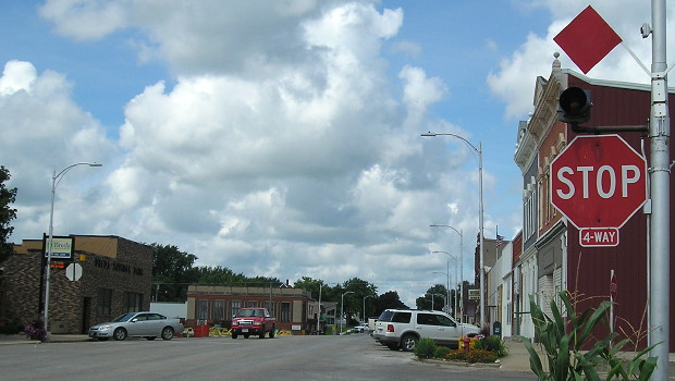
Facing west on 217 (8/8/16)
A big portion of Breda's business block was demolished between Neil's pictures and mine (behind the bank, on the left).
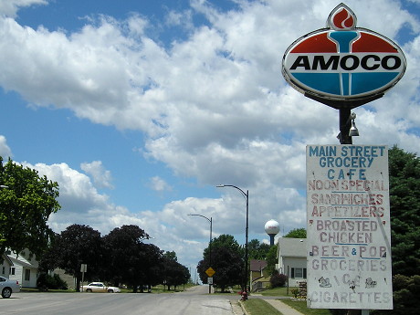
Facing west on 217 (6/24/17)
This is at 3rd Street, the far end of the business district. The existence of the Amoco sign, long after all active stations were converted to BPs, is of historical significance now.
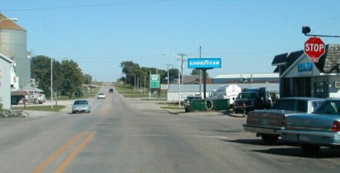
Facing east on 217 (9/20/02)
Photo by Neil Bratney
The first "East 217" sign would have been in the middle-distance of this picture, between the locations of the cars on the road.
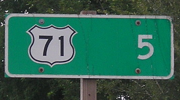
Facing east on 217 (8/8/16)
EAST End: Stop sign, US 71, Carroll County
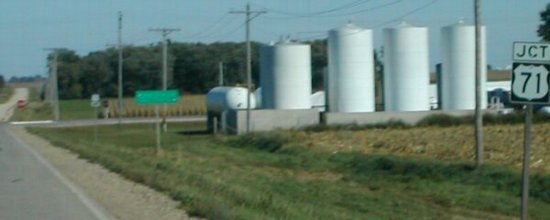
Facing east on 217 (9/20/02)
Photo by Neil Bratney
LGS reads "<- Lake View 17; Carroll 7 ->". These signs were taken down and rearranged later.
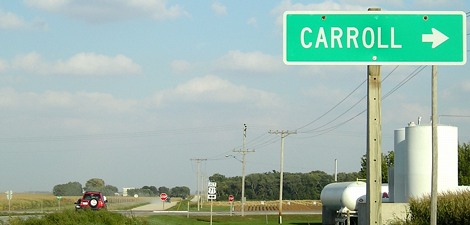
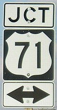
Facing east on 217 (9/17/07)
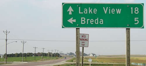
Facing north on 71 (9/17/07)
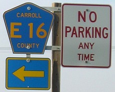
Facing north on 71 (9/17/07)
The "No Parking" is related to businesses on the other side of the road (see below).
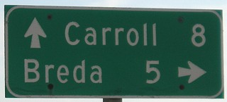
Facing south on 71 (9/17/07)
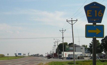
Facing south on 71 (9/17/07)
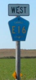
Facing west on 217 (9/20/02)
Photo by Neil Bratney
The "West" is probably a remainder from the state route. Similar leftovers used to be on IA 236 in southern Carroll County.
Last seen: 1989 (1986 map)

Page created 4/8/04; last updated 1/13/18