
(June 4, 1935-December 26, 1989)
Old WEST End: Dearborn St., Liscomb, Marshall County
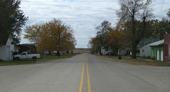
Facing southwest, but heading west, on 311 (10/23/19)
While I was unsure of where the designation ended, mile markers remaining on the route in the early 2000s led me to where E18 turns straight west after angling into Liscomb. I slightly miscalculated because until November 18, 1980, the endpoint was one block after that turn.
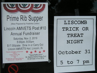
City Hall as town message board (10/23/19)
Based on the decommissioning date, turning 311 over to Marshall County was part of the price for the DOT rerouting IA 330 on S75 through Albion.

Facing northwest, but heading west, on 311 (3/23/02)
Liscomb's street grid is based on the railroad that isn't there anymore, so the streets are at about a 45-degree angle. This is a block east of the end.
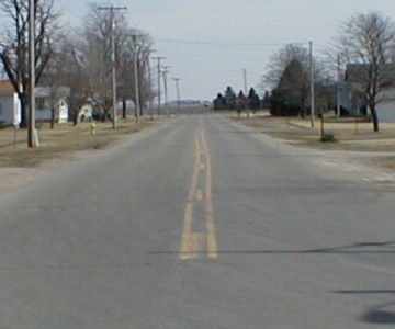
Facing southeast, but heading east, on 311 (3/23/02)
You can see the curve from here as the road seems to vanish into the farmland. Two-tenths of a mile from this spot, it intersects S75. Traffic on E18/old 311 does not stop, and westbound traffic (coming towards this picture) takes about a 45-degree angle immediately after the intersection, and I do mean immediately.
WEST End: Liscomb, Marshall County
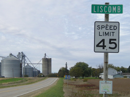
Facing west on 311 (10/23/19)
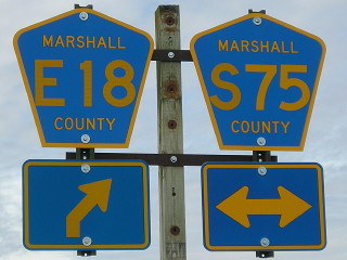
Facing west on 311 (10/23/19)
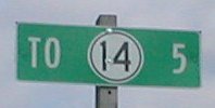
Facing east on 311 (3/15/02)
This LGS outside of Liscomb is a county-made sign, probably a replacement for whatever DOT sign was here, but by any practice shouldn't have a "To" on it.
EAST End: Stop sign, IA 14, Marshall County
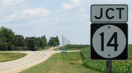
Facing east on 311 (7/15/07)


Facing east on 311 (7/15/07 and 10/23/19)
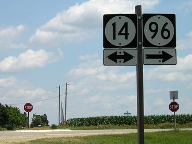
Facing east on 311 (7/15/07)
The double set of signs is reminiscent of 311 being a state highway. I am sure that in the late '90s there was a correct "To" tag above the 96 sign; it is half a mile south of here and within sight.

Facing east on 311 (10/23/19)
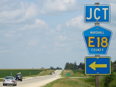
Facing north on 14
Close examination under the E18 label reveals T29, which is nearby.
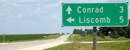
Facing north on 14
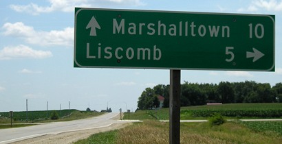
Facing south on 14
Last seen: 1989 (1986 map)

Page created 4/16/02; last updated 3/24/10 5/9/20