
(January 8, 1931-1991)
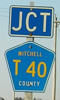
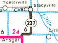
NORTH End: Stacyville, Mitchell County
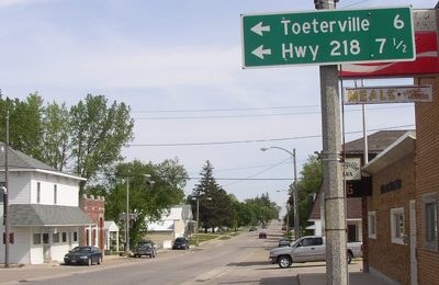
Facing north on 227
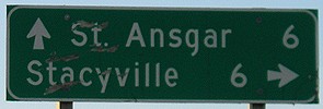
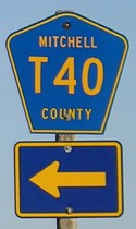
Unlike the help I got for IA 351, when I walked into the Stacyville post office my inquiry into 227's north end was met with blank stares. So here's my guess, the north junction of A23, with this county sign that may have replaced a state one. Turns out the end was at College Street, a block north so in the background of this picture.
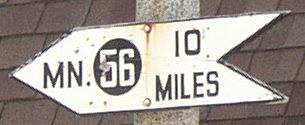
This sign was also near this intersection. Looks rather old. Here, MN 56 is about 5 miles north of the line.
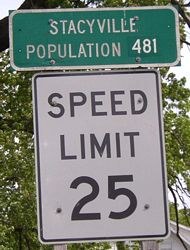
Facing north on 227, south edge of town / Facing south on 227, south edge of town
The speed limit sign is DOT-standard, but the green sign above it isn't. Although the spur was decommissioned in 1991, I think this sign predates even that because the pasted "481" is the 1990 population - its 2000 population was 469. Maybe that was there even when it was a state route.
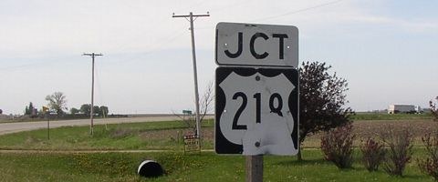
SOUTH End: Stop sign/T intersection, US 218, Mitchell County
Facing south on 227
The semi at right is at the end of 227. The intersection used to have straight roads running from either end of the curve, like IA 383, but now the county road meets 218 at a T.
Facing south on 227
Surprisingly, the "End" pole was still up.
Facing southwest, but heading south, on 227
Facing north on 218
Facing north on 218
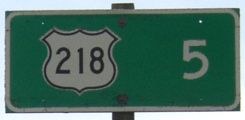
The first shield on 227 is at far left; at far right is the "218 <->" at 227's end.
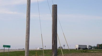
Facing east, but heading south, on 218
Facing east, but heading south, on 218
Last seen: 1991 (1991 map)
Rand McNally still had 227 on the Minnesota page for its 1996 atlas. A Minnesota construction map for 2003 erroneously marks it as IA 277.
Pictures by me: First-seventh, 5/19/04; eighth-thirteenth, 10/6/06
Page created 6/13/04; last updated 12/31/06