
(June 4, 1935-July 1, 2003)
Old NORTH End: Railroad St., Atkins, Benton County
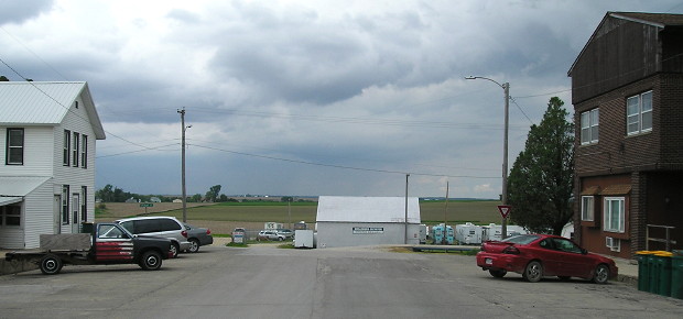
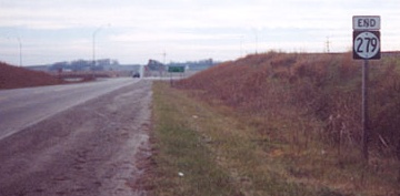
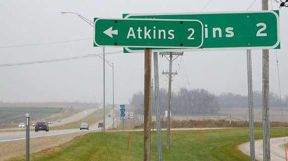
Facing north on 279 (5/23/17)
For its first four years (1936-40), IA 279 ended a block south, at 1st Street, behind the camera. The addition of a block put the whole business district on the highway.
NORTH End: City limits of Atkins, Benton County
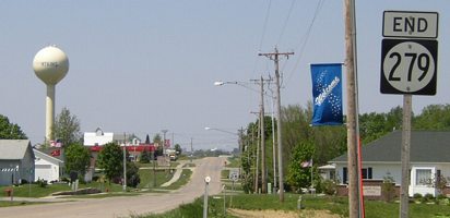
Facing west, but heading north, on 279 (5/20/03)
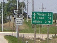
Like other Benton County spurs, 279 was longer before 1980, when the road went an additional 7/10 mile into downtown (top).
Facing west, but heading north, on 279 (5/23/17)
Facing east, but heading south, on 279 (the road curves; the second car is turning west) (5/25/02)
Photo by Jason Hancock
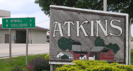
Facing south on 279 (5/23/17)
Compare the font here to IA 201's LGS. On the east side of the road is new development. As the Benton County town closest to Cedar Rapids, Atkins has benefited from exurban growth, and that's expected to continue when the IA 100 extension opens.
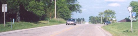
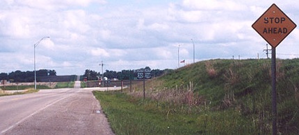
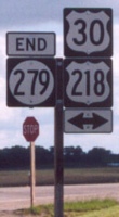
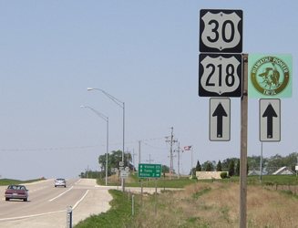
SOUTH End: Stop sign, US 30/218, Benton County
Facing south on 279 (12/2/01)
Photo by Jason Hancock
Within months of the time this photo was taken, a "Stop Ahead" sign was placed on the same pole, and a "Jct 30/218" added between here and the LGS.
Facing south on 279 (5/25/02)
Photo by Jason Hancock
Facing south on 279 (5/25/02, 5/25/02, 8/8/09)
Left and center photos by Jason Hancock
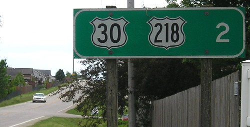
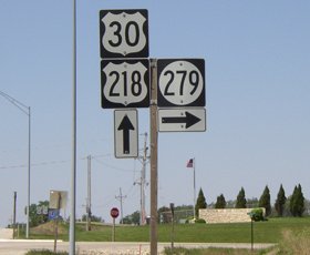
Facing east on 30/218 (12/2/01)
Photo by Jason Hancock
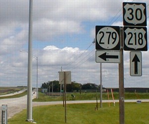
Facing east on 30/218 (5/25/02)
Barely visible at lower left is "mile marker" 242.70; the DOT signs tenths of a mile on the side of four-lane roads. However, they are not always correct, especially on roads like US 30. In fact, eight miles west of here, the mile markers go from a freeway-style large 234 near the 218 intersection to a small 231 west of that point. Add that to the 0.2-mile-long Mile 149 in Ames and numbers are at least three miles off here.
Facing west on 30/218 (5/20/03)
Facing west on 30/218 (5/20/03)
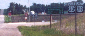
Facing north (5/25/02)
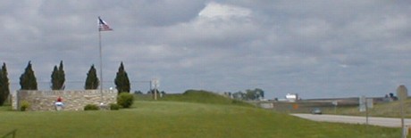
Like IA 252, there is a memorial at the intersection of 279 and 30/218. The inscription across the top reads "In Honor of the Veterans of Benton County". At right you can see the three square shields on the pole, the 30/218 and double arrow on the picture's left and "End 279" on the right.
Facing east on 30/218 (11/24/16)
On Thanksgiving Day 2016, I caught a sign replacement project that had almost finished: All the signs and shields on eastbound 30/218 along the four-lane west of Cedar Rapids were being replaced with larger versions. (Westbound replacement came later.) Here, a Clearview LGS erected post-decommissioning was being replaced with a new-FHWA-style "medium green sign" (for lack of a better term).
Last seen: 2003
Page created 2/23/02; last updated 12/10/17