
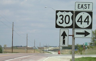
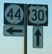
WEST End: Stop sign, US 30, Harrison County
Facing west on 44 (5/7/06)
The road in this area has been slightly resculpted to meet US 30 at a right angle. In the Lincoln Highway era, the road between Logan and Woodbine followed a stairstep route. At this point the Lincoln went east-west, coming through the present 30/44 intersection and turning north about half a mile behind the camera.

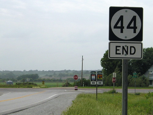
Facing west on 44 (5/7/06)
If ANY of the signs in western Iowa should have the "End" under the number, it should be this one! It just makes more sense to say "44 Ends" rather than "Ends 44", but (for example) "End 41" sounds better than "41 End". Those wacky western Iowans. This is the only occurrence in the state of a non-standard "Ends" regular sign (as opposed to a BGS, where it is acceptable).
Facing west on 44 (6/22/13)
*facepalm*
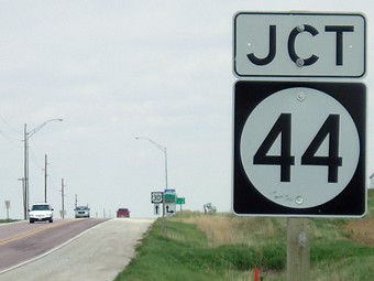
Facing northeast, but heading east, on 30 (5/7/06)
The pavement here has the redness characteristic of the area, which extends to South Dakota and Nebraska.
Facing northeast, but heading east, on 30 (5/7/06)
Facing northeast, but heading east, on 30 (5/7/06)
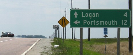
From this perspective, the Lincoln Highway is the cross road (though it is now a dirt road to our left).
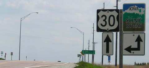
Facing southwest, but heading west, on 30 (5/7/06)
Facing southwest, but heading west, on 30 (6/22/13)
For the first time in decades, the Iowa Department of Transportation put signs up along a dirt road — in this case, a Lincoln Highway loop on the Harrison County "stairsteps".
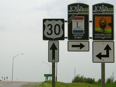
Facing southwest, but heading west, on 30 (5/7/06)
Facing west on 30 (1/20/02)
Photo by Neil Bratney
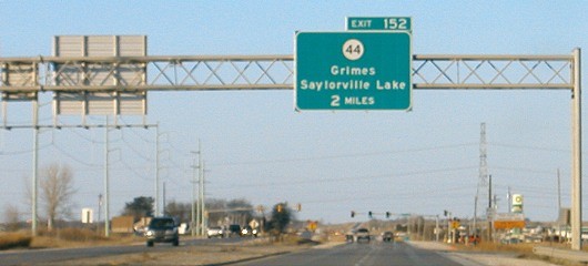
EAST End: Interchange, IA 141 and F42, Grimes, Polk County
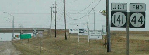
Facing east on 44 (3/31/02)
Photo by Neil Bratney
Neil says, "IA 44 is one of only two diamond interchanges on the original IA 141 expressway in 1975. The other is at IA 17, and they are both shown on the 1976 USGS topo quad maps. Strangely, the interchanges weren't indicated on Iowa Highway Maps until IA 141 expressway was completed between Granger and Bouton in 1997." Now, the interchange is getting much more use. Say it with me: "Mmm...urban sprawl."
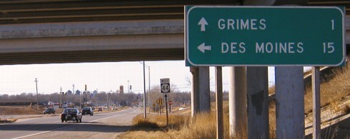
Facing east on 44 (5/17/05)
Proving the sentiment above, in 2004 the small piece of IA 44 between downtown Grimes and IA 141 was reconstructed and upgraded into a divided four-lane with curbs, compared to the simple gravel shoulder above. As a byproduct of the work, the "End" sign and the first LGS seen in the above picture have disappeared; this is now the first sign heading east.
Facing east on 44 (5/17/05)
Ahead, past the stoplight, is now a Wal-Mart.
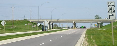
Facing west on F42/NW 70th Avenue (5/17/05)
Although the state map marks this road as F42, all but the mile east of this interchange is outside the Johnston city limits. According to Grimes' city zoning map, only the northeast quadrant of the interchange remains outside of that city's limits, leaving a narrow north-south strip between the two. This is the first assembly facing west, just as the road becomes a four-lane.
Closeup of signage in background (5/17/05)
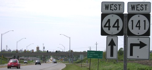
Facing west on 44 (1/18/04)
Facing north, but heading west, on 141 (1/18/04)
The southbound assembly at left is the first gantry for 141's interchange with I-35/80, and you can see it on the 141 page. The "End 141" is the leftmost sign in this crop. There is no 1-mile BGS for 44 on NB 141. This particular position is within Grimes' city limits already - it claims all the space around 141 down to its end. This gantry was taken down in 2005, along with the "End 141" sign, when 141 was repaved for six lanes between I-35/80 and the stoplight in the distance.
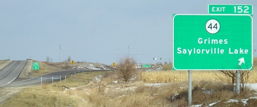
Facing north, but heading west, on 141 (12/12/05)
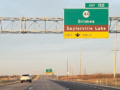
Facing north, but heading west, on 141 (12/15/17)
Photo by Jason Hancock
*selects bottom line, clicks "ALIGN CENTER"*
*selects bottom line, clicks "ALIGN CENTER"*
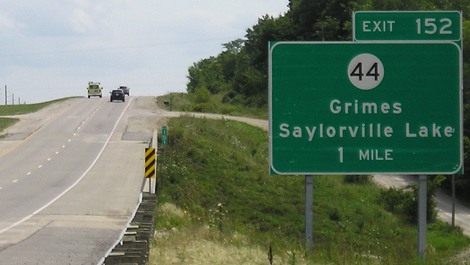
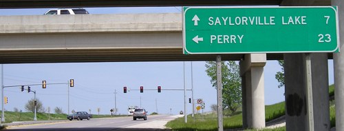
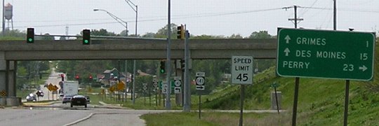
Facing south, but heading east, on 141 (7/29/09)
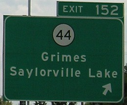
Facing south, but heading east, on 141 (7/29/09)
Page created 3/22/02; last updated 2/21/19