Traer, Iowa, May 26 — This was an easy day, partly tracing previously traveled routes. The key here was being able to travel US 34 west of Burlington after it had IA 163 added to it.
Route: Old US 66 to Atlanta, I-55, I-155, I-74, I-474, Airport Rd, IL 116, US 34, US 218, old US 218 (IA 923 and then 921), US 218, IA 8
I began by following the US 66 bypass, which is only signed as old 66 and not the business loop, around the north side of Lincoln and then up to the first exit past. In Atlanta, the signed US 66 route is the one through town, not the bypass that was later bypassed. Downtown had some 66-related stuff, including its version of the Gemini Giant.

Various “reskinnings” of this statue model dot Route 66.
There wasn’t much traffic on I-155. Some sprinkles as I crossed over to I-474 — the only rain of the vacation.
I’ve seen it enough it appears to be a trend: The “JCT” signs for individual routes on two-lane roads are a larger size than usual. (This does not apply when there is a single-panel “JCT” sign for multiple routes.)
In Roseville, I drove west of town to US 67 (co-signed with IL 110), then north, then south through town on the business route, then back on 67 to get to 116.
IA 163 is indeed signed through to the Great River Bridge. Even the former IA 99 interchange at the foot of the bridge has 163 markers placed for the eastbound ramp. I was going to do Snake Alley, but as it turns out, it was closed for a bicycling event.
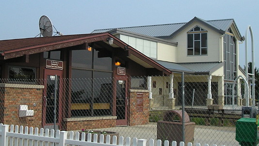
I went to the Burlington Welcome Center for information on the locations of the territorial capitols for both Iowa and Wisconsin. There is a big marker inside the building, and I was told there are none at the sites. However, multiple sites online say there ARE. I should’ve done more research. I did some walking and didn’t see any, but that doesn’t mean they weren’t there.
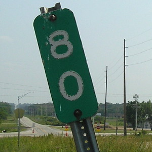
At US 218 and IA 92, the pavement that used to make up the intersection is still largely intact. A short diagonal that received an official designation of IA 936 is so untouched the rumble strips are still there. I got off 218 at the G36 interchange and started following the old route.

Between IA 92 and IA 22, the only part with new concrete is by Highland school. In addition, this segment is not signed as W64. Where the old pavement exists, the old mile markers do too. North of IA 22, W64 markers appear again with new wide concrete. Interestingly, the concrete appears to be scored a short distance in from the edge, possibly marking the width of the original/previous pavement. When the road switches from old to new it does widen slightly.

The northbound I-380 rest area is being replaced.
