Overland Park, Kansas, June 26, 2014 — I said “quarter after nine” for a wake-up call. It rang at 7:15 and 7:20. It wasn’t a good start to the day.
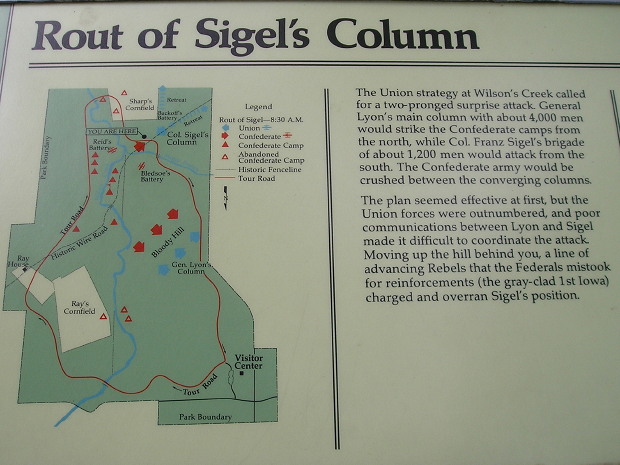
About an hour and a half up US 160, I got to Wilson’s Creek Battlefield National Historic Site. This is where Nathaniel Lyon, namesake of Iowa’s Lyon County, was killed after surprising the rebels early. However, Union could not hold it together and a Confederate regiment was mistaken for an Iowa regiment (wearing gray) until it was too late.

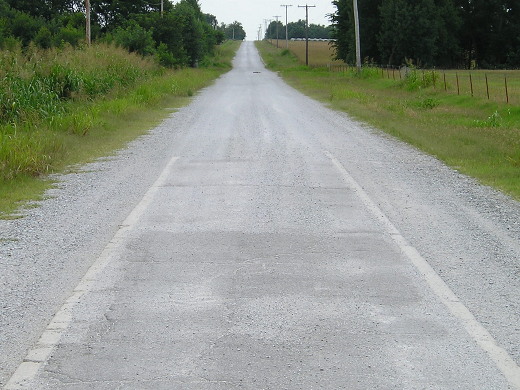
After two hours-plus there, I headed east to clinch US 60 in Missouri. Then, once into Oklahoma, I explored more of old US 66. The 1922 “Sidewalk Highway” on E200th and S520th is some of the worst washboard road I’ve ever encountered. So much gravel is on it the pavement is nearly gone. There was a Will Rogers Highway marker at the intersection of 220th and 520th, south of the 59/60/69 junction.

South end of a segment of narrow US 66 concrete in far northeastern Oklahoma. The concrete isn’t nearly as visible elsewhere — it’s more felt than seen.
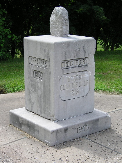
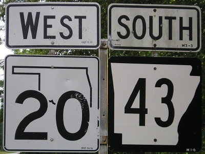
I returned to the very southwestern corner of Missouri to see the tri-state marker there. South of that intersection is one of the most interesting highway duplexes in the country, AR 43 and OK 20. From there it was time to travel the newly signed I-49 through Missouri. Right now, I-49 randomly starts/stops 5 miles north of the state line, and will for the foreseeable future because of lack of funding to bypass Bella Vista, Arkansas.

Tri-state marker at Southwest City, Missouri. Camera is in Arkansas looking toward Oklahoma. Below, the dual-state sign-duplex.

I thought I was going to end the day in Harrisonville, but there was no lodging available. There wasn’t any in Lee’s Summit either. After a call to the Super 8 line and an exchange with someone unfamiliar with the area, I used the last in both my physical and metaphorical gas tanks to take I-470 and I-435 into my fourth state of the day and plop into bed.
