Along Iowa’s southern border, a string of nearly forgotten iron posts marks where Iowa ends and Missouri begins. The westernmost marker, once the northwest corner of Missouri, is today at the southernmost point in the slightly bent line west of the Des Moines River.
I’ve written extensively about the Sullivan Line before. (See also this link from IPTV/The Goldfinch.) Around the same time I wrote that, a Missouri surveying crew was seeking out posts erected along the line in the 1850s and succeeded. Their story was featured in American Surveyor magazine in 2006 (PDF), and is worth the read. Because the northwestern part of Missouri wasn’t attached to the state until 1837, the survey ended in Taylor County, west of the now-unincorporated near-ghost-town of Athelstan. In January 2012 and again in my circumnavigation trip last year, I went to the marker. It’s not easy to get to.
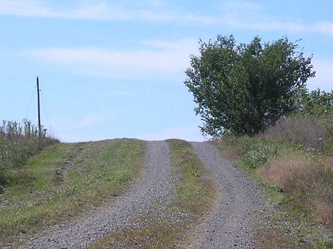
Advice/Disclaimer: Do not attempt to visit this marker within 48 hours of a precipitation event, 72 after a good drenching. Four-wheel drive isn’t necessary but it’s not a bad idea either. Professional roadgeek, open course.
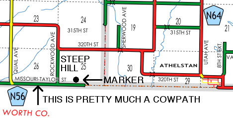
Red is gravel, green is dirt. The road turns south after the marker. What this map doesn’t show is the marginally better gravel-road path on the Missouri side to the marker (take the first gravel road east, then north), but again, turning around really isn’t an option.
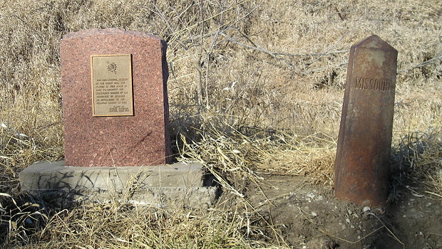
January 10, 2012: The original start of Sullivan’s Line, right, and a complementary stone posted decades later. A news story in 1931 said the iron marker was in the center of the road.
“This iron marker, remnant of the Honey War, was placed at this point in 1850 to identify the northwest corner of the Territory of Missouri as determined by the Sullivan Survey in 1816. Placed by Virginia Daughters Chapter, NSDAR 1989”
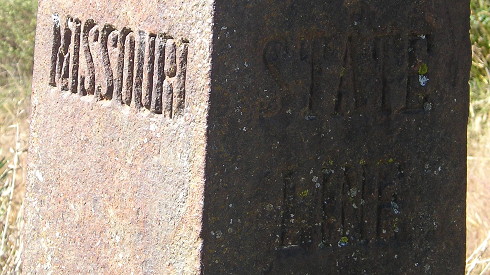
October 2, 2015: Above, iron border marker looking west; below, looking west from the marker, Iowa on the right
