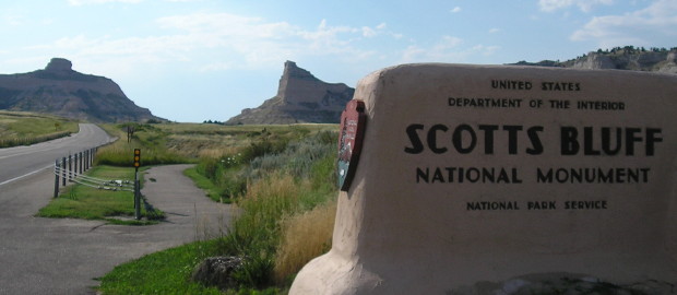
 August 3, 2016: Entrance to Scotts Bluff National Monument via old NE 92. NE 92 used to end much farther east, at NE 61 in Arthur County, but then was extended across the state and joined WY 92.
Scottsbluff, Nebraska — Where does the West begin?
Is it the Appalachian Mountains, or the Mississippi River? Is it the north-south run of the Missouri River, where places like Council Bluffs, St. Joseph, and Independence were the starting points for great Western transportation routes, then on a line to the south, where as Will Rogers said, “Fort Worth is where the West begins and Dallas is where the East peters out”? Is it 100 degrees West longitude, the approximate demarcation of the Great American Desert?
Or is it where you’re not reasonably sure of finding a pit stop 20 minutes in the direction you’re traveling?

I was about to go where comparatively few have gone before — as far as both population and 21st-century roadgeeking are concerned. At the time, McPherson County (total pop. 539) and Arthur County (pop. 460) ranked among the 20-least-visited by county counters at mob-rule.com, but they would be my 1399th and 1400th.
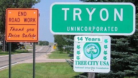
The McPherson County seat of Tryon is an unincorporated village.
Route: NE 92, NE 88 to Courthouse/Jail rocks and back, old NE 92, old NE 71, NE 71 down to CR 40 (Banner County) and back to US 26
A Big Breakfast with Hotcakes at the Broken Bow McDonald’s would have to serve as my fuel, as I would not see another place to eat until the end of the day. However, as a prepared Scout, I did have granola bars and Gatorade that came in handy later. Early clouds cleared rapidly, giving me nothing but sun as I drove through the Sand Hills, often with no other cars to see on NE 92.
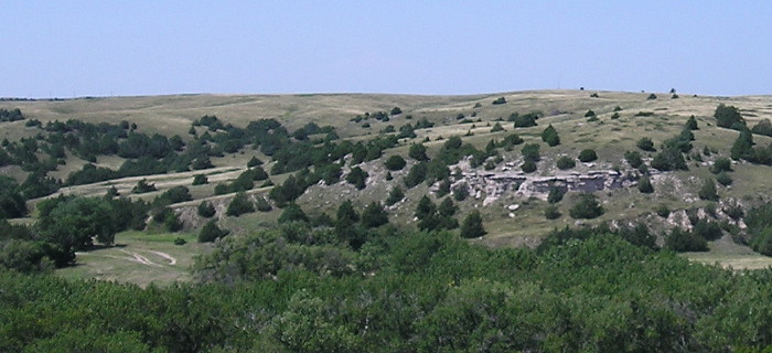
The view from Ash Hollow State Park, Oregon Trail ruts at left.
I stopped at Ash Hollow and Windlass Hill, where you can see Oregon Trail ruts and a pioneer grave. I’d been here once before, in 2009, but in a rush without a visitor center stop. Starting here, 92 engages in its dance with US 26, joining and separating the rest of the way. I also dipped south to see the Courthouse and Jail Rocks south of Bridgeport.
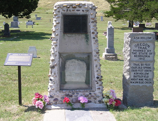
Preserved grave of Oregon Trail pioneer Rachel Pattison at Ash Hollow.
If you look at the map and wonder why US 26 isn’t simply routed east to US 385 north of Bridgeport, there’s a travel-related answer: Because then you would miss Chimney Rock. Right now, though, 26 was under construction, and with the landmark in sight…PTACK! a pebble or small rock, probably kicked up by the car in front of me, threw a ding into the windshield.
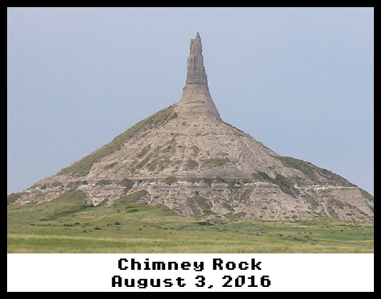
As seen on the Apple //e! OK, not quite.
For the Oregon Trail travelers, Chimney Rock marked the completion of one-third of the journey — the easy part. Today, it’s literally less impressive than it was 175 years ago, after attacks from erosion and lightning. But it’s still a pretty sight, and has a nice visitor center.
From there, Scotts Bluff (the natural formation) is visible, a real sign I’m in the High Plains. And in summer it’s open until 7. Thank you, National Park Service! The late sun made for spectacular views.
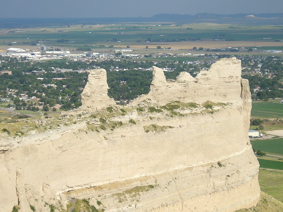
View from the top of Scotts Bluff in the summer evening light. Chimney Rock is barely visible in dead-center background, above the middle bluff peak.
Highway 92 used to run through Scotts Bluff National Monument, but now 92 is on a bypass west and north of Scottsbluff. I got one of a surprisingly few hotel rooms available and made some calls to deal with the windshield.
