
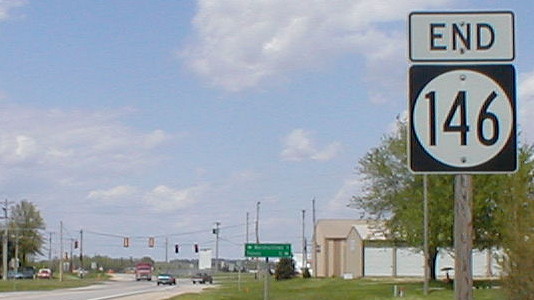
May 13, 2002: North end of IA 146 in Le Grand, pre-bypass. The straight-through alignment of US 30 through Le Grand existed throughout the second half of the 20th century. Between the intersection here and Montour, though, there is some discrepancy as to the true route of the Lincoln Highway:
- The Lincoln Highway Map Pack uses T47 and the post-1954 alignment of US 30, running north then west from Montour to Le Grand, and never acknowledges the south alignment.
- But the first state map, in 1919, uses E49 and two miles of what is now IA 146. That road was marked as IA 6 in 1920.
- A Complete Official Guide of the Lincoln Highway (1924) also uses the latter route. The Lincoln angled off south of the point seen above to stay away from the railroad tracks. Later on, a bridge was built across the railroad tracks to the west, which stayed in use until 2004.
- Marshall County put up a marker in 1925 on the south alignment.
- The south alignment was the first US 30 and remained so until 1954.
- When the DOT signed the Lincoln Highway in the early 2010s, the north alignment was signed as the main route while the south route was designated a loop. The signed route uses the necessary deviation of crossing the railroad tracks on new 30, but then goes through Le Grand and rejoins the four-lane east of town.
Since the picture at top was taken, 146 has been extended northward a fraction of a mile past the East Marshall athletic complex to new 30.