
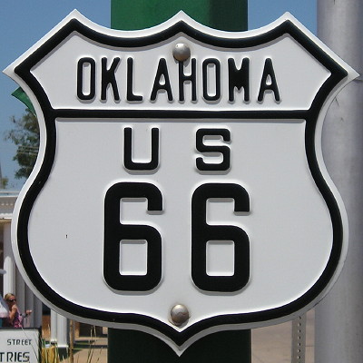
August 4, 2010: Replica early cutout highway sign at the Chandler (OK) US 66 Interpretive Center.
Traveling Route 66 is something every roadgeek (or at least those in the western half of the country) gets the urge to do. I came across a few websites about the Mother Road and wanted to pass them on.
- Stefan Joppich’s “Route 66 Web and Atlas” includes his drawn detailed maps and many photos (most appear taken in the early 2000s) of every alignment of the road and which parts are still drivable today. What makes this set more impressive is that Joppich lives in Germany. This website doesn’t appear high on Google’s search results, so it’s a hidden gem.
- “Driving Route 66” is a website dedicated to doing just that. It has links to Google Maps of a single mainline route of US 66 in each state, using a mix of alignments but including some of the major reroutes south of Springfield IL and through Santa Fe. If you wanted to drive 66 straight through, this set of maps would be useful in doing so.
- The Road Wanderer has a lot about US 66, again going state-by-state, with guides and photos (and Web design) from the early 2000s. Enough time has passed that some of the places photographed have gone into further decay and are now lost to history (for example, the “Longest Map of Route 66” near Meteor Crater).
One day I want to be “standin’ on the corner in Winslow Arizona,” and it’s websites like these that will help me enjoy the trip there.