
When I looked at the towns in Iowa I had yet to visit, I noticed many of them were on the periphery of the state. Then, I noticed that my least-recently-visited counties were also on the periphery of the state. Combine that with the facts I had never traveled county-road parts of the Great River Road in Iowa nor spent much time exploring the Loess Hills, and you have a recipe for Around the State in Eight Days.
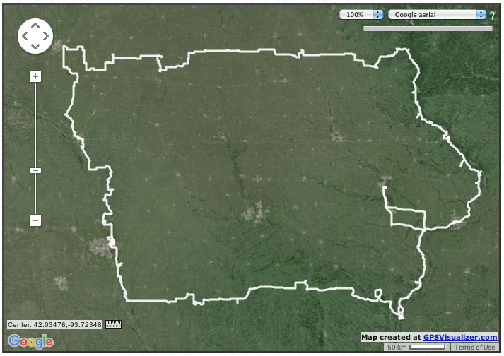
The up-and-down in northwest Iowa was to strategically hit new towns; the chunk taken out of the west was to do the Loess Hills instead of I-29 on the floodplain. The short straight and almost-straight horizontal lines at the northwest and northeast corners along with much of the middle mark the approximate location of the northern border. The extra squiggles in Lee County are from an overnight stay and backtracking south of Montrose.
September 28, 2015: View from Great River Road scenic overlook at Balltown in Dubuque County.
This trip was my only venture into far western and southern Iowa in 2015. The rest of the year was spent east of an Armstrong-Des Moines-Keokuk line. However, I had both by circumstance and strategy done a lot of traveling on the other side of that line in 2014.
The trip covered more than 1700 miles and 1300 pictures. I learned a lot on this trip, and I will eventually bring it in bite-size blog posts and/or a photo gallery*. On the eight-day journey, I only spent 5½ hours outside the state (not counting where the road was on the state line).
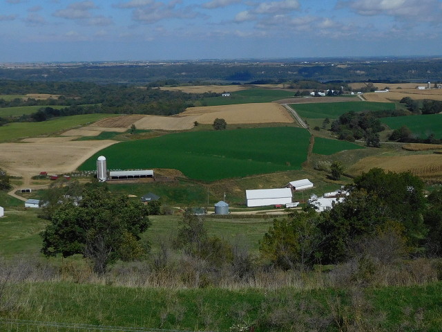
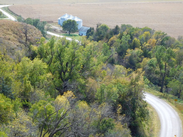 October 1, 2015: View from Loess Hills scenic overlook between Pisgah and Little Sioux in Harrison County.
Doing the Great River Road in Iowa requires three solid days (at least), but it’s worth it.