
“Do I contradict myself? Very well, then I contradict myself, I am large, I contain multitudes.” — Walt Whitman
My sister remembered I wanted to see her in Colorado! That’s good! But I have to do it by Memorial Day. That’s less good.
Clinching US 34 is right out, then. It’s shut down through Rocky Mountain National Park until Memorial Day.
But I could still do it in Nebraska. Besides, I want to get to Traer, Kansas.
You are the only person in the world who would mark Traer, Kansas, as a must-see.
Hmm. I could still reach Traer on a loop if I stayed on US 6 and ducked into that county in the corner.
You mean like how you walked three feet into the one by the northeast corner of Colorado?
Still counts. I’d at least be in the car this time.
You’ve had this idea planned for a year, and now you’re just going to ax the entire return leg via US 34/36?
I’d just have to do 34 in far western Nebraska some other time. Maybe throw US 138 into the mix then. Yeah, I’ll miss out on the whole thing, but that’s the way it goes.
OK. Let’s look south. You haven’t been to New Mexico in 19½ years. Never been on an interstate there either. Santa Fe is…five hours and change. Seven if you want to make it interesting.
oh jeez
Grand Junction? Out on 24/6/70, back on 50?
Maybe. That’s a challenge for a flatlander, especially one who won’t have his road-tripping sea legs. Colorado is notoriously horrible at signing when 6 gets on and off I-70 through the mountains, though.
And back to Pueblo. Then what?
US 350 is one of the country’s shortest US routes, and it’s probably an hour added on vs. I-25 to Trinidad. And it follows the north route of the Santa Fe Trail.
[stares at map some more, realizes he should get Kansas Atlas & Gazetteer]
[curses Google for the eleventy billionth time for not putting county lines on as default]
Hey. I could travel the entire route of US 56, which is also the auto route for Santa Fe Trail. Wouldn’t that be wild, hitting multiple historic Western pathways within a year?
You have a strange definition of “wild.”
Look! The Oklahoma Panhandle! Five US routes converging in the middle of nowhere! Multiple state corners!
But then that is a lot of Kansas.
A LOT of Kansas.
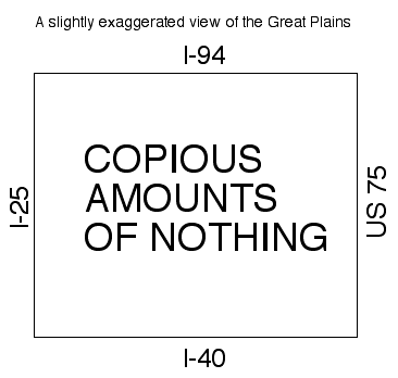
That’s the worst map you’ve ever drawn.
Well, I didn’t take time to mark Mount Rushmore. And I’d rather drive 60 through nothing than 20 through something, anyway.
No one who cares enough to map their travels has ever gone the entire length of US 56.
Then I’ll be the first. It would make a huge dent in my unvisited space in the almost-Southwest U.S.
You’re really thinking about doing this, aren’t you?
I am very probably going to try.