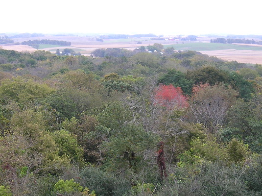
October 4, 2016: The view from the Pilot Knob observation tower, which is 30 feet tall. Enjoy it before I drop some earth-leveling news.
While working on the page for IA 237, the old spur to Ocheyedan, I had a realization. For decades, Ocheyedan Mound (elevation 1613 feet) was considered the highest point in Iowa. But when that recognition was moved to Hawkeye Point (el. 1670), it’s not like the mound disappeared.
Then, last fall, after I visited Klemme and toured the Winnebago factory complex in Forest City, I stopped by Pilot Knob State Park, which will be 95 years old in 2018. Like Ocheyedan Mound, the highest point in the park is a glacial kame. But unlike the mound, it has a specific claim.
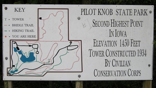
October 4, 2016: Number 2 on the sign, but Number 1 in someone’s heart.
Wait a minute. Wait. Aaaaaaa. Min-ute.
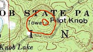 USGS topo; 1400, 1450 marked
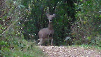
October 4, 2016: On the path to the CCC tower at Pilot Knob: Doe, a deer, a female deer.
An elevation of 1450 is a drop of more than 100 feet from the two Osceola County points. Once the highest something becomes the second-highest something, it follows that the second-highest something should become the third-highest something. But even the official Iowa DNR page still bills Pilot Knob as the second-highest point in Iowa, and that can’t be remotely true.
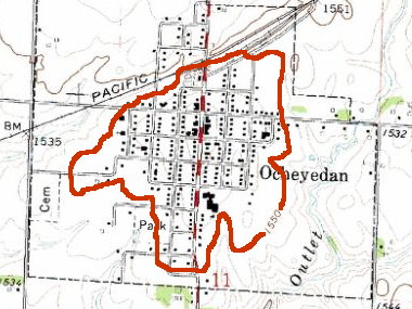 USGS topo
The entire town of Ocheyedan is above 1550 feet — 100 feet higher than Pilot Knob. A significant percentage of Osceola County is above 1500 feet.
It doesn’t take much of a peak or rise to be a high point — at Hawkeye Point, you wouldn’t think about it if not for the newish stone slab saying so. But if you were standing in the parking lot of the now-demolished Ocheyedan school, you would be at a higher elevation than even the top of the Pilot Knob observation tower.
The reassignment of Iowa’s highest point automatically should have demoted Pilot Knob in the hierarchy, and the maps above show that it should go even lower. With the information and measuring tools we now have available, why hasn’t anyone else noticed this?
