
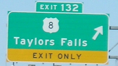
March 19, 2007: I-35 north of the Twin Cities. The west end of US 8 (a partial interchange) and the north end of US 61 are right after each other.
March 19, 2007: I-35 north of the Twin Cities. The west end of US 8 (a partial interchange) and the north end of US 61 are right after each other.
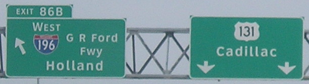
June 25, 2007: Near the President Gerald Ford Museum in Grand Rapids. US 131 has half a mile in Indiana (which I clinched in 2000) and the rest is in Michigan.
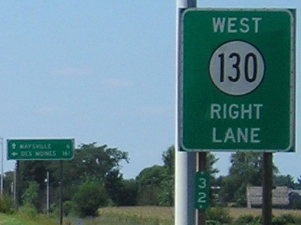
August 31, 2007: East end of IA 130 at I-80. The route used to go to downtown Davenport. Between 1941 and 1969, it was part of IA 150. It was considered a slightly more important route at the time, but 150 was later truncated to Marion and then moved from Cedar Rapids completely. You can see traces of it when certain zoom levels of maps include IA 130 and then IA 38 between Tipton and US 30.
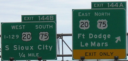
June 12, 2005: One of the signs with the semi-infamous text “I-129” in Sioux City. This is the east end of I-129, which is a few hundred feet away from the state line.
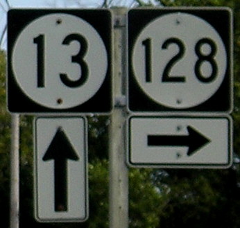
September 7, 2006: West end of IA 128 in Clayton County. Slightly different numerals for the three-digit sign.

And that’s all I have to say about that.
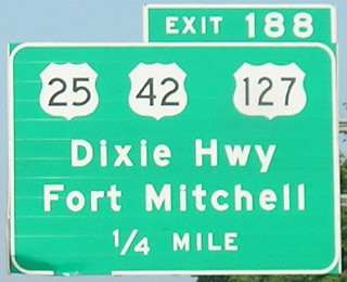
July 7, 2008: I-71/75 in Covington, Kentucky, approaching Cincinnati. US 25 is redundantly multiplexed from its junction with 42 and 127 in Florence, a few miles southwest, and then literally ends on a bridge in the middle of the Ohio River.
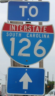
August 11, 2006: The intersection of Gervais Street (US 1/378) and Huger Street (US 21/176/321) in Columbia, South Carolina, a short distance south of I-126’s east end. The South Carolina State Museum is at this intersection.
The Iowa Geographic Information Server has long had 1:24,000 and 1:100,000 topo maps available on its map and photo site, but the USGS has taken it one step further.
Zoom where you want. Then set a marker, get a list. Select and download. You must have cookies enabled to see the map. The PDFs are VERY large.
Search by place name here. (You must know the name of the “quadrangle”, though, which you likely don’t.)
For example, here’s what shows up for Traer:
The download list does not differentiate between the originals and photorevised versions without a little extra work. Hover over the year in the listing and it will give more information. It is not pure reverse chronological order.
Point. Click. Drink from the firehose.
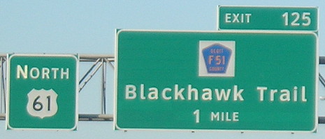
August 31, 2007: Clearview in Scott County. This is at the exit for F55. Just to the east is the south end of old IA 956.